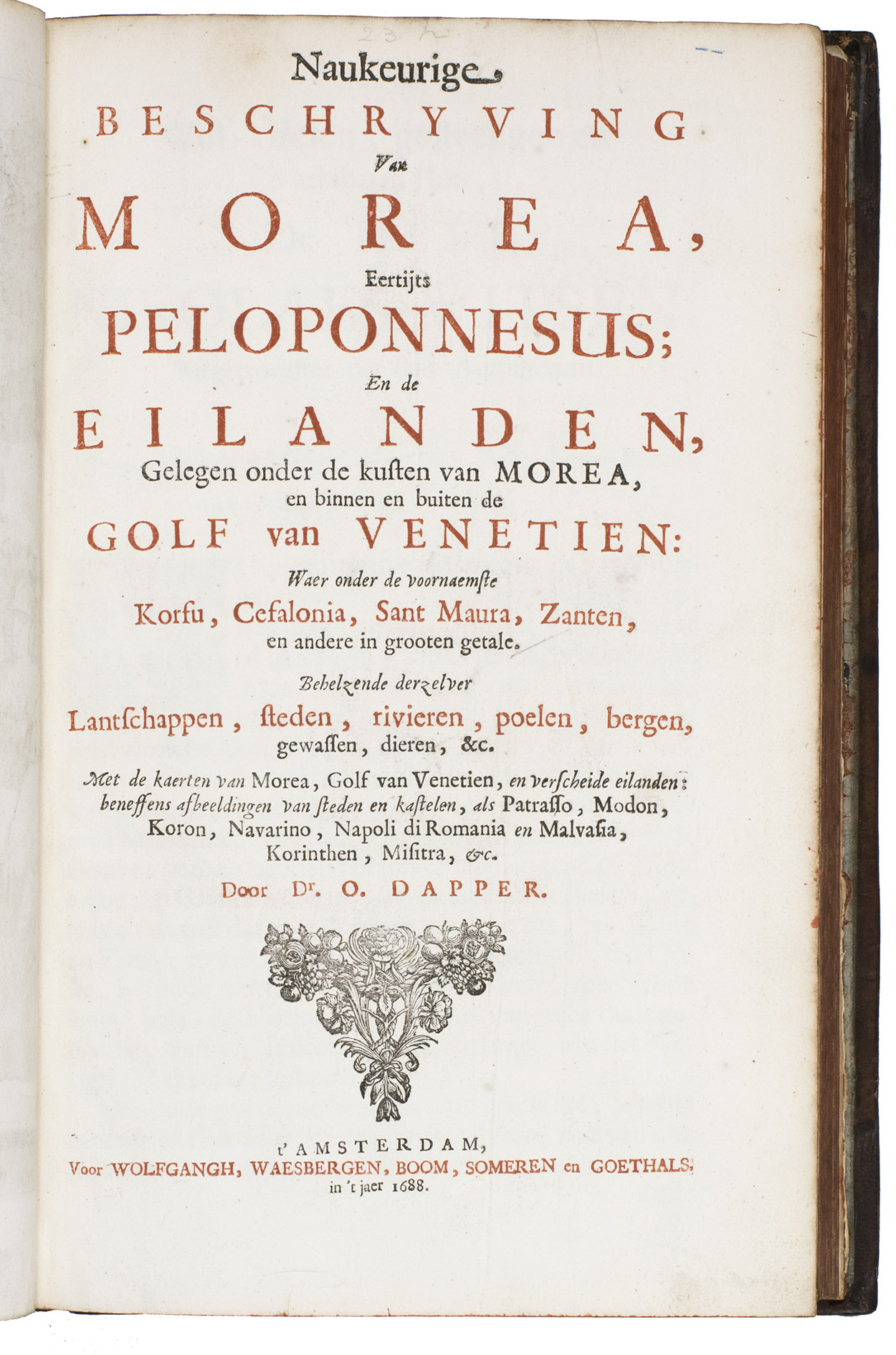
DAPPER, Olfert.
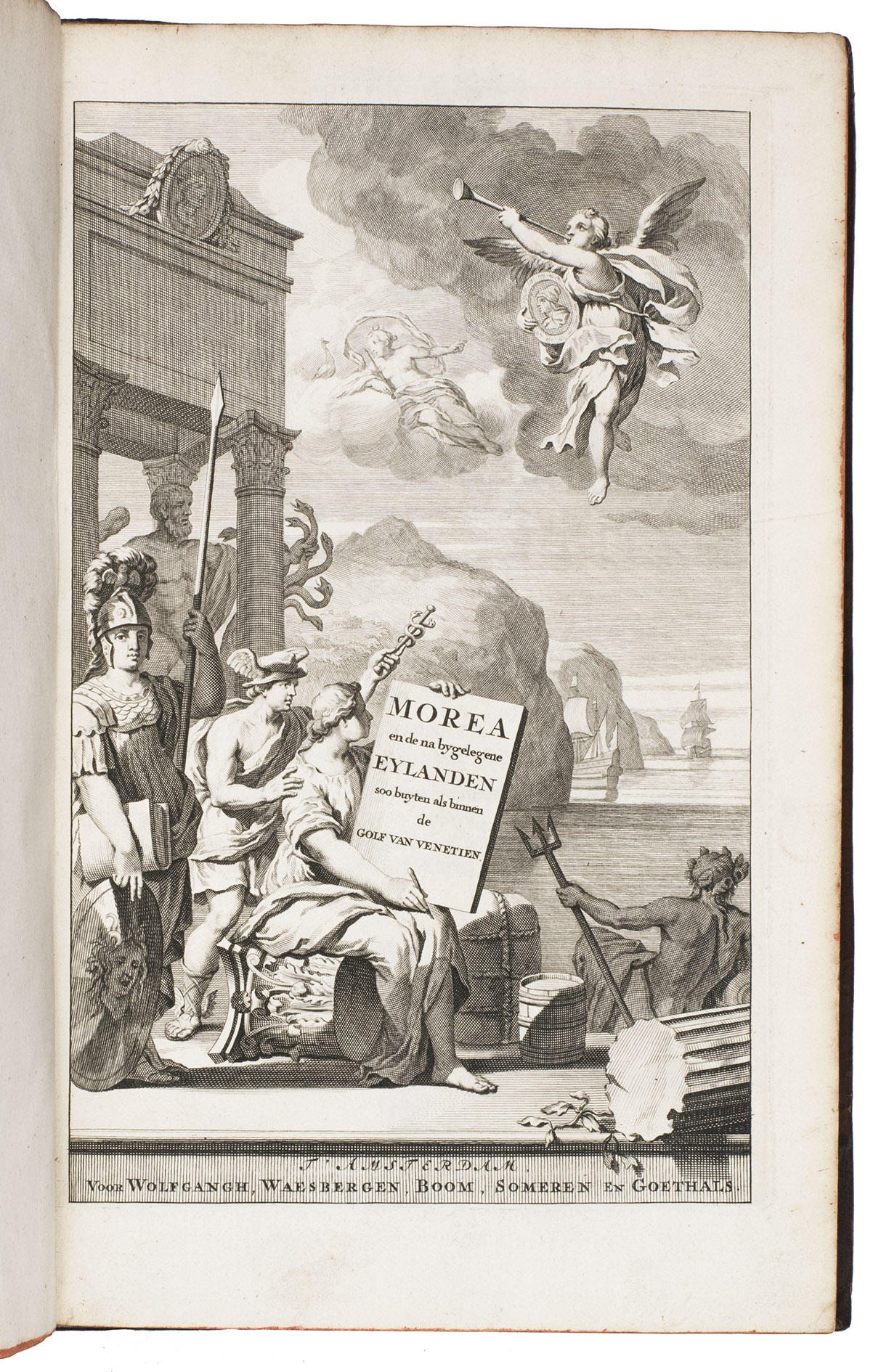
Naukeurige beschryving van Morea, eertijts Peloponnesus ...
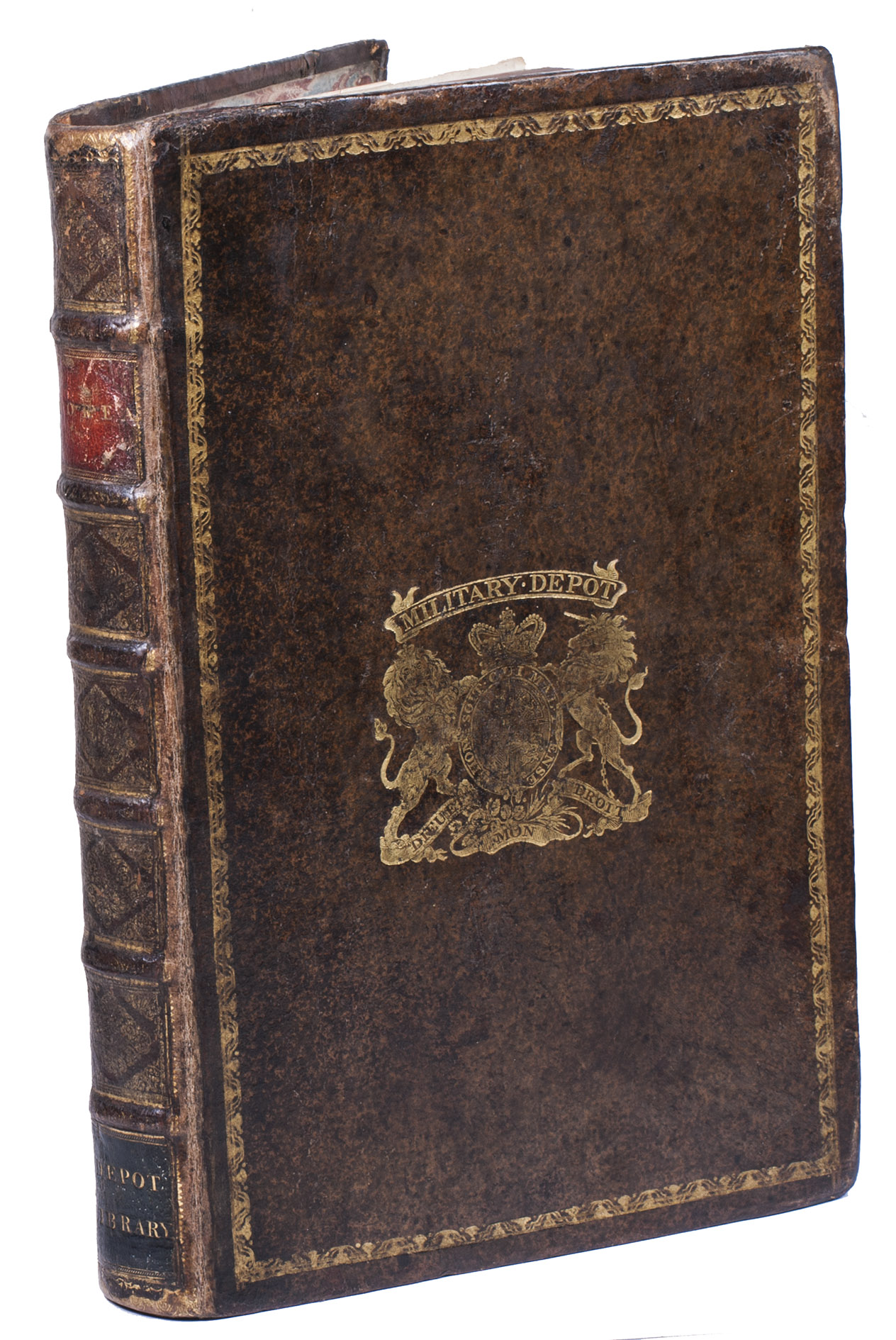
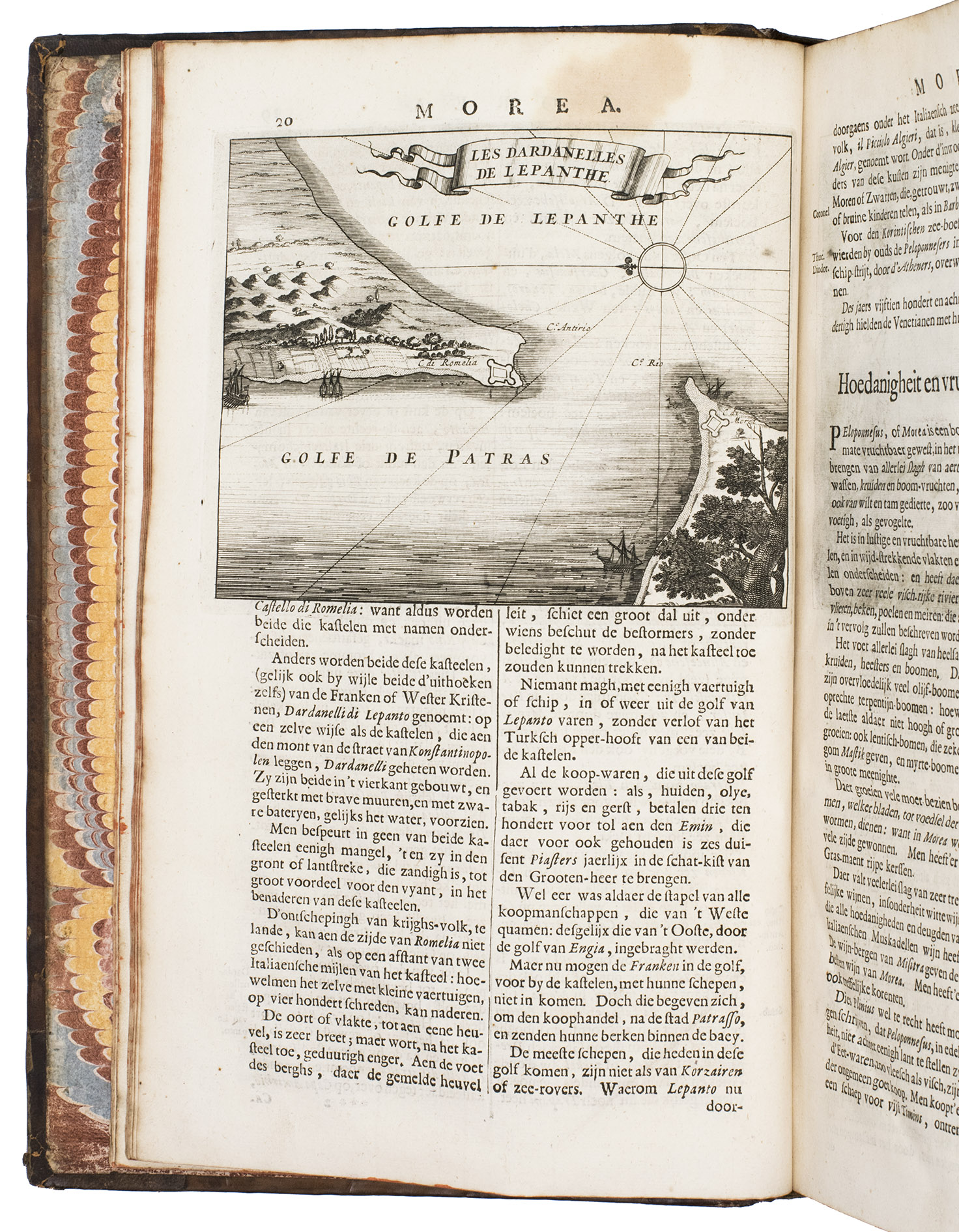
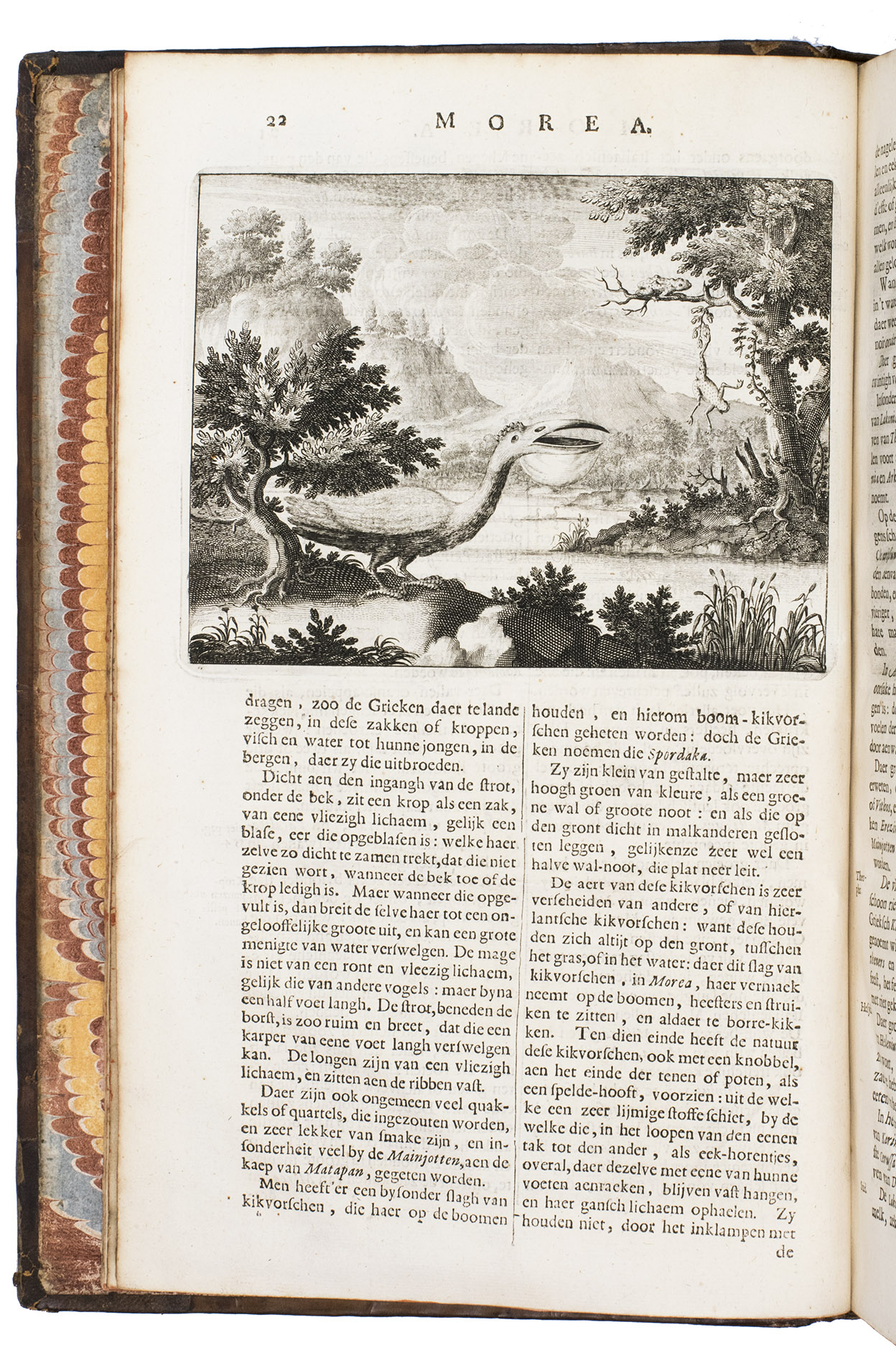
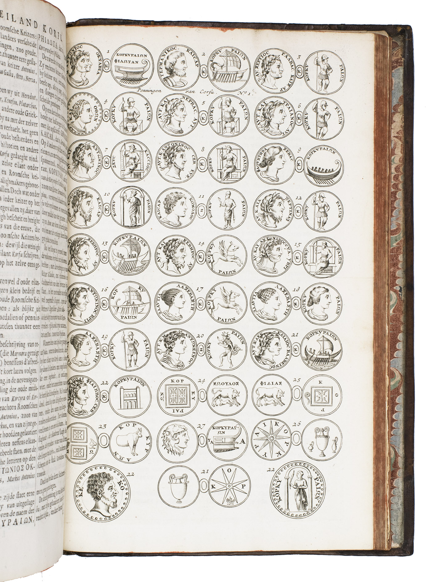
Amsterdam, Abraham Wolfgang, firm Janssonius van Waesbergen, Dirk and Hendrik Boom, Joannes van Someren and Rembertus Goethals, 1688. 2 parts in 1 volume. Folio. With an engraved title-page, 2 folding maps, 9 double-page plates and maps, 6 single-page plates and 29 half-page engravings in the text. Further with a woodcut ornament on the typographical title-page (printed in red and black) and 4 woodcut initials. Contemporary gold-tooled speckled brown calf, a red morocco title lable lettered in gold and a black morocco label lettered in gold on the spine. Both boards show a gold-tooled ornamental frame, with gold-tooled royal coat-of-arms of the United Kingdom beneath a gold-tooled banner lettered in gold "military depot" as a centre piece on the front board. Further with gold-tooled board edges, red edges, marbled end papers. [8], "168" [= 264]; [12], "164" [= 181], [6], [2 blank] pp.
€ 7,500
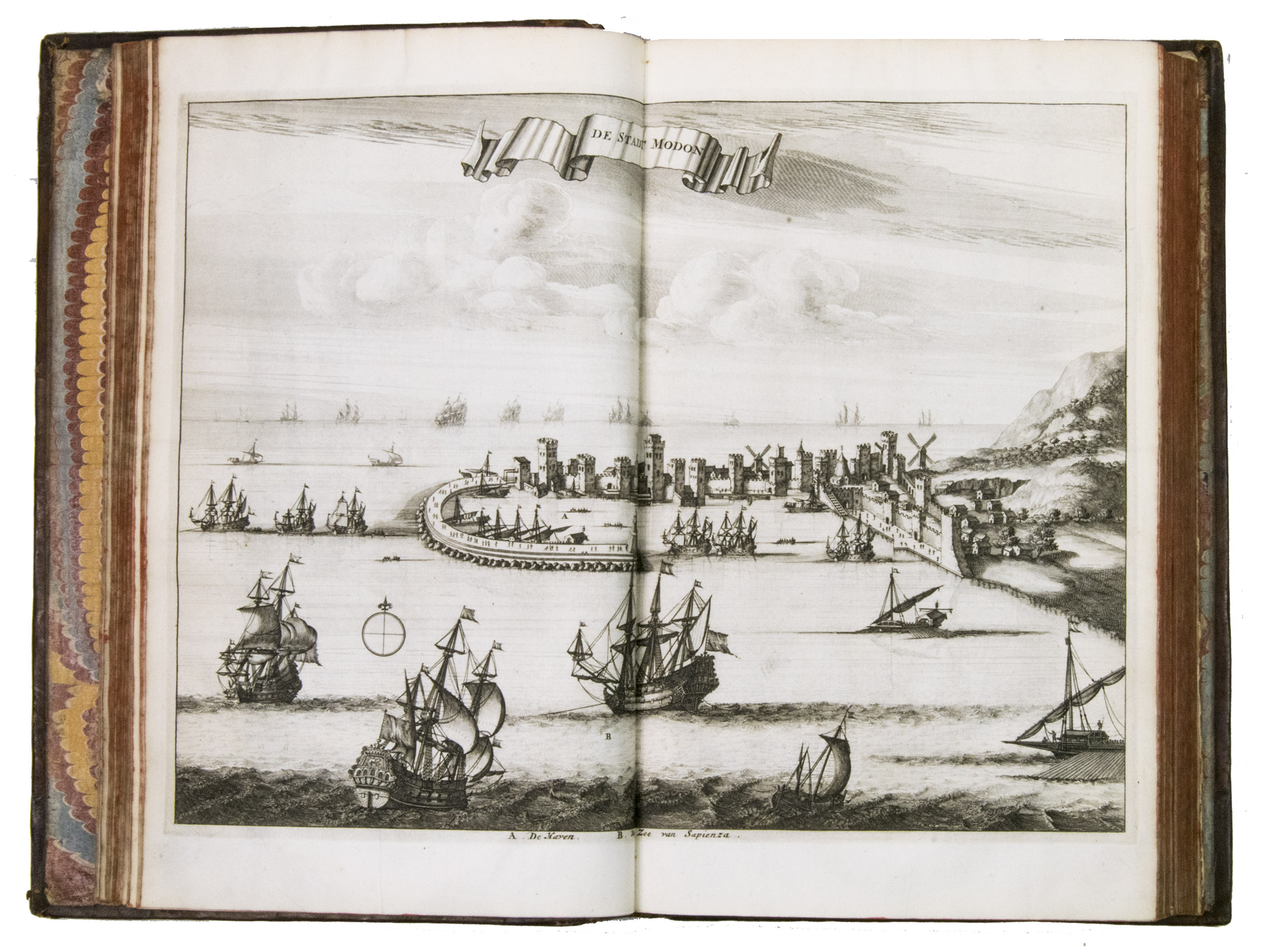
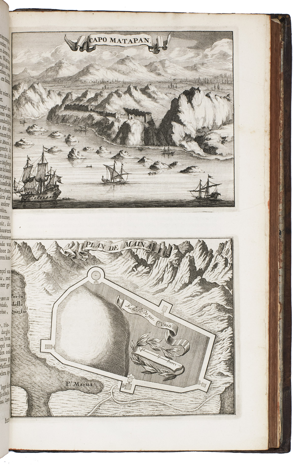
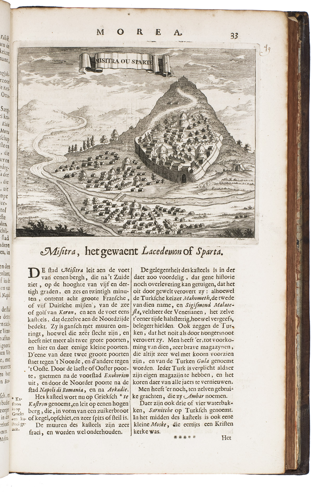
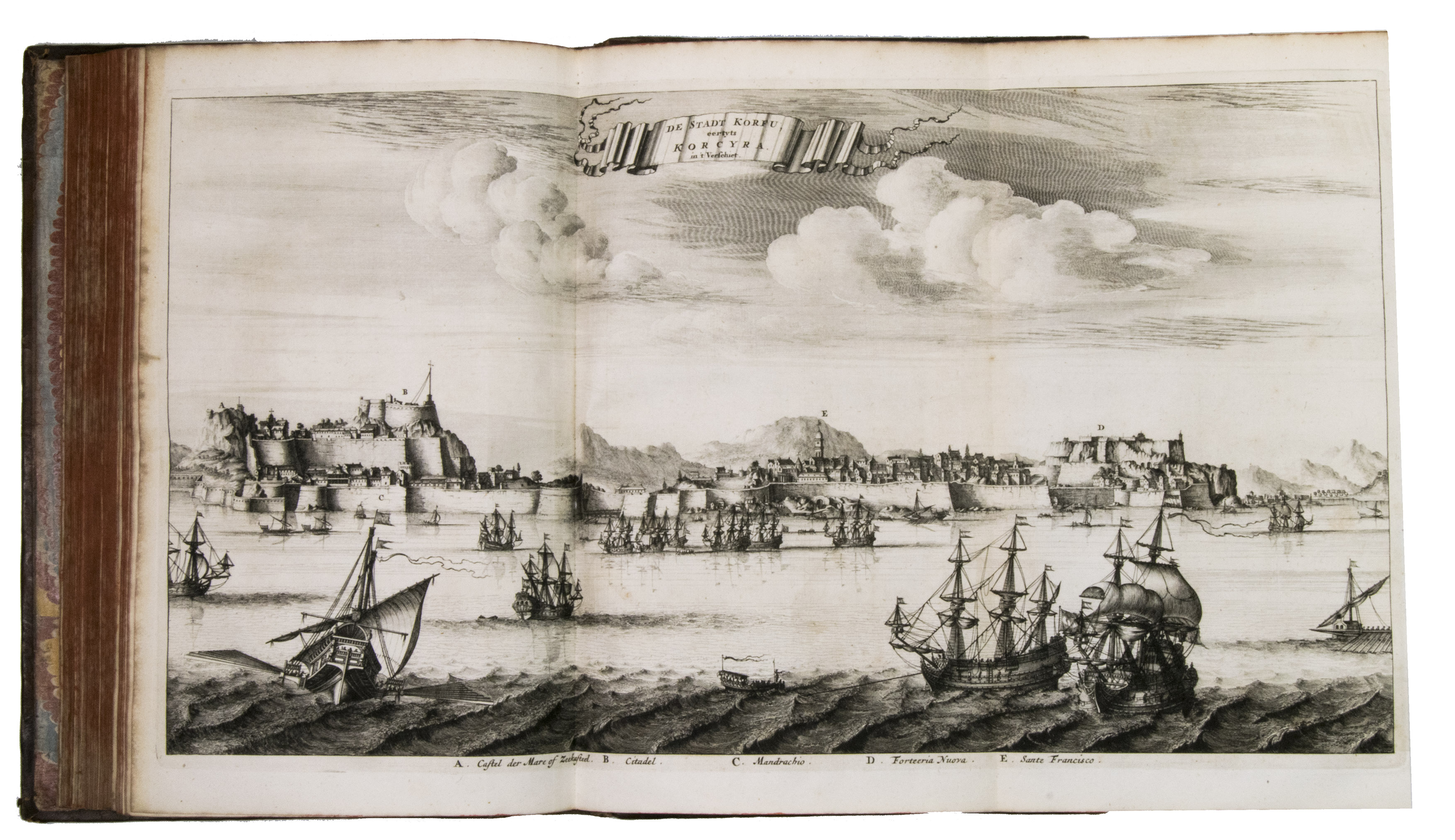
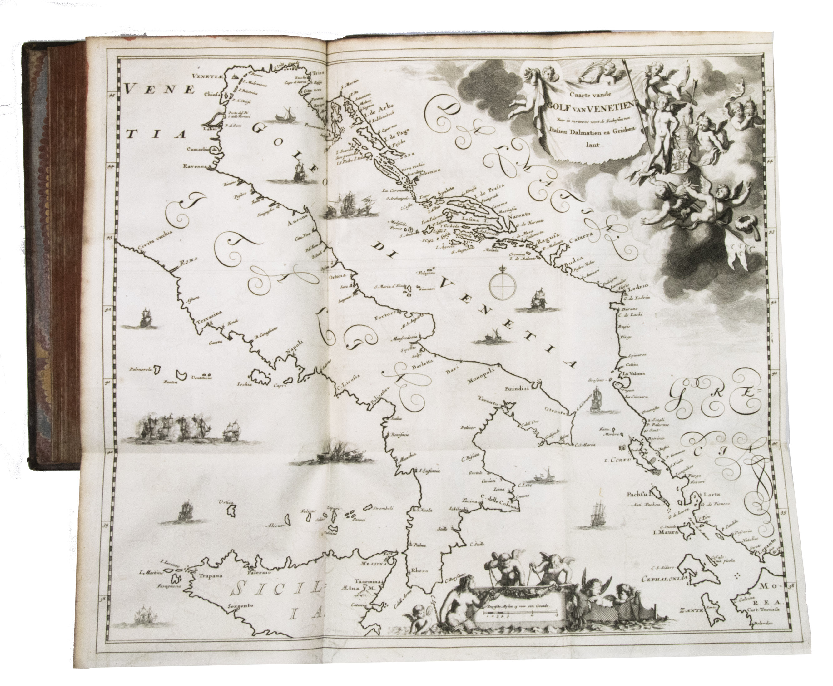
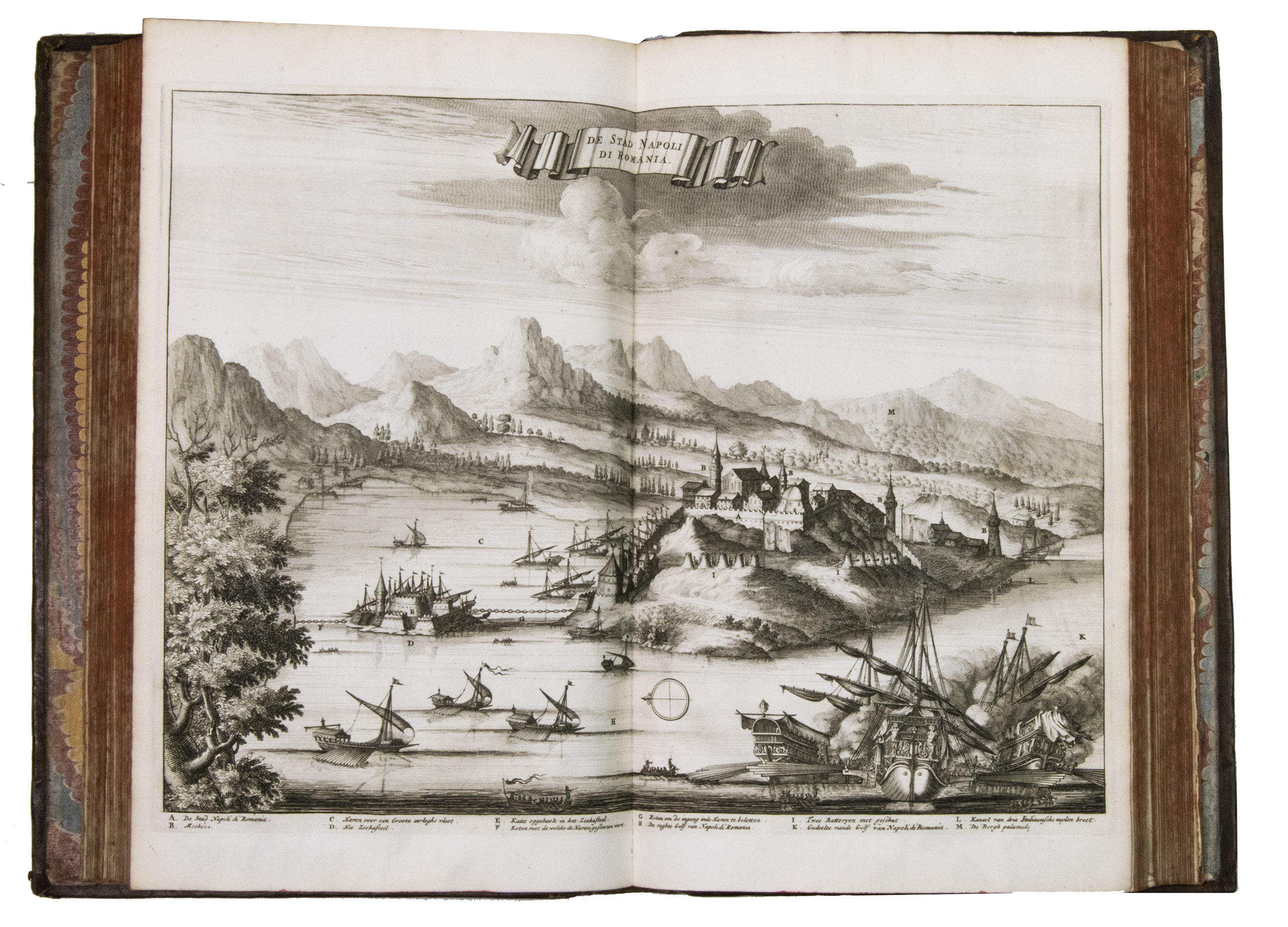
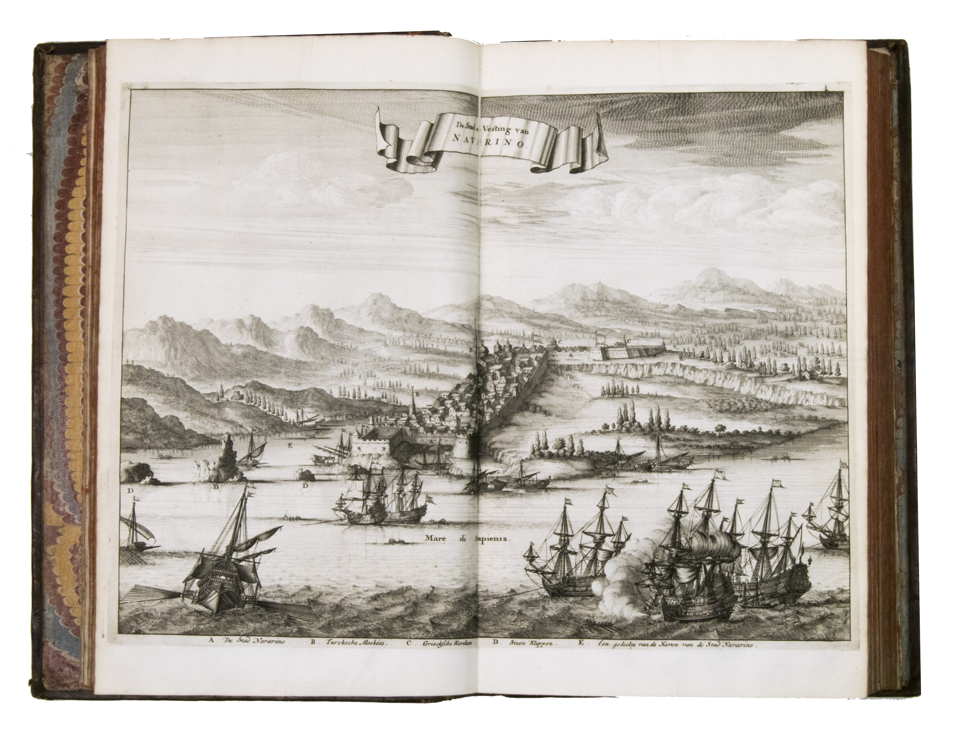
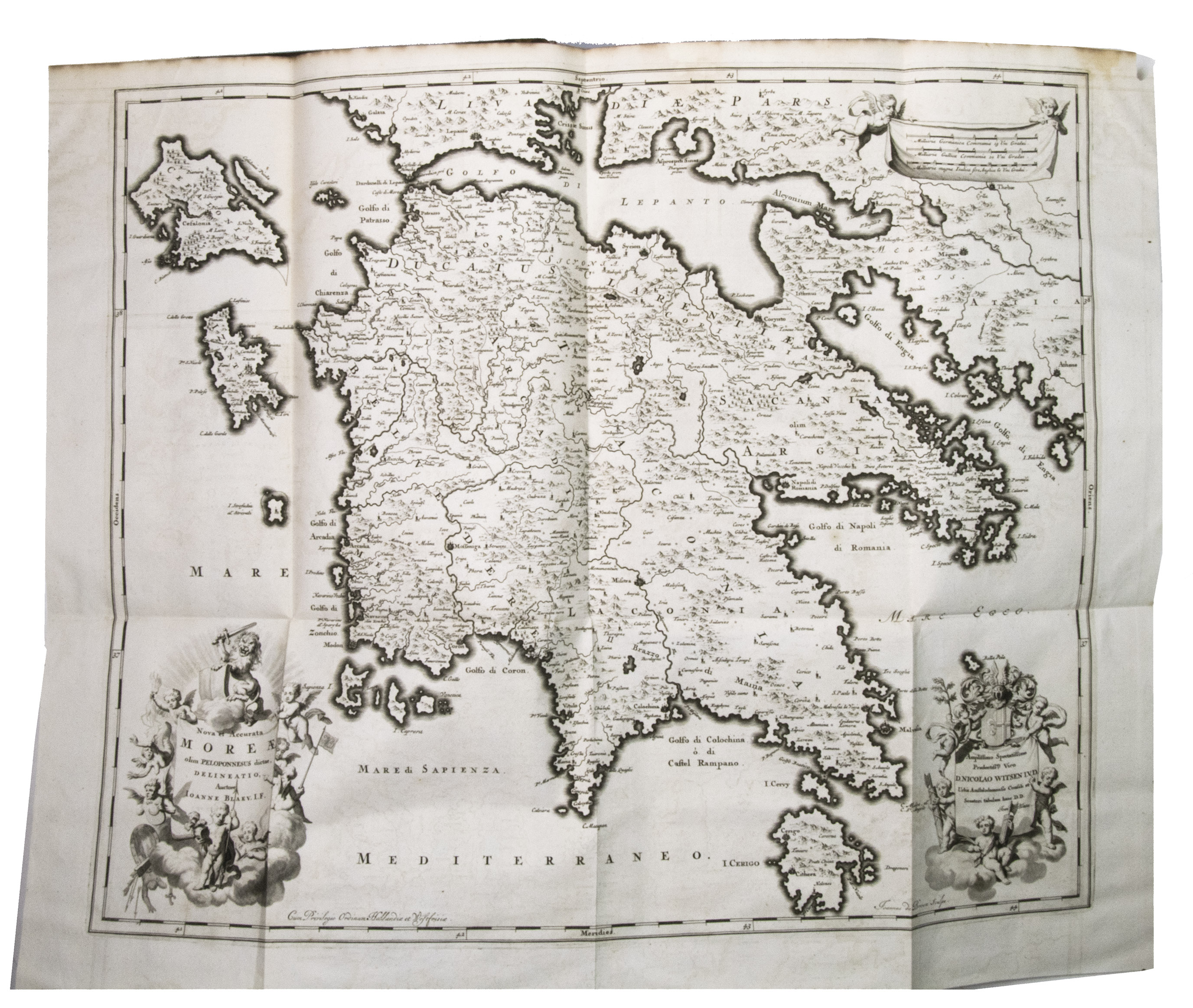
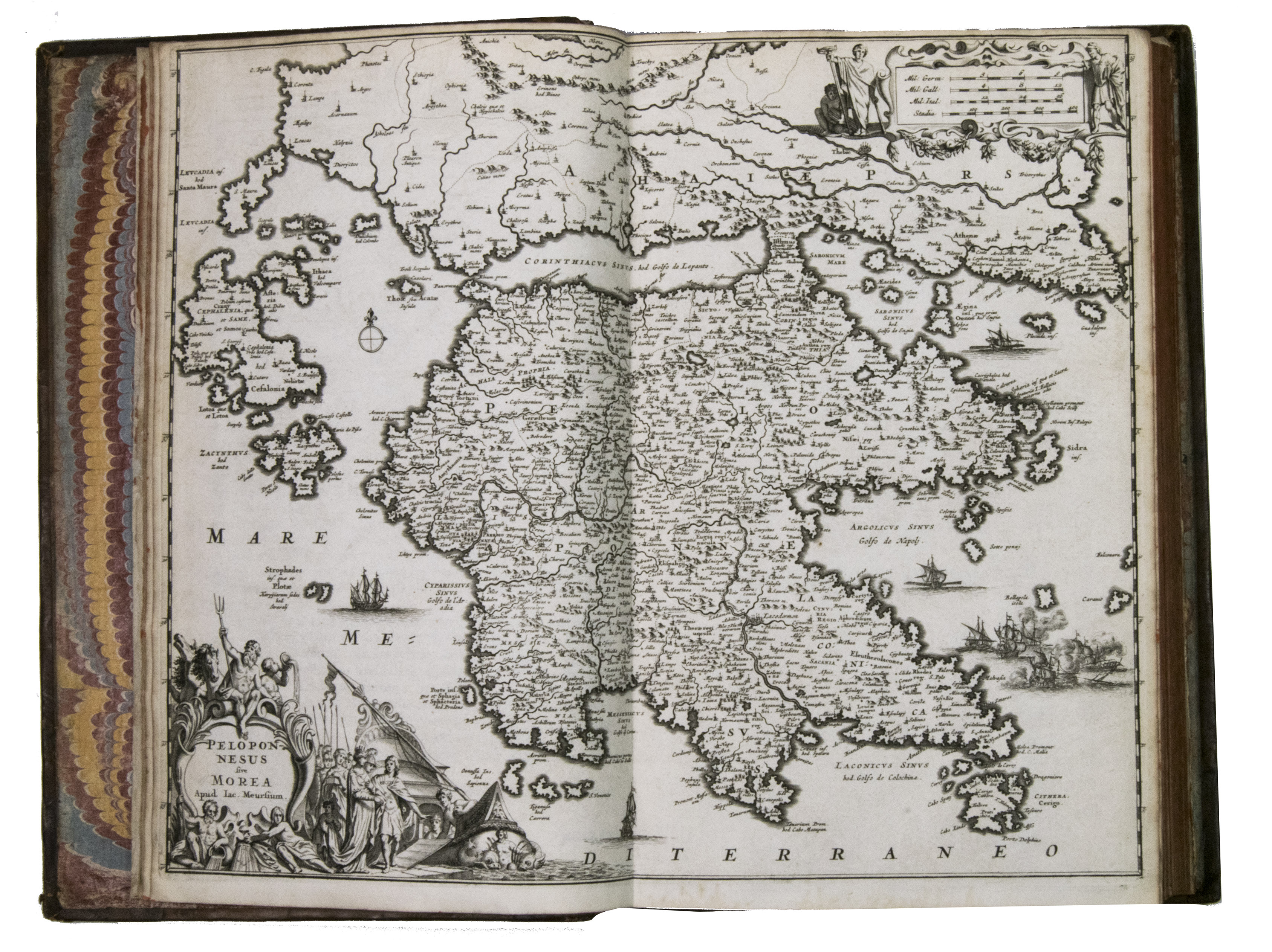
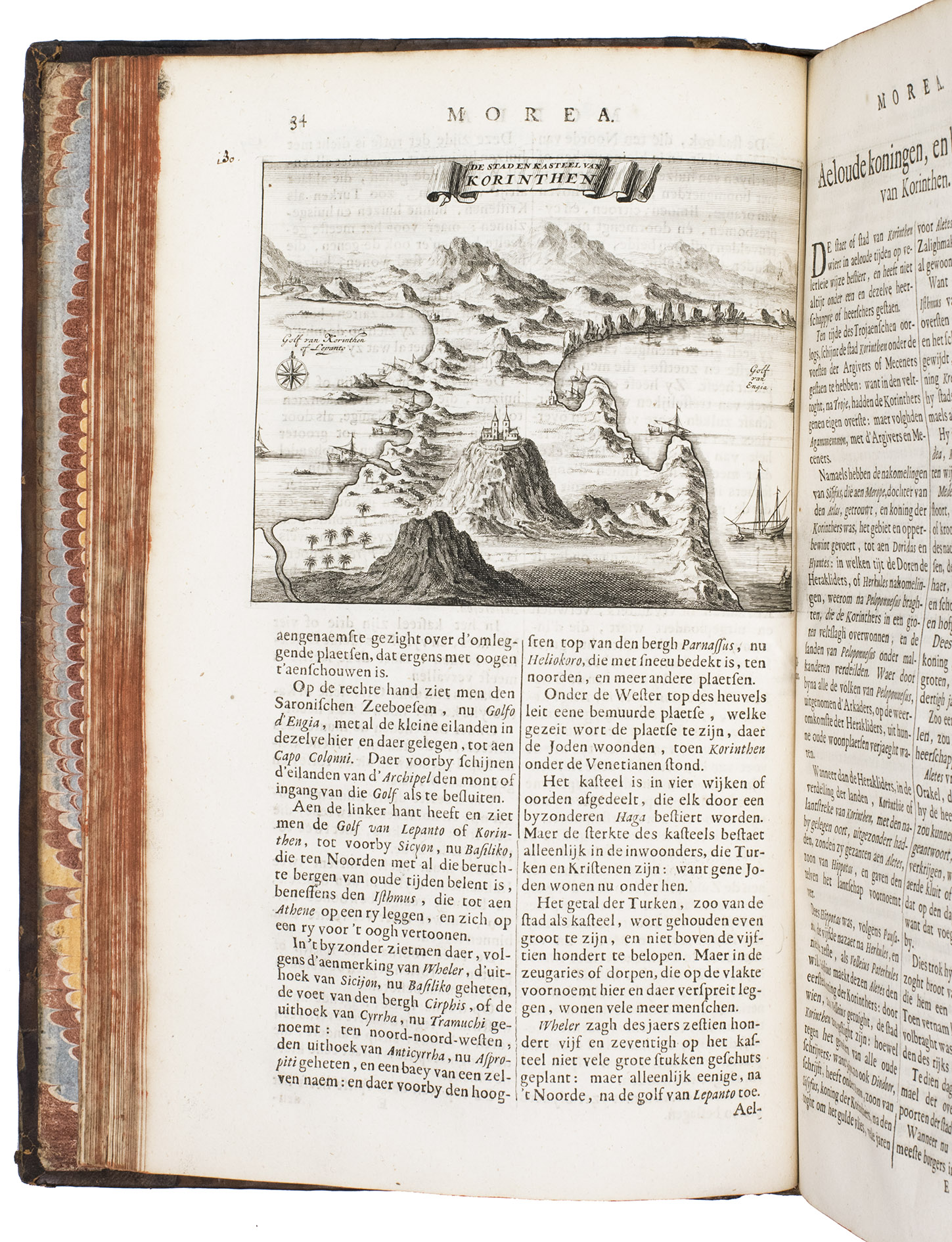
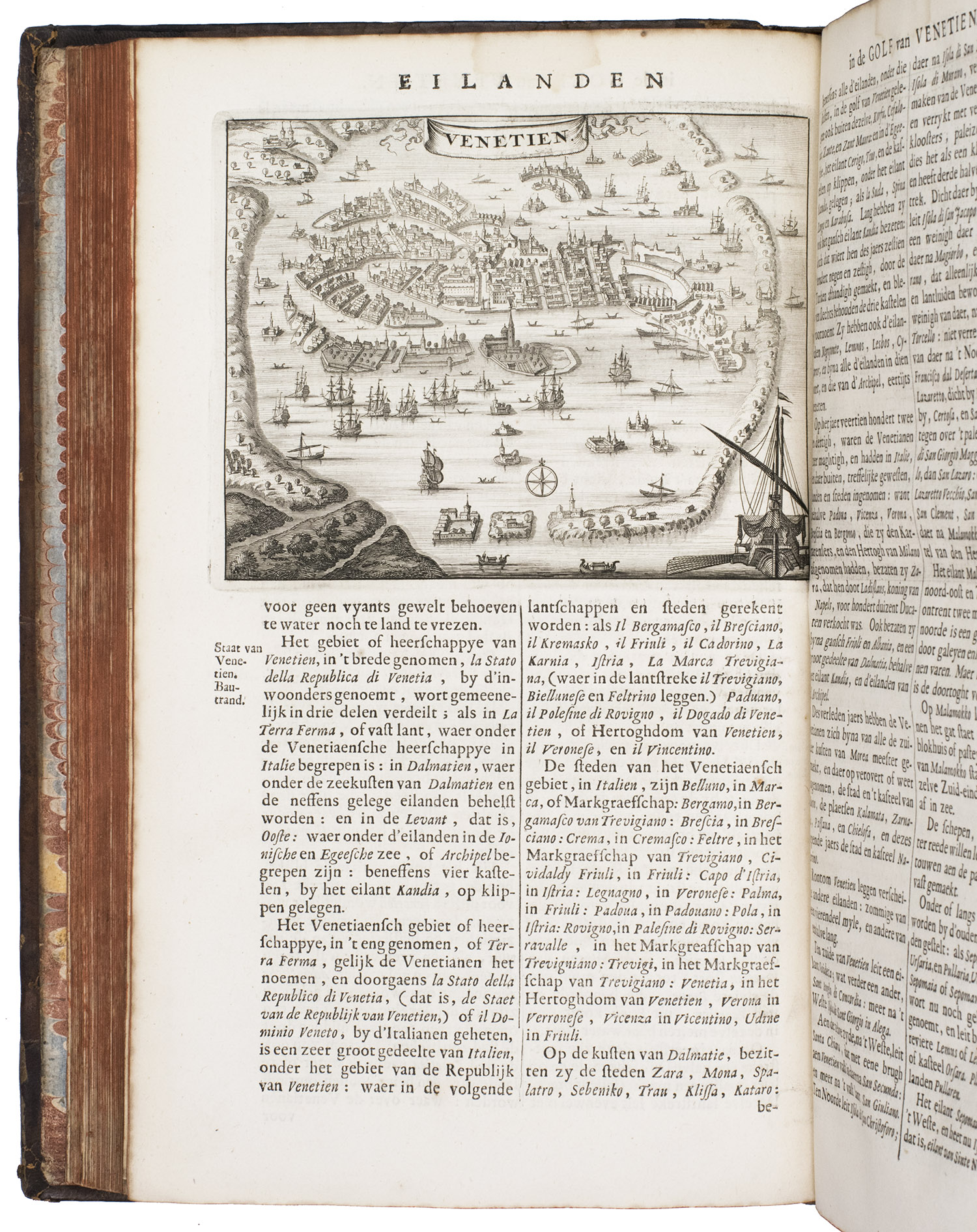
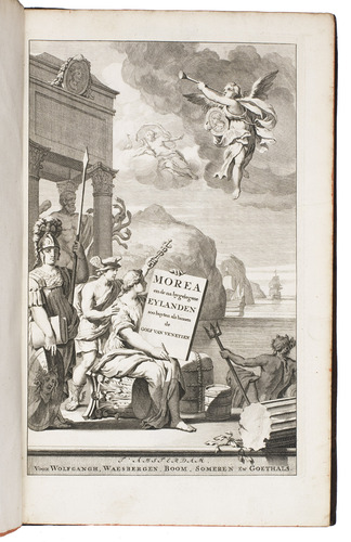
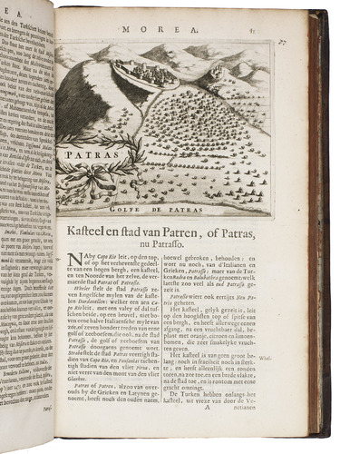
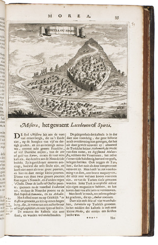
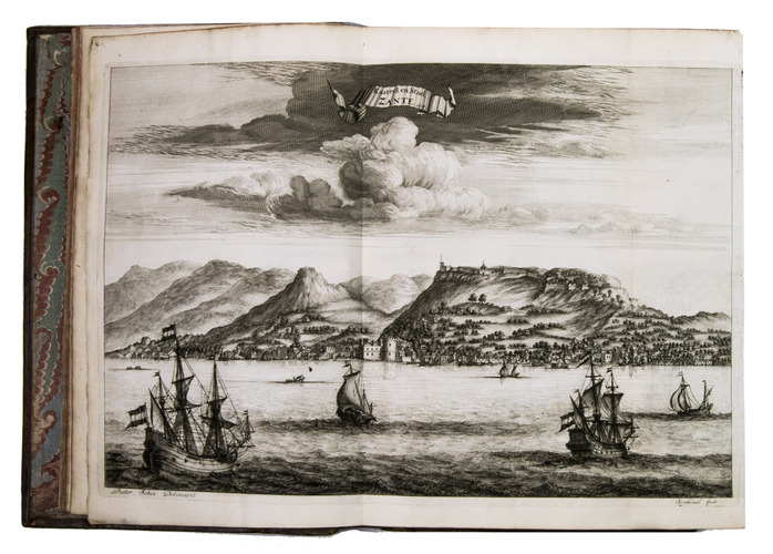
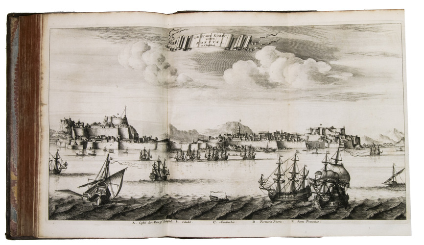
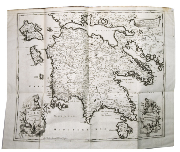
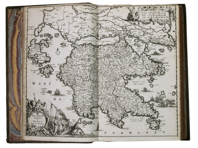
First and only edition of an important and richly illustrated work on the Peloponnese and the Adriatic Sea, with descriptions of Venice, the Dalmatian coast, and several of the major Greek Islands. The work is notable for its fine plates, after Vincenzo Maria Coronelli (1650-1718), Jacob van Meurs (ca. 1620-1679), Joan Blaeu (ca. 1598-1673) and others. It was probably published in response to the Morean War (1684-1699), the sixth conflict between the Republic of Venice and the Ottoman Empire, in which Venice took control of the Peloponnese peninsula (also known as Morea). The maps show various locations from this battle.
The Dutch physician and scholar Olfert Dapper (1639-1689) wrote several highly esteemed descriptions of various parts of the world, based on travel narratives from the late seventeenth century. With remarkable frequency, he published historical and geographical works on Africa, Asia (India, China, and the Dutch East Indies), the Middle East (Palestine, Persia), and the Mediterranean, all richly illustrated. The present work is one of his last. He never travelled himself, but read widely, and the numerous sources he cites throughout his texts testify to the wealth of knowledge he possessed. Some of the authors he cites in the present work are: Herodotus, Pliny the Elder, Ptolemy, Plutarch and John Chrystostom.
The present copy bears the royal arms of the United Kingdom on the front board, with the text "Military Depot" in a banner above. It must have been part of the collection of a British military regiment, but it is unknown which one. The work may have been bought by the British army as a source on the region.
The page numbers in the first part have been corrected by an 18th-century hand. The work has been rebacked, with the original spine laid down, the leather is slightly rubbed and scratched, somewhat affecting the clarity of the gold-tooling. Page 48 of the first part has some loss of material in the fore-edge margin, without affecting the text, the plate of Zante has been bound upside down. Overall in very good condition. Navari, L., Cyprus and the Levant: Rare books from the Sylvia Ioannou Foundation I, p. 117; STCN 841792194 (17 copies including 2 incomplete); Tiele 303; USTC 1821186 (15 copies, same as STCN); Zacharakis 824-828.
Related Subjects: