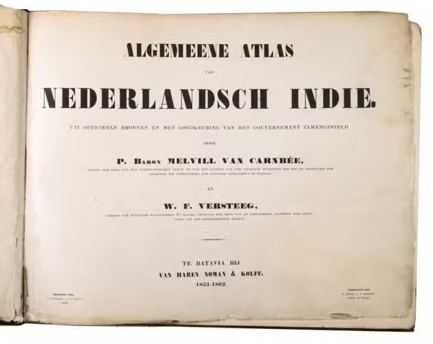
MELVILL VAN CARNBEE, Pieter and Willem Frederik VERSTEEG.
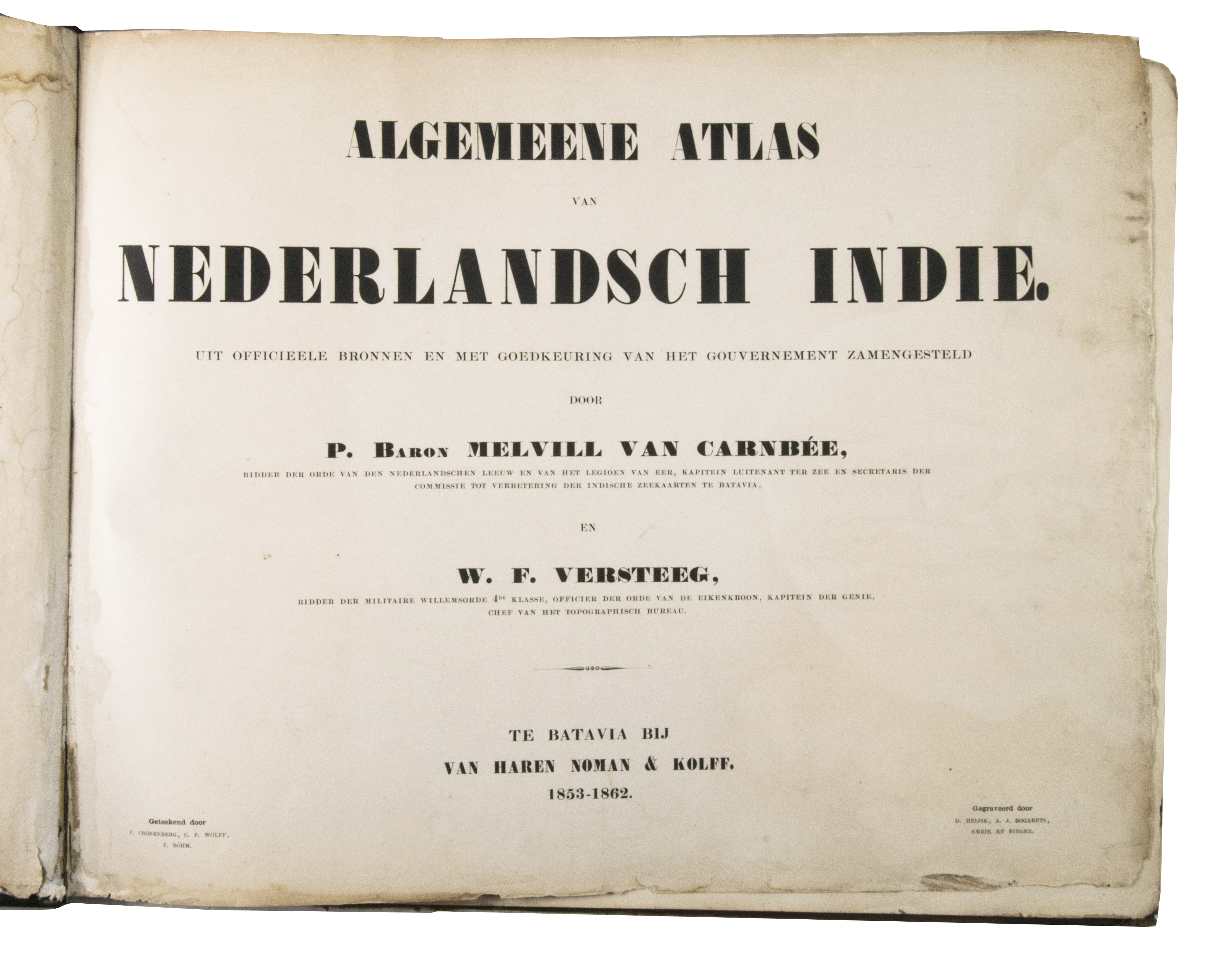
Algemeene atlas van Nederlandsch Indië. Uit officieele bronnen en met goedkeuring van het gouvernement zamengesteld.
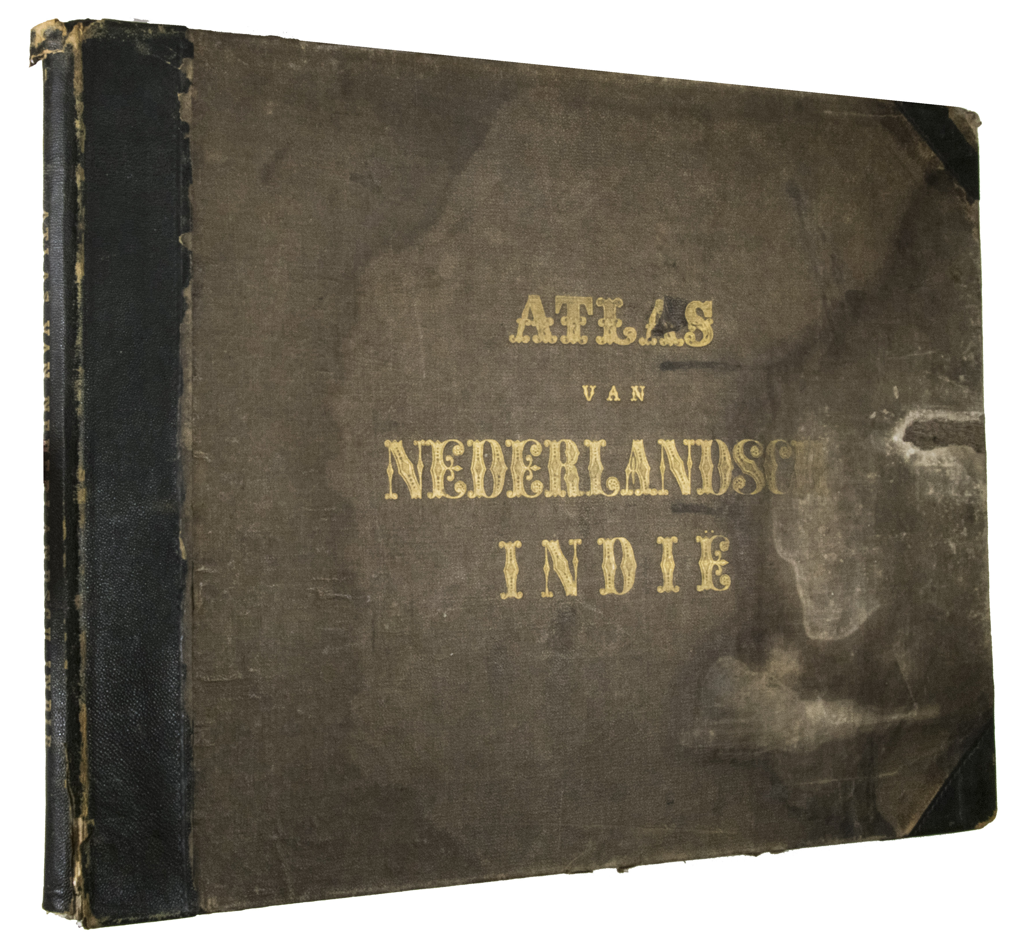
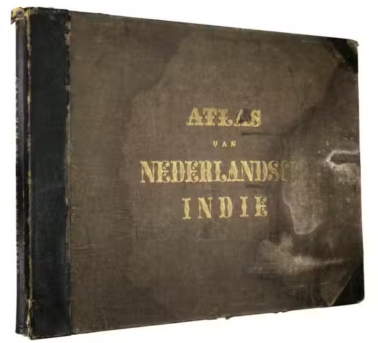
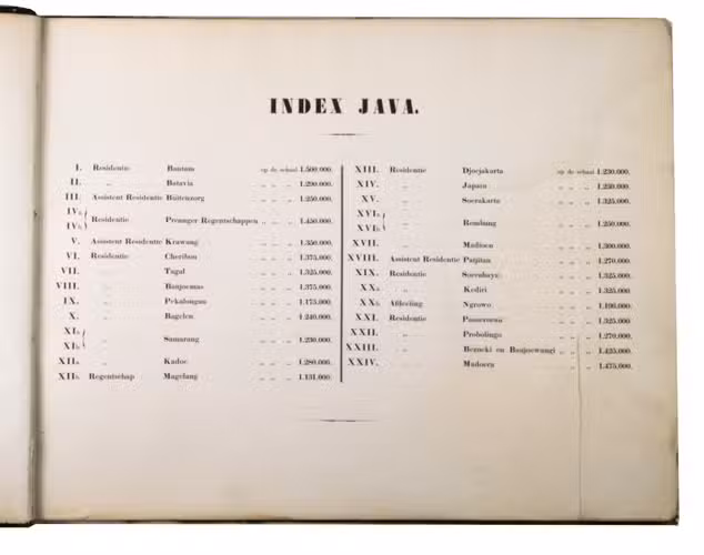
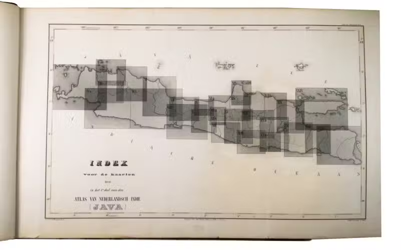
Batavia (Jakarta, Indonesia), Van Haren Noman & Kolff, 1853-1862. Oblong folio (39.3 x 50.5 cm). With 60 lithographed maps, coloured in outline, and 3 lithographed index maps. Contemporary blind-tooled half black morocco. [68] ll.
€ 1,850
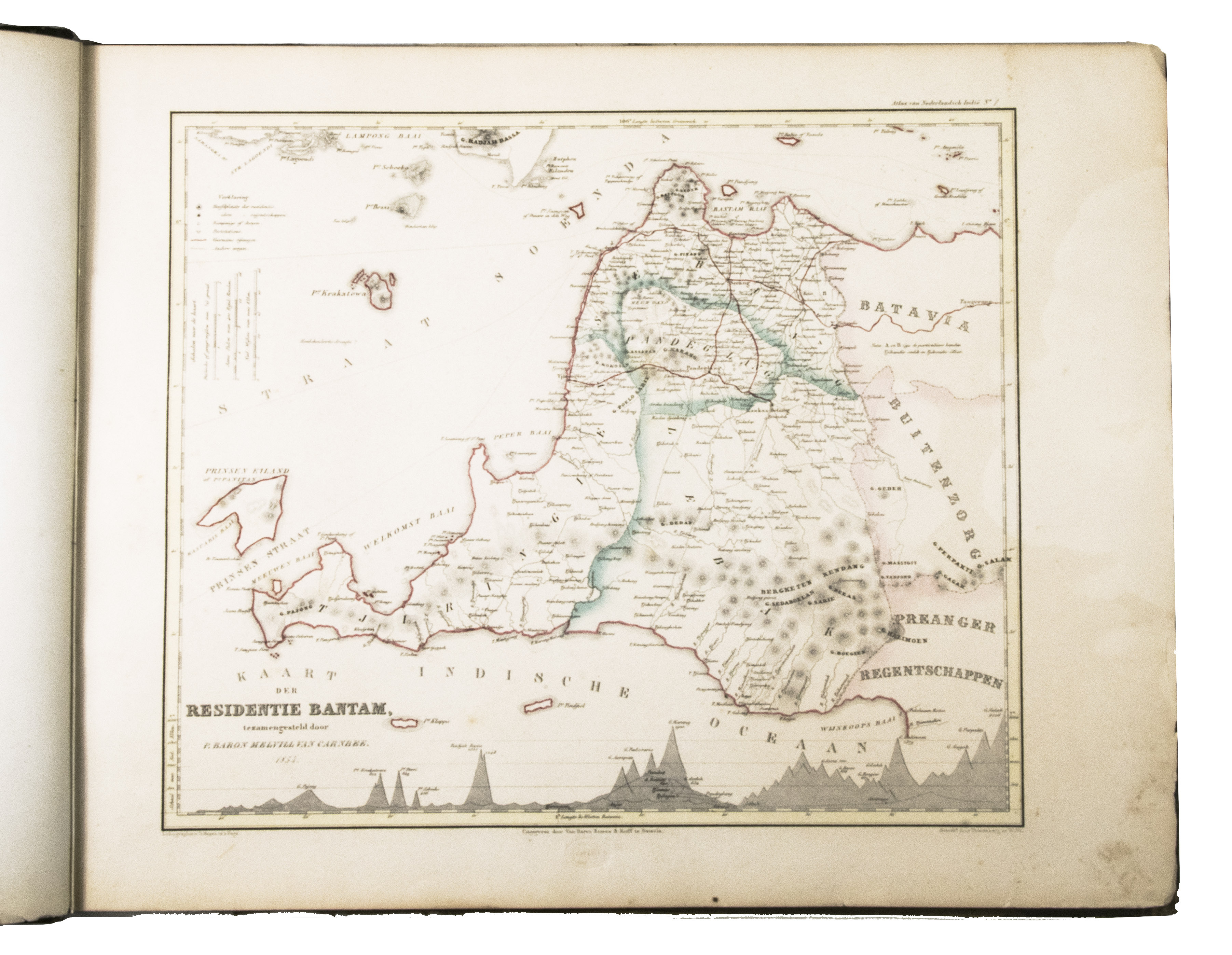
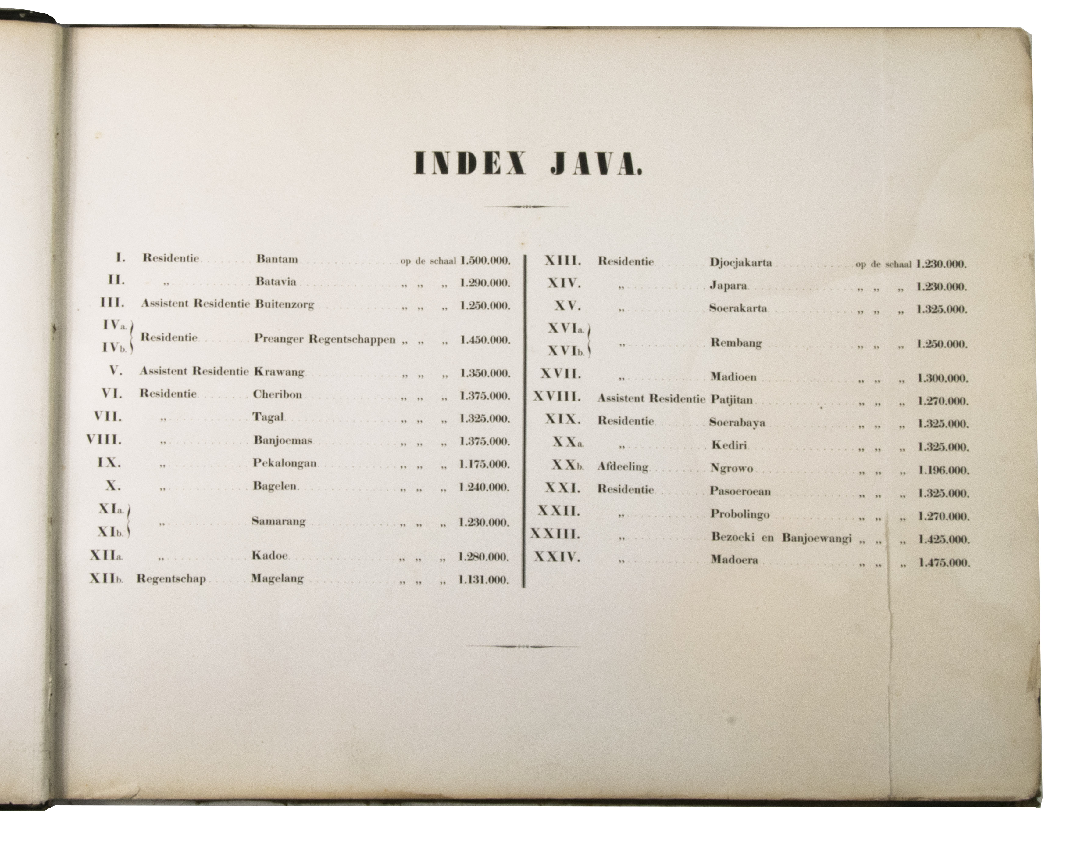
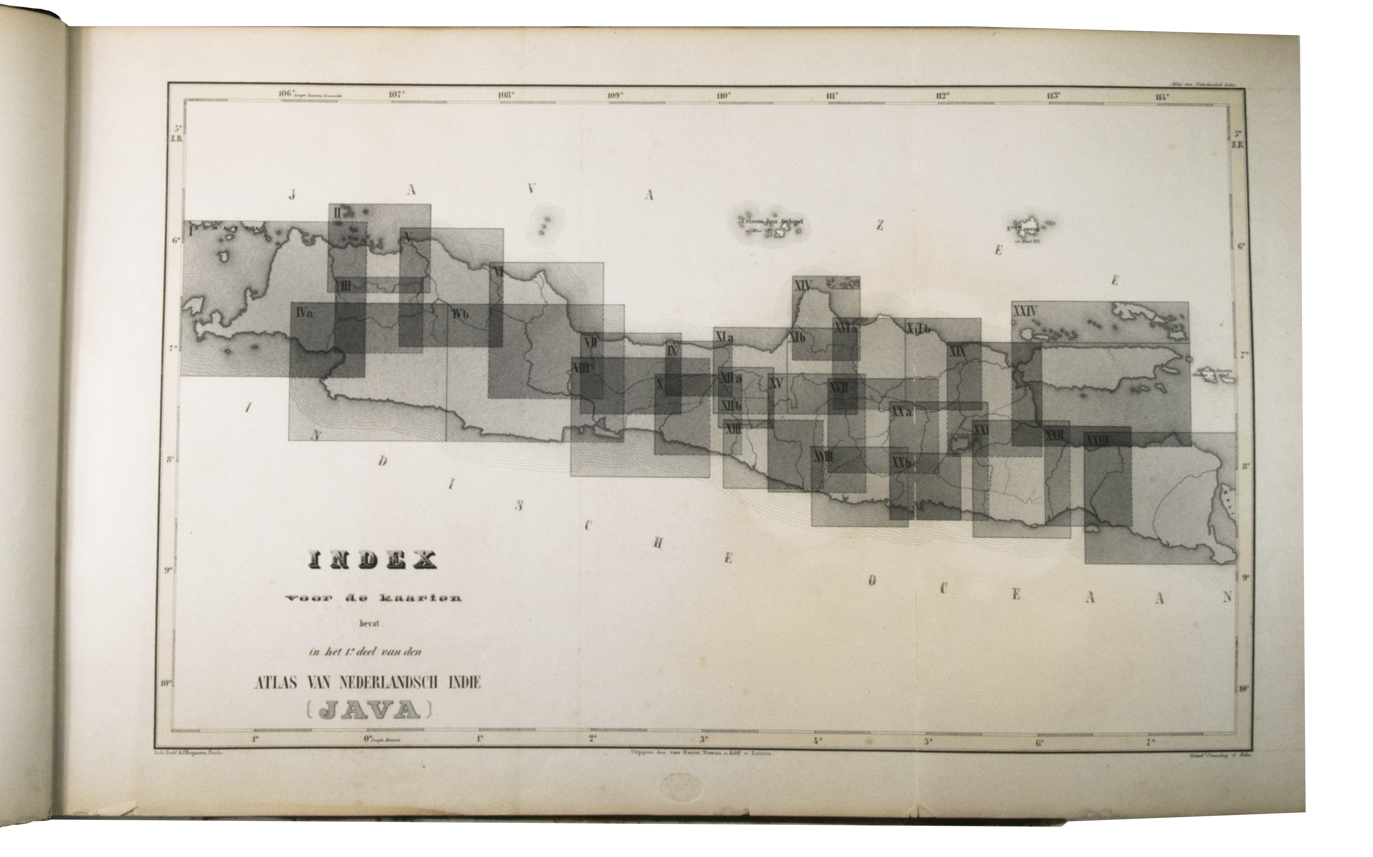
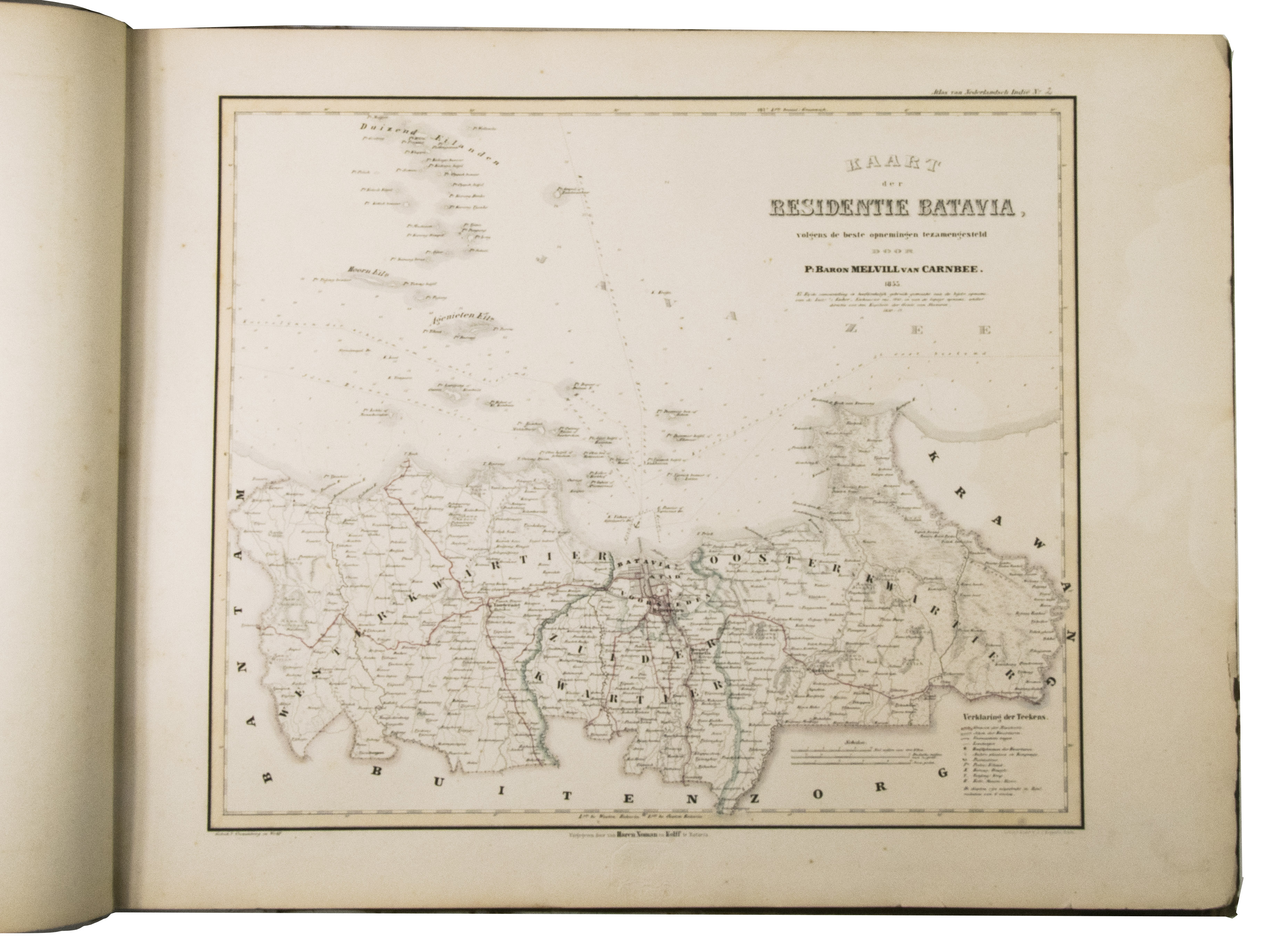
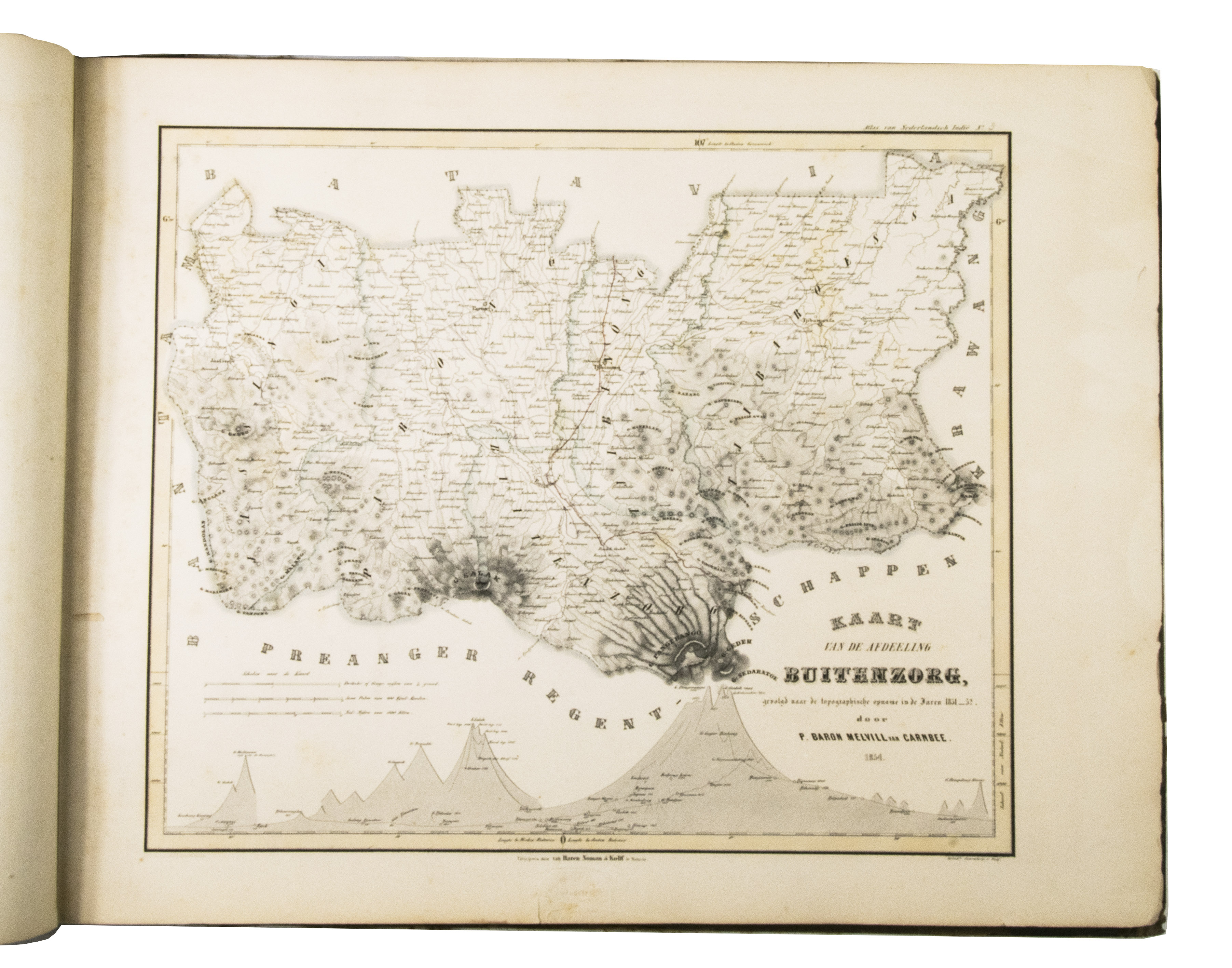
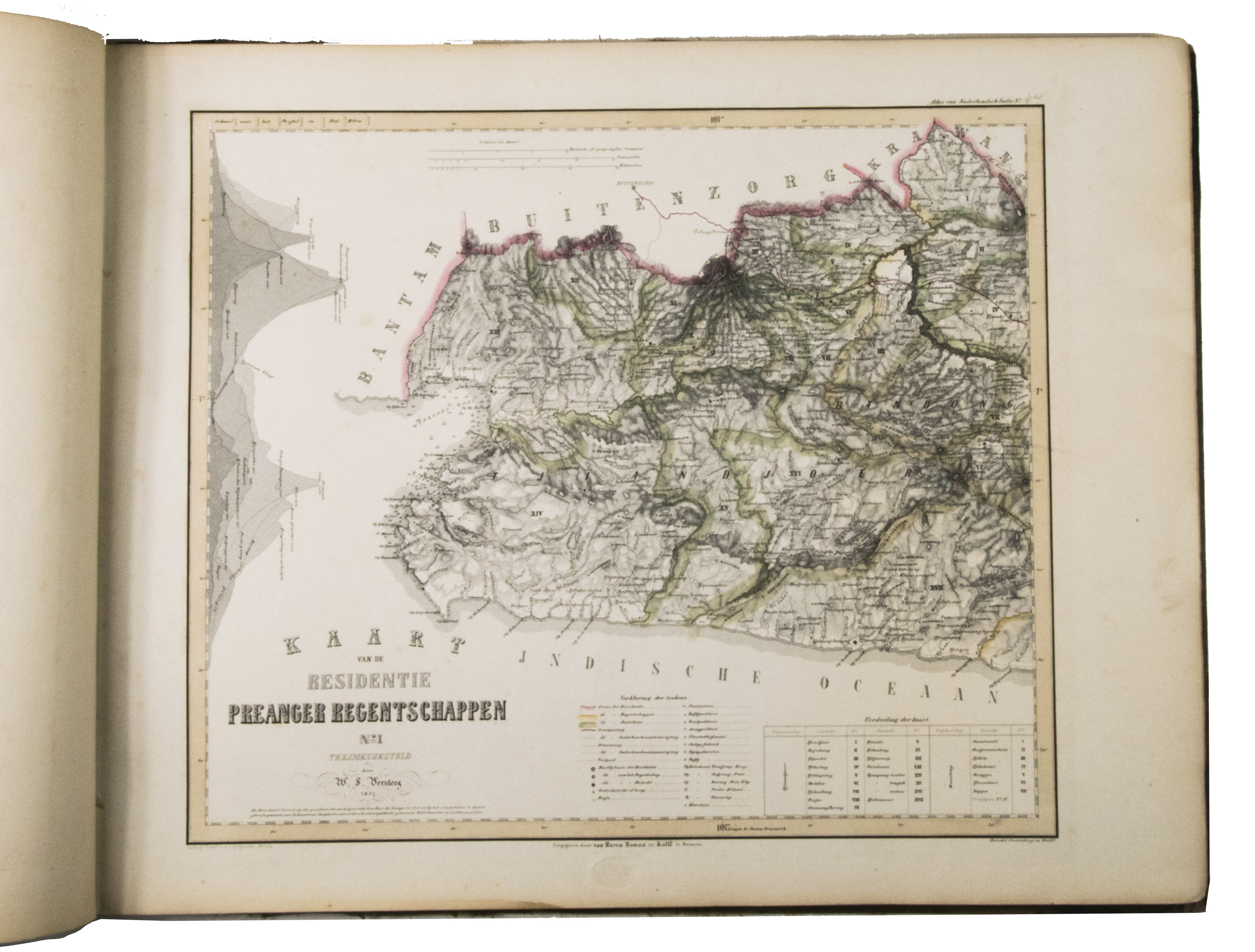
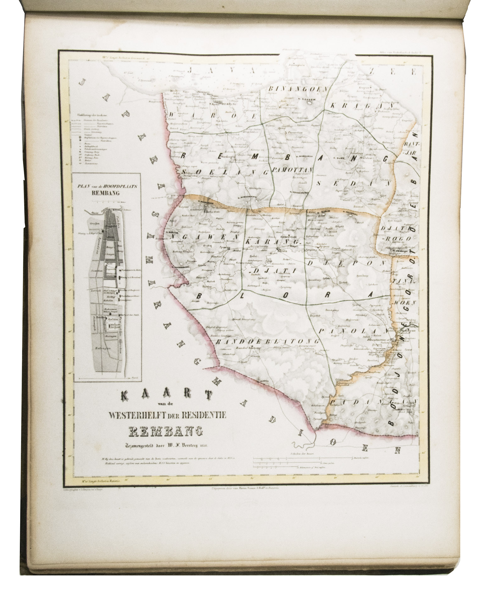
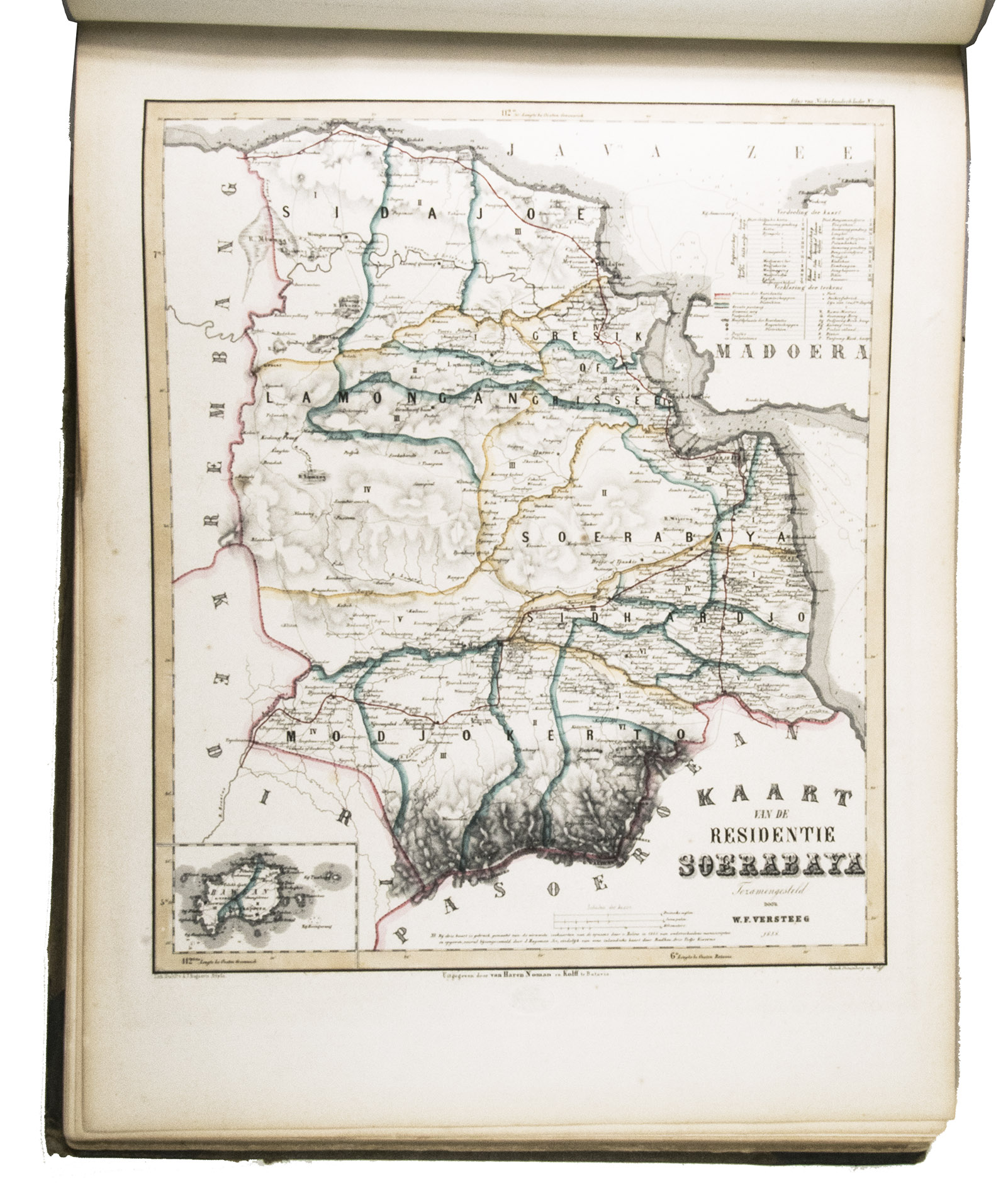
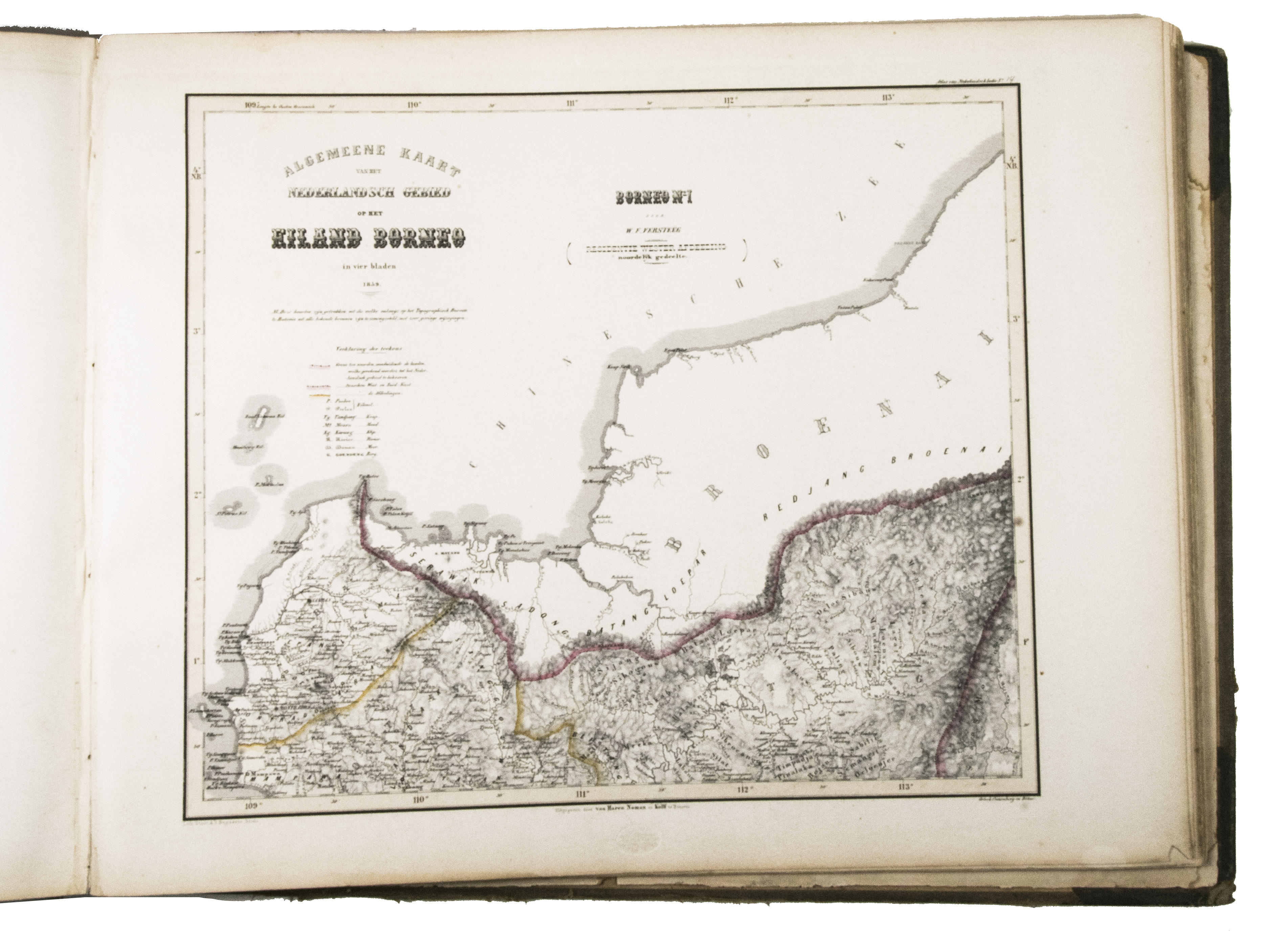
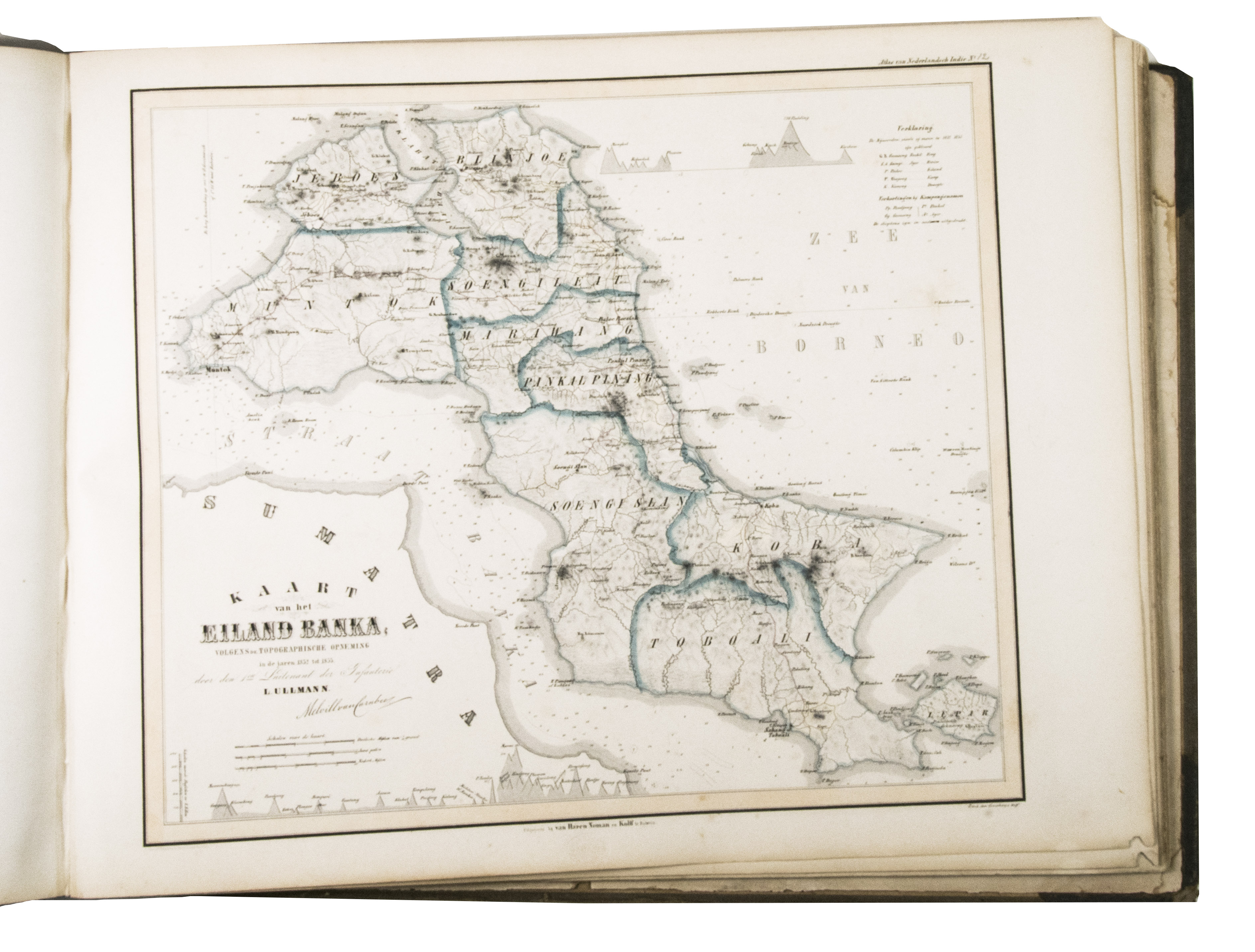
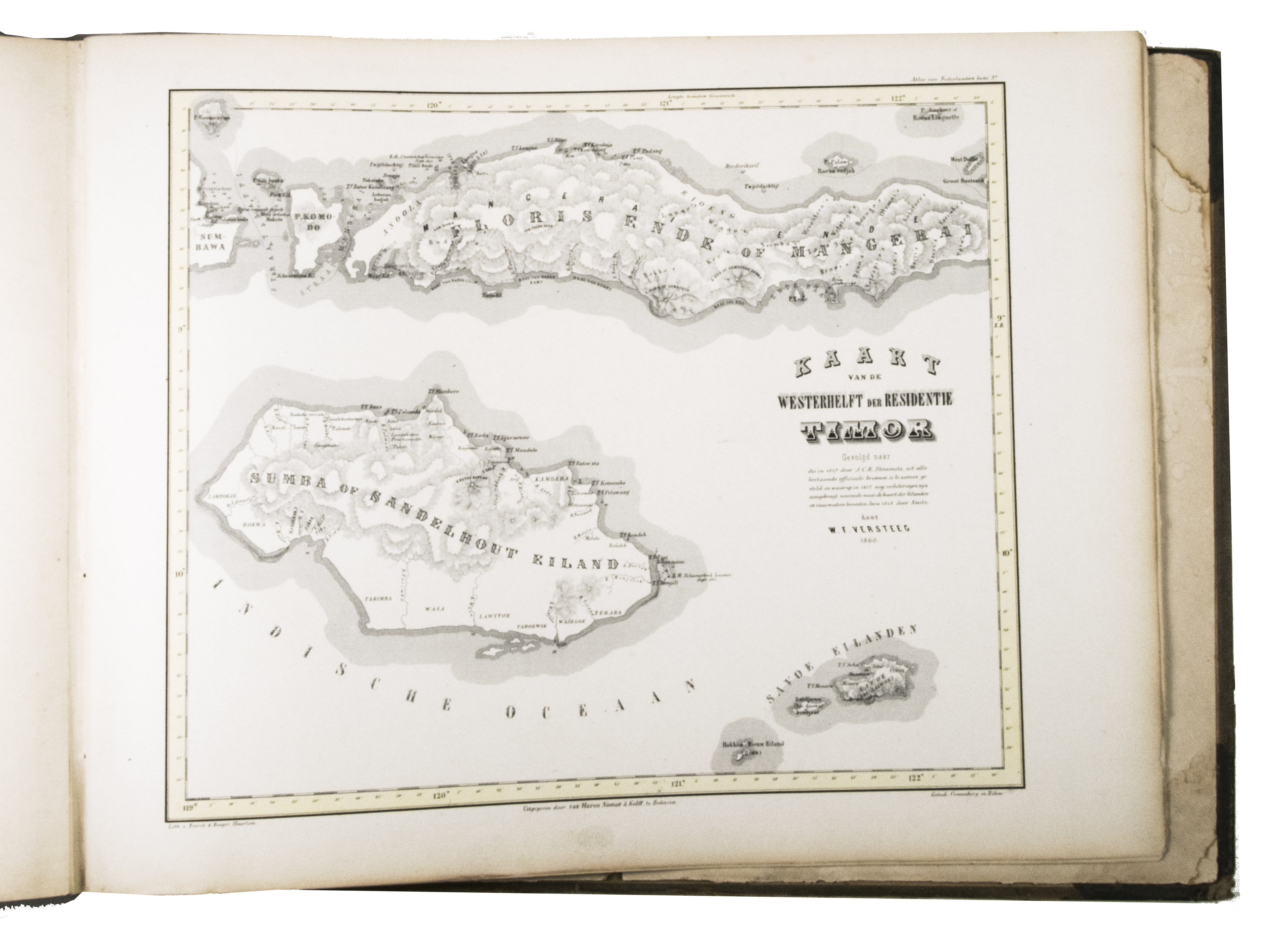
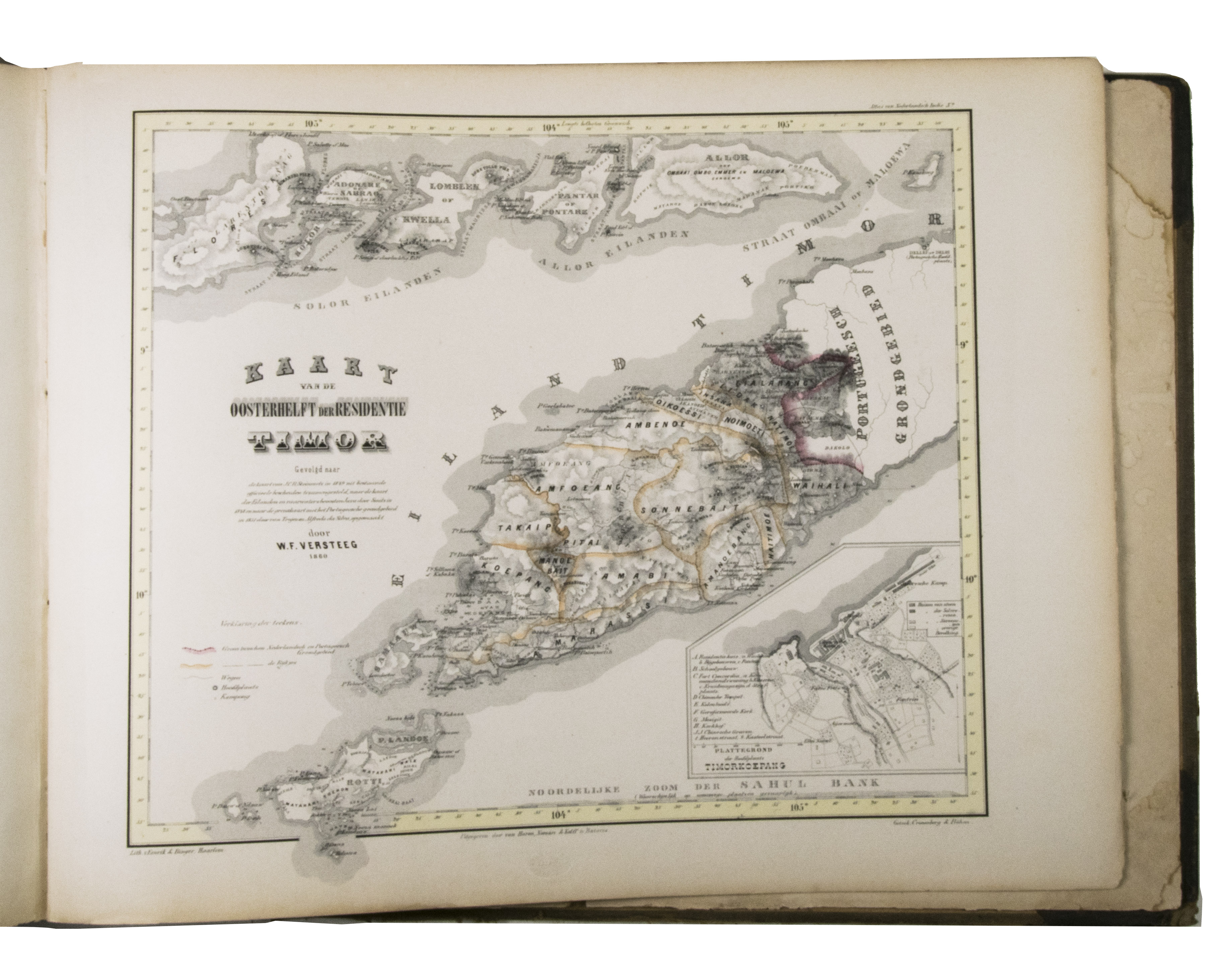
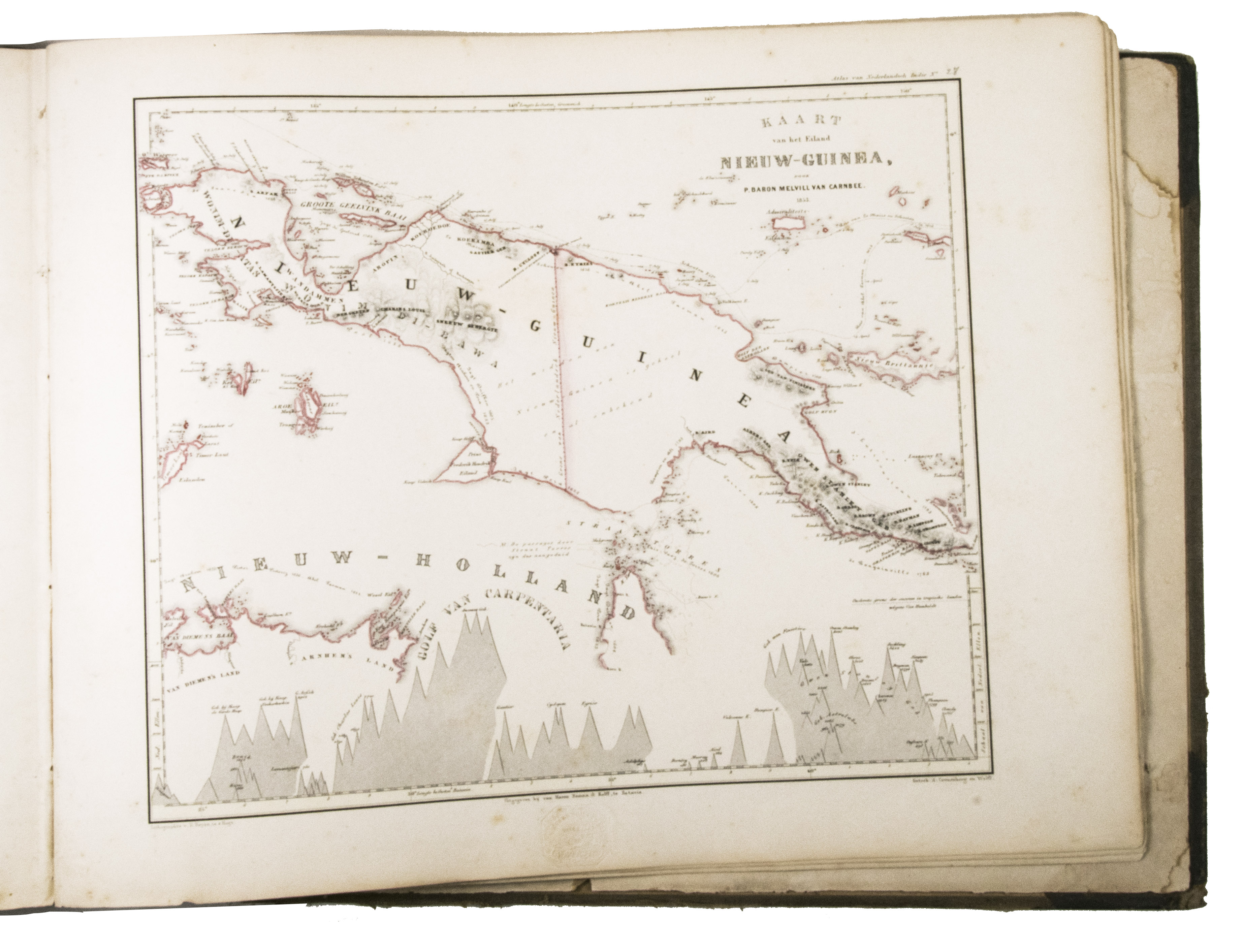
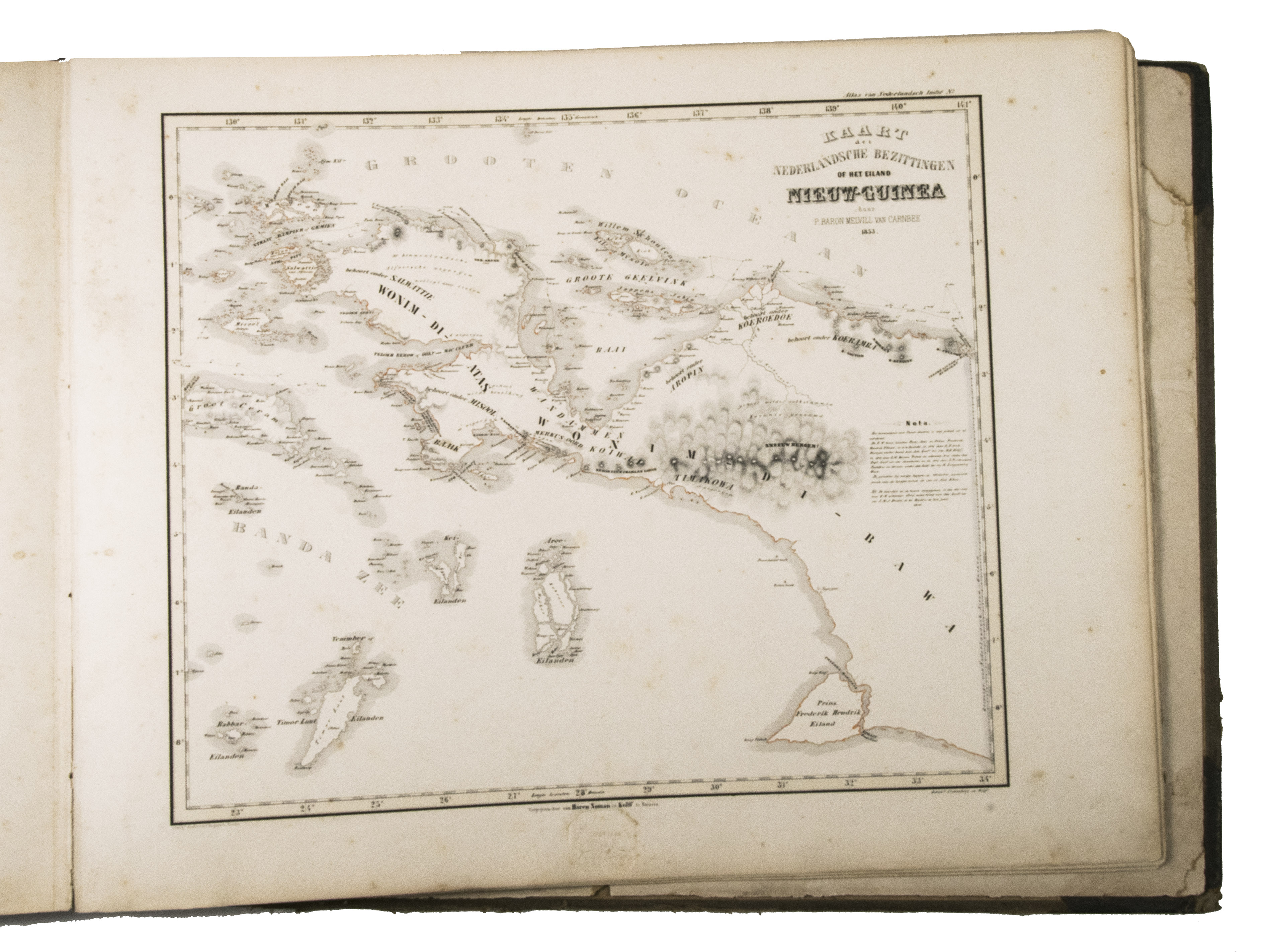
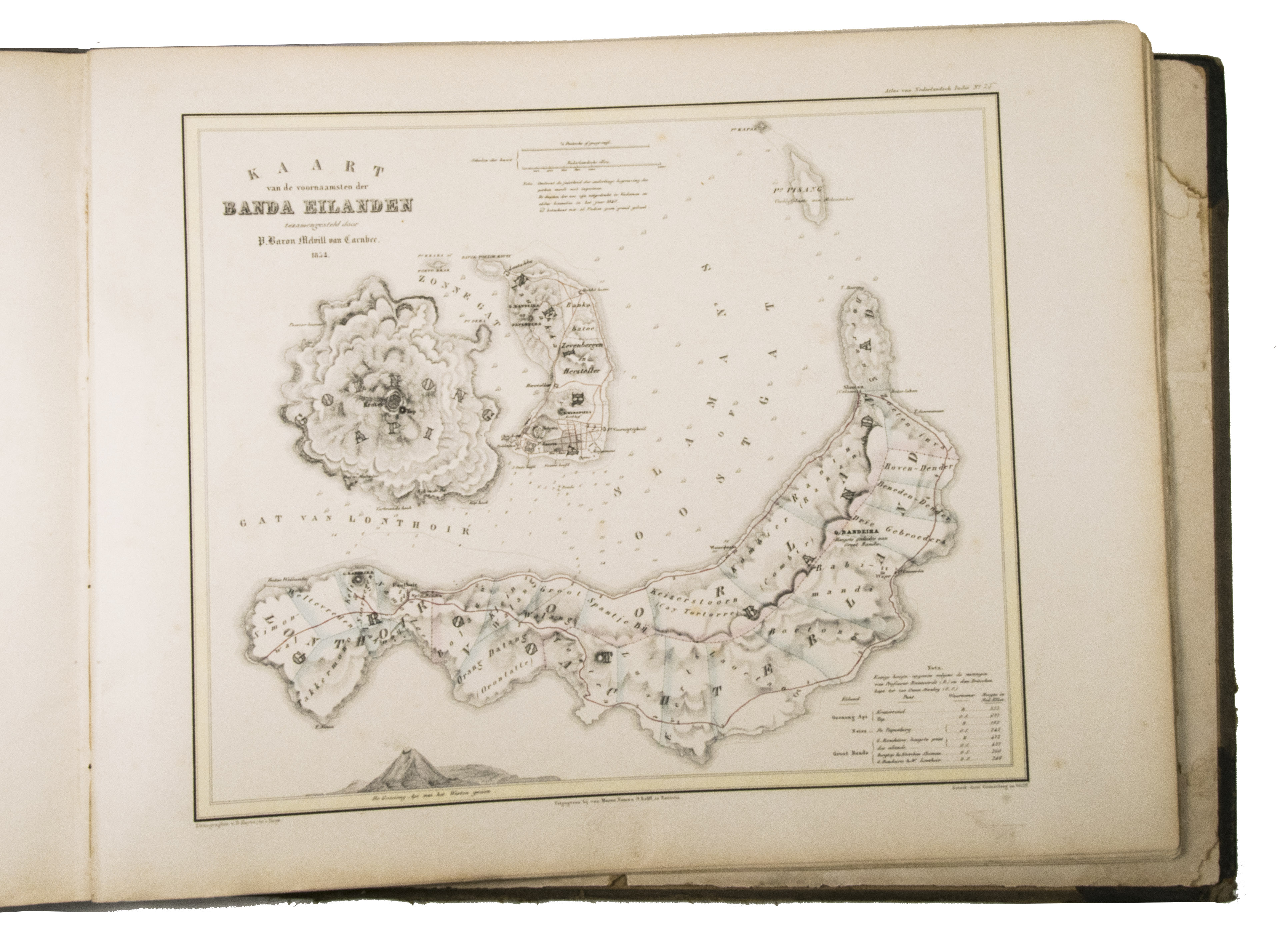
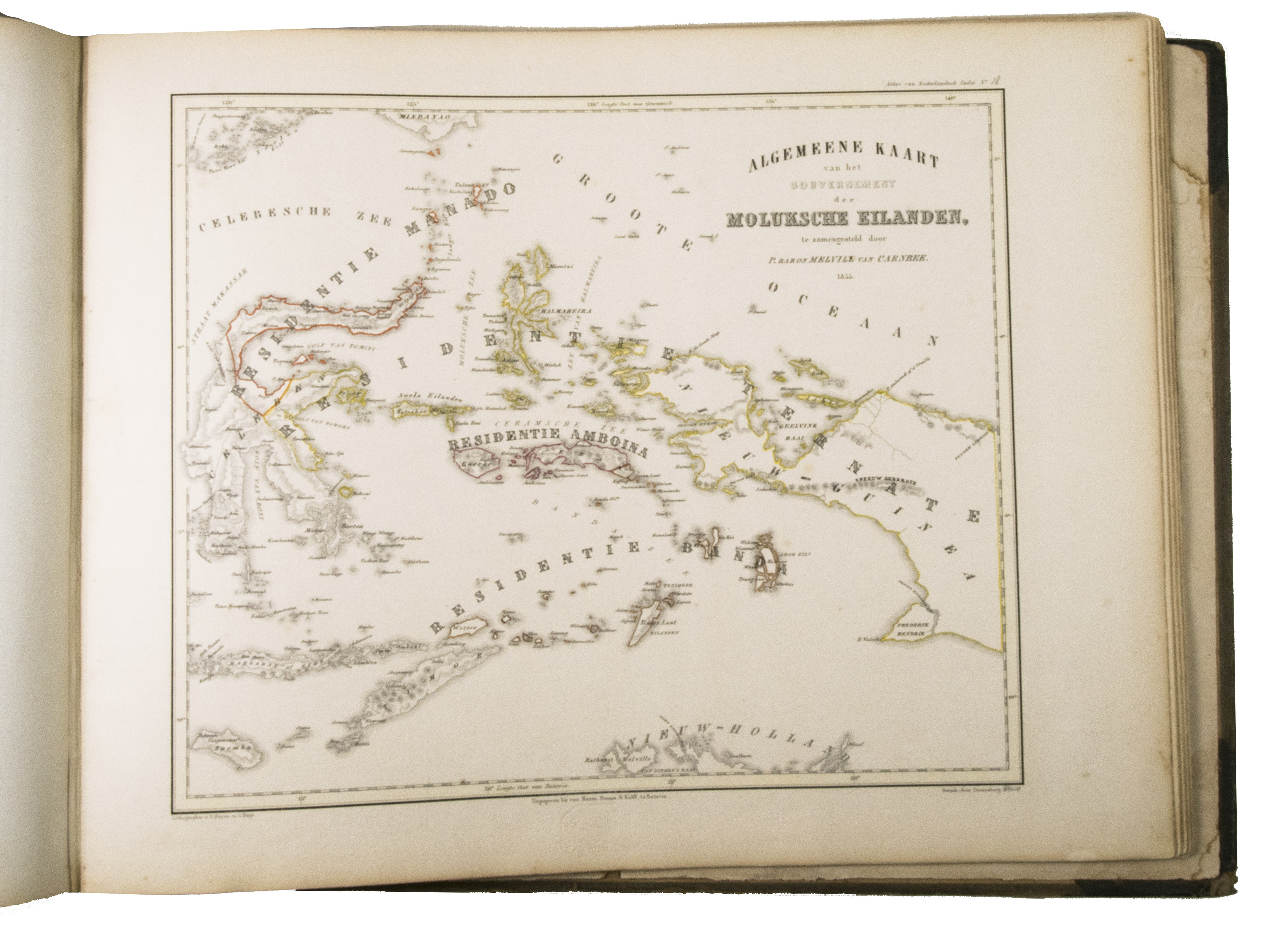
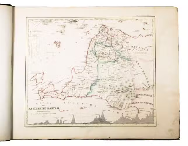
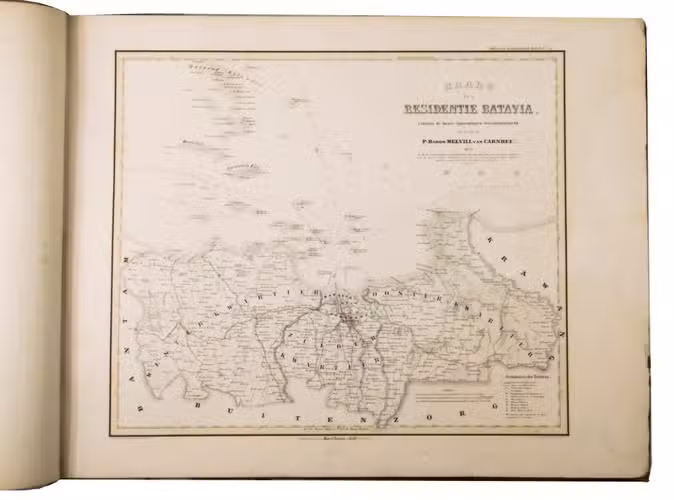
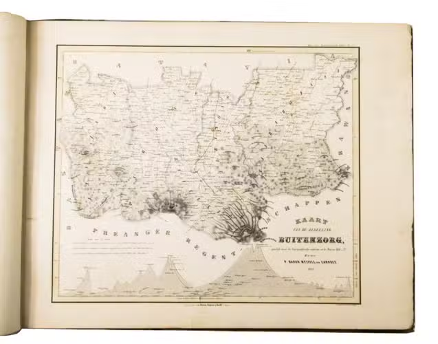
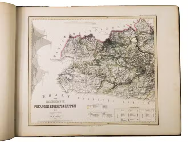
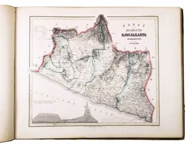
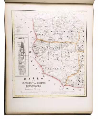
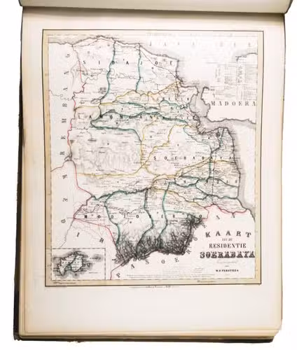
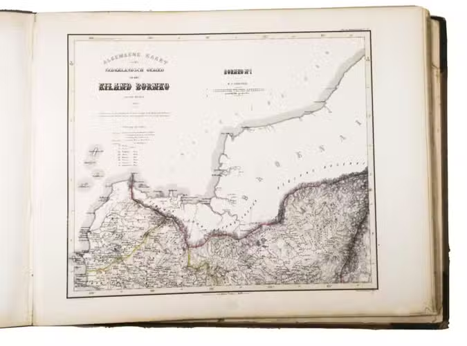
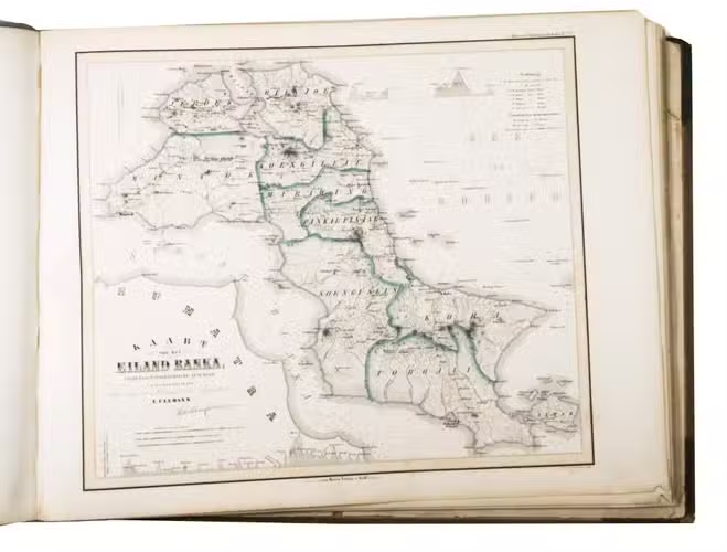
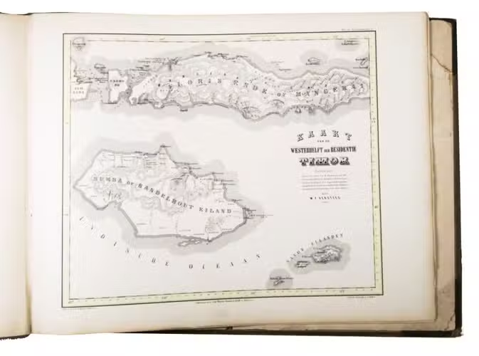
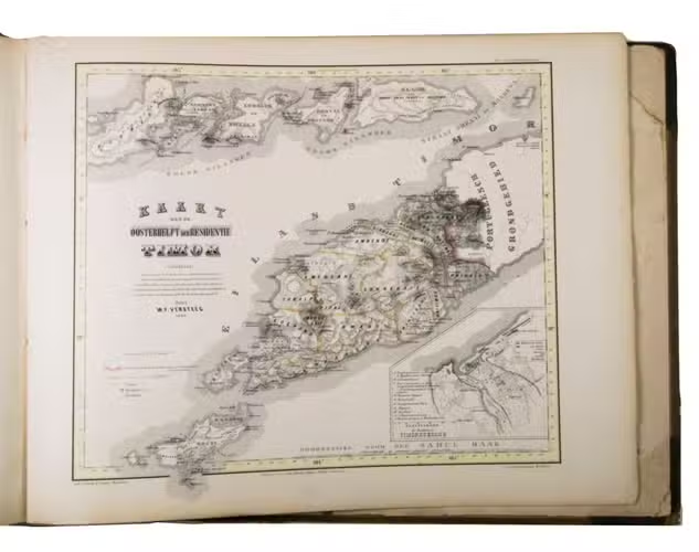
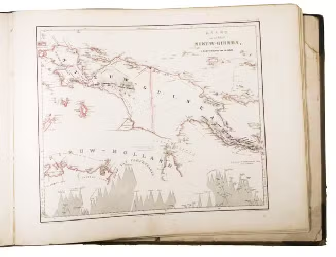
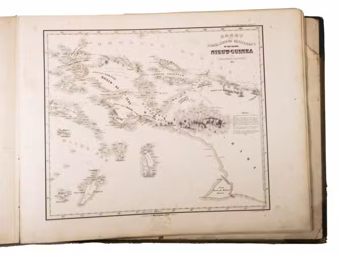
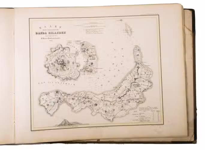
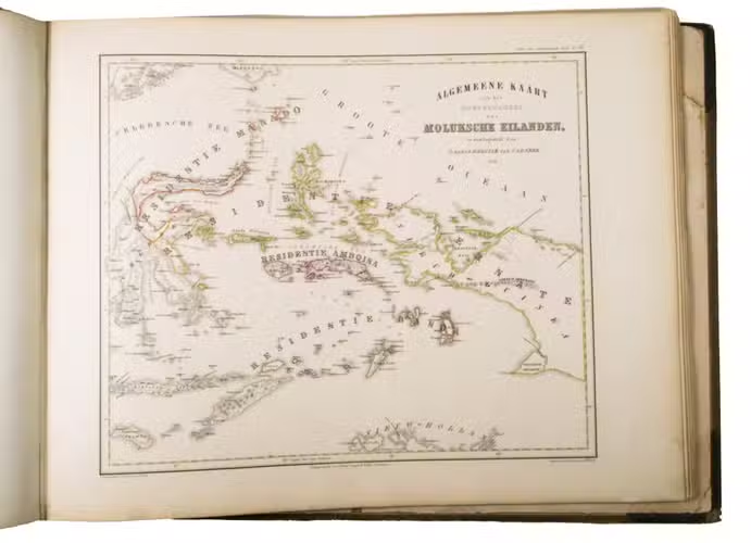
First edition of an early, extensive atlas of the Dutch East Indies, printed in Batavia (present-day Jakarta). The work includes detailed maps of Java, Sumatra, Borneo, Sulawesi, the Maluku Islands, Ambon, the Banda Islands, Bali, Timor, Sumba, and parts of New Guinea. The large maps, hand-coloured in outline, not only show the coastlines, but also the interior of the islands in great detail, and was the most accurate cartographic work of the region of its time.
The Dutch had been charting East and Southeast Asia since 1600, primarily for use of the Dutch East India Company (VOC). These charts grew increasingly more detailed and accurate over the years in order to stay ahead of the competition. When the VOC was dissolved in 1800, foreign invasion of the Dutch East Indies became a realistic possibility, so the Dutch government initiated the building of fortifications and other infrastructure to counter that threat. Mapping of the region also accelerated as a result. The first atlas of the Dutch colonies, Atlas der Overzeesche bezittingen, was published in 1817, but was not considered good enough. King William I of the Netherlands (1772-1843) then commissioned G.F. baron von Derfelden van Hinderstein (1783-1857) to produce a new map of his eastern possessions, Algemeene kaart van Nederlandsch Oostindie, which was published in 8 sheets in 1839-1855. This map was also not quite good enough, however, as Derfelden lived in the Netherlands and therefore did not have access to the best materials.
The edges and corners of the boards are scuffed, the spine ends are torn, the boards are stained. Each map with a blind stamp of the publisher, the endpapers are browned, the first index leaf is partly torn at the fold, the edges of the first and last few leaves are somewhat frayed. Otherwise in good condition. Koeman II, Mel 1. (pp. 274-76); NNBW I, 1323-24; cf. Ormeling, F., Colonial cartography of the Netherlands East Indies, 1816-1942; not in Rouffaer & Muller.
Related Subjects: