SEUTTER, Matthäus.
XVII provinciae Belgii sive Germaniae inferioris.
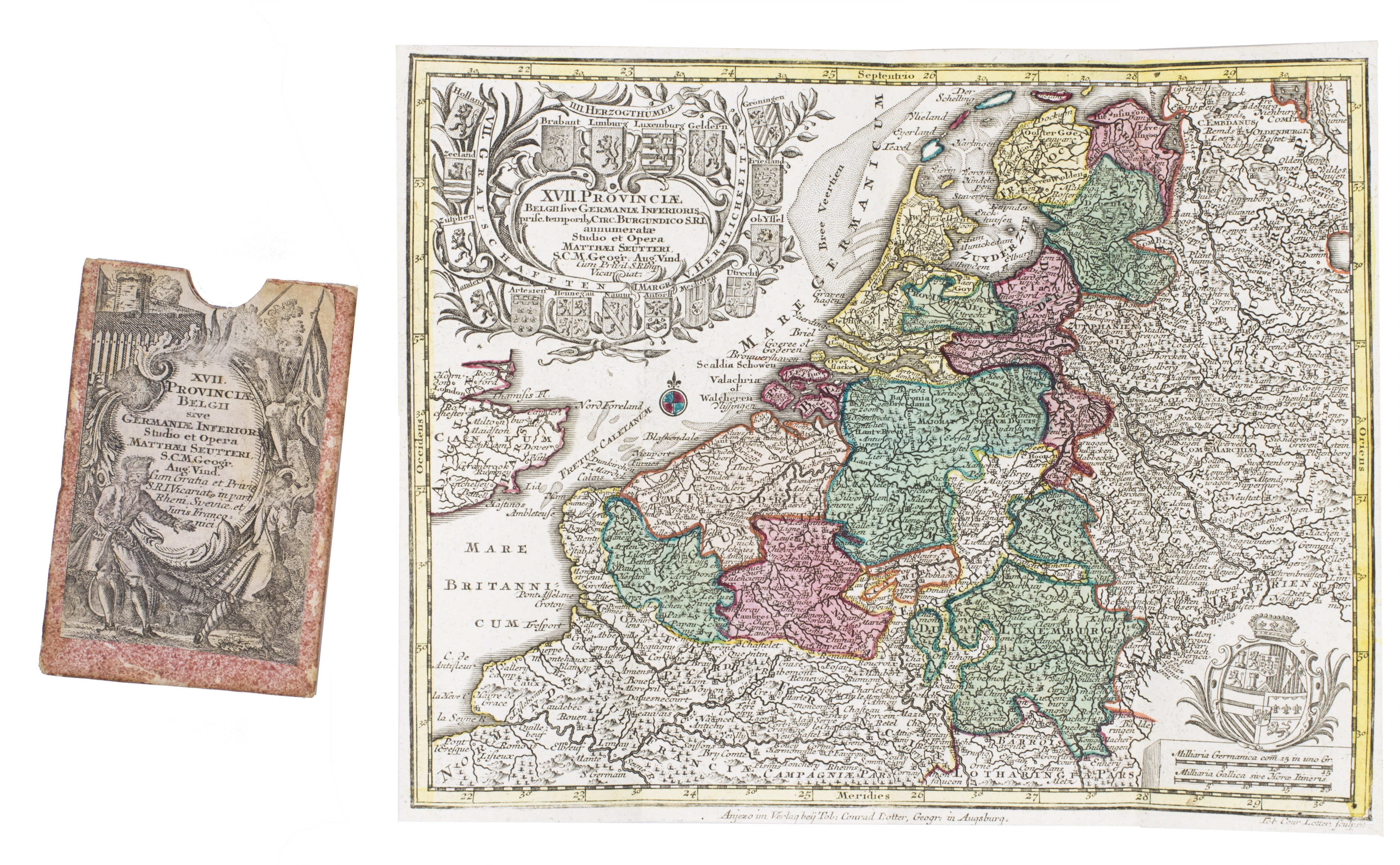
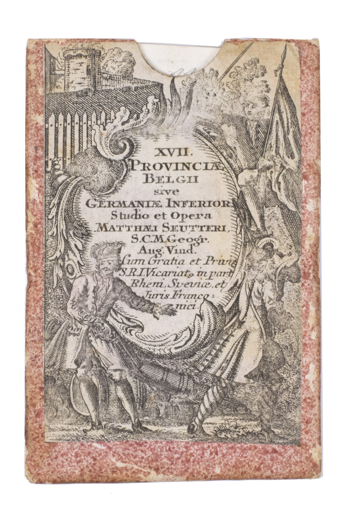
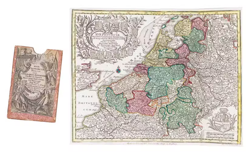
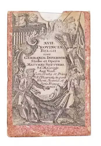
Augsburg, Tobias Conrad Lotter, [1762-1777]. Ca. 20.5 x 26.3 cm. With a hand coloured engraved map. The map is folded and housed in a contemporary sprinkled paper case, with an engraved title label mounted on the front.
€ 350
Decorative hand-coloured map of the Seventeen Provinces, depicting the Habsburg Netherlands as they existed in the early seventeenth century, encompassing present-day Luxembourg, Belgium and the Netherlands, together with parts of northern France. Originally published by the prominent Augsburg mapmaker Matthäus Seutter (1678-1757) for his Atlas novus (1730), the present map was later issued by his successor Tobias Conrad Lotter (1717-1777).
Seutter was one of the leading German map publishers of the eighteenth century. After training as an engraver under Johann Baptist Homann in Nuremberg, he established his own publishing house in Augsburg in 1710 and was appointed Imperial Geographer in 1727. His prolific workshop produced more than 500 maps, as well as several important atlases, including the Atlas minor of 1744. After Seutters death, the business was continued by his son Albrecht Carl, his son-in-law Tobias Conrad Lotter and Johann Michael Probst. After Carls death in 1762, the stock and copperplates were divided between Lotter and Probst, with Lotter continuing to issue many of Seutters maps under his own imprint.
Seutter's maps are notoriously difficult to date because of the numerous undated states. The present map includes an elaborate cartouche in the upper left, surrounded by the coats of arms of the individual provinces, while the lower right is decorated with the arms of Archduke Albert VII (1559-1621), sovereign of the Low Countries. The lower margin bears Lotter's imprint, identifying it as a later state. Other states are known without Lotter's imprint or with a different cartouche in the lower right. The case is slightly stained, but the map is in excellent condition. Cf. Van der Heijden, Oude kaarten der Nederlanden 1548-1794, map 252 (different state with different cartouche in the lower right); not in: Van der Heijden, Kaart en kunst van de zeventien provincien.
Related Subjects: