[GEOGRAPHY].
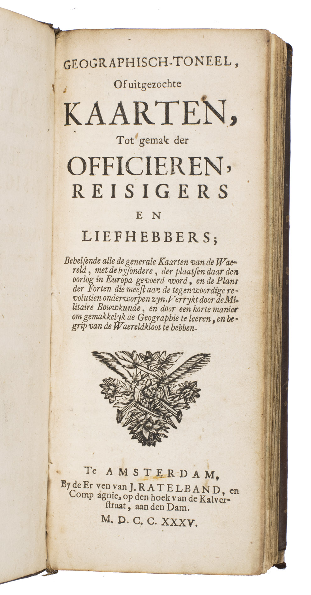
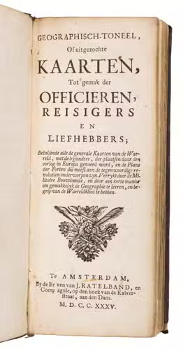
Geografisch-toneel, of uitgezochte kaarten, tot gemak der officieren, reizzigers en liefhebbers; behelsende alle de generale kaarten van de waereld, met de bysondere, der plaatsen daar den oorlog in Europa gevoerd word, en de plans der forten ... verrykt door de militaire bouwkunde, en door een korte manier om gemakkelyk de geographie te leeren en begrip van de waereldkloot te hebben.
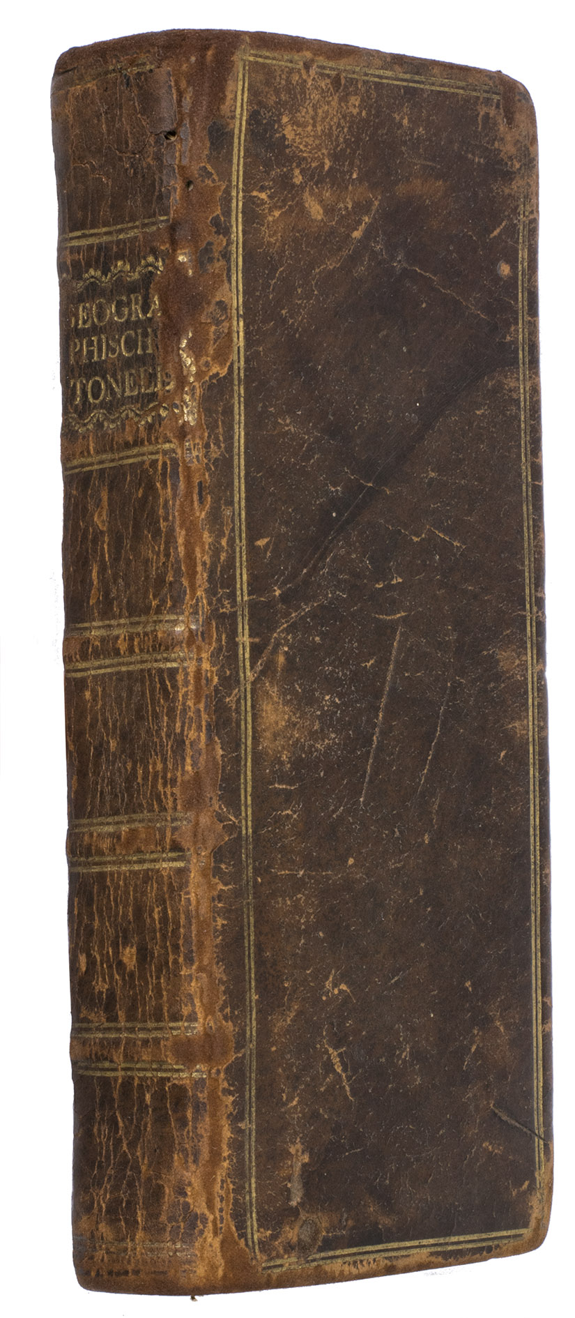
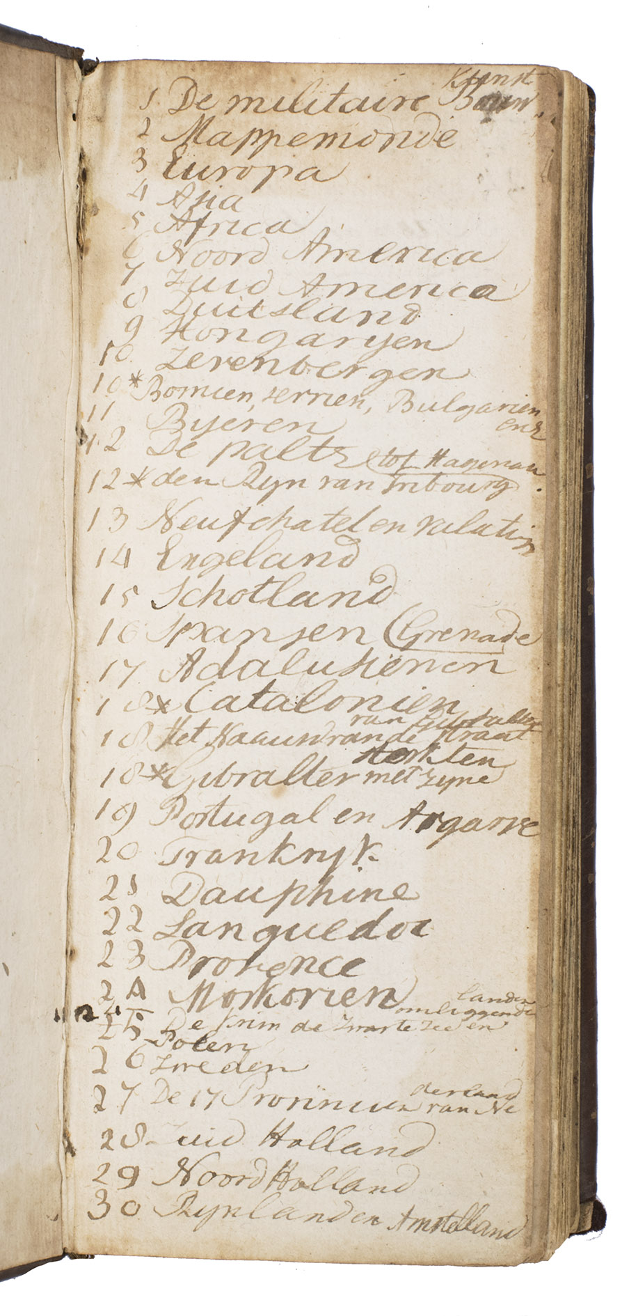
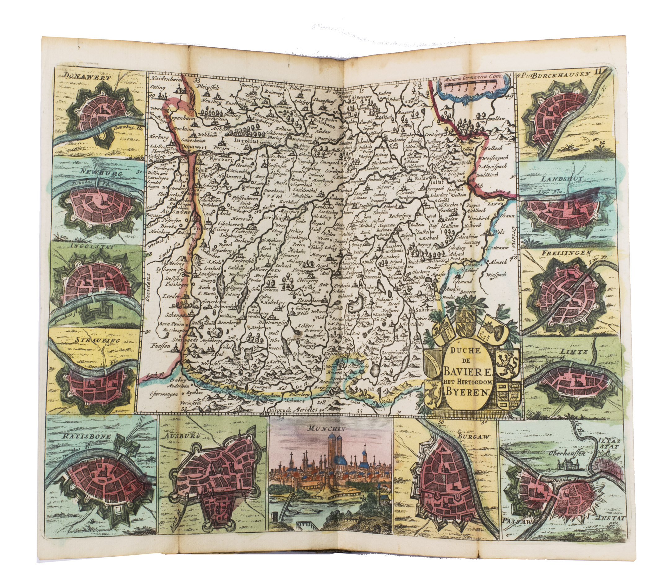
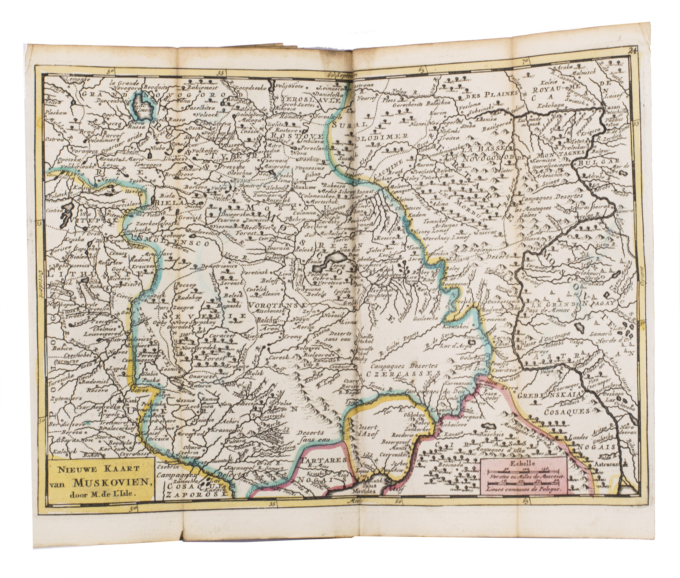
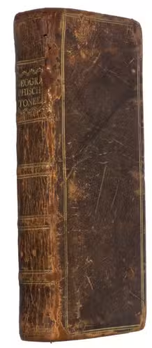
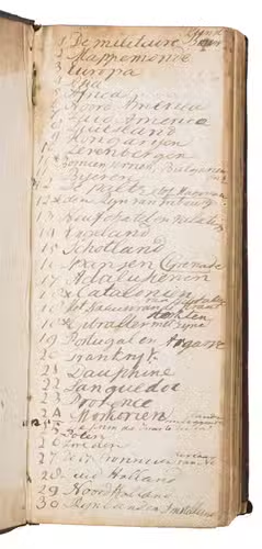
Amsterdam, Heirs of J. Ratelband & Comp., 1735. Upright oblong 8vo (20 x 8.5 cm). With a woodcut ornament on the title-page, 1 folding plate and 40 folding numbered engraved maps (ca. 18 x 26.5-42 cm), many of them surrounded with coat-of-arms, city plans and views, all coloured by hand, of all parts of the world. The plate and maps are all folded 3 or even 4 times to the upright oblong format of the atlas. Contemporary calf. Hand-written list of plates on the first fly-leaf, listing only 38 of the 40 maps. 16 pp.
€ 3,750
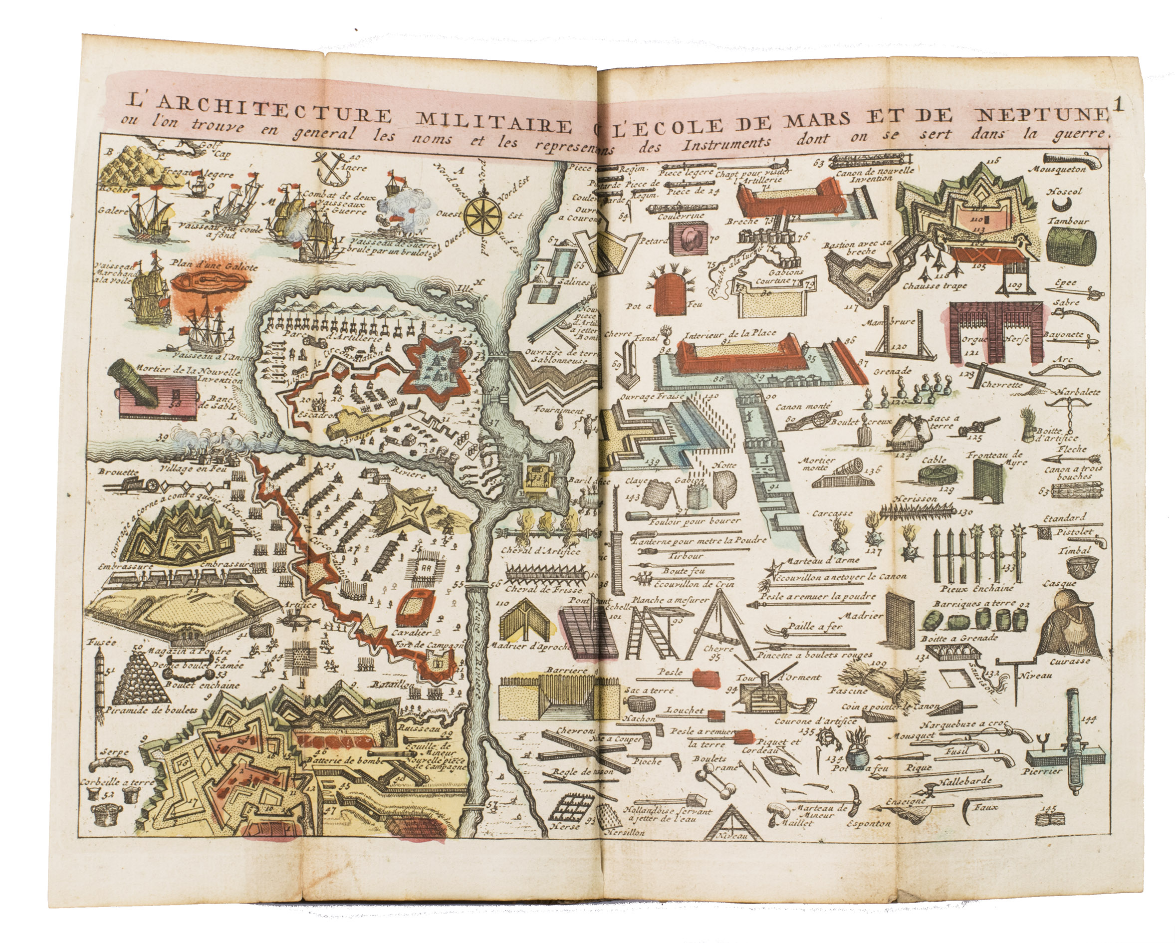
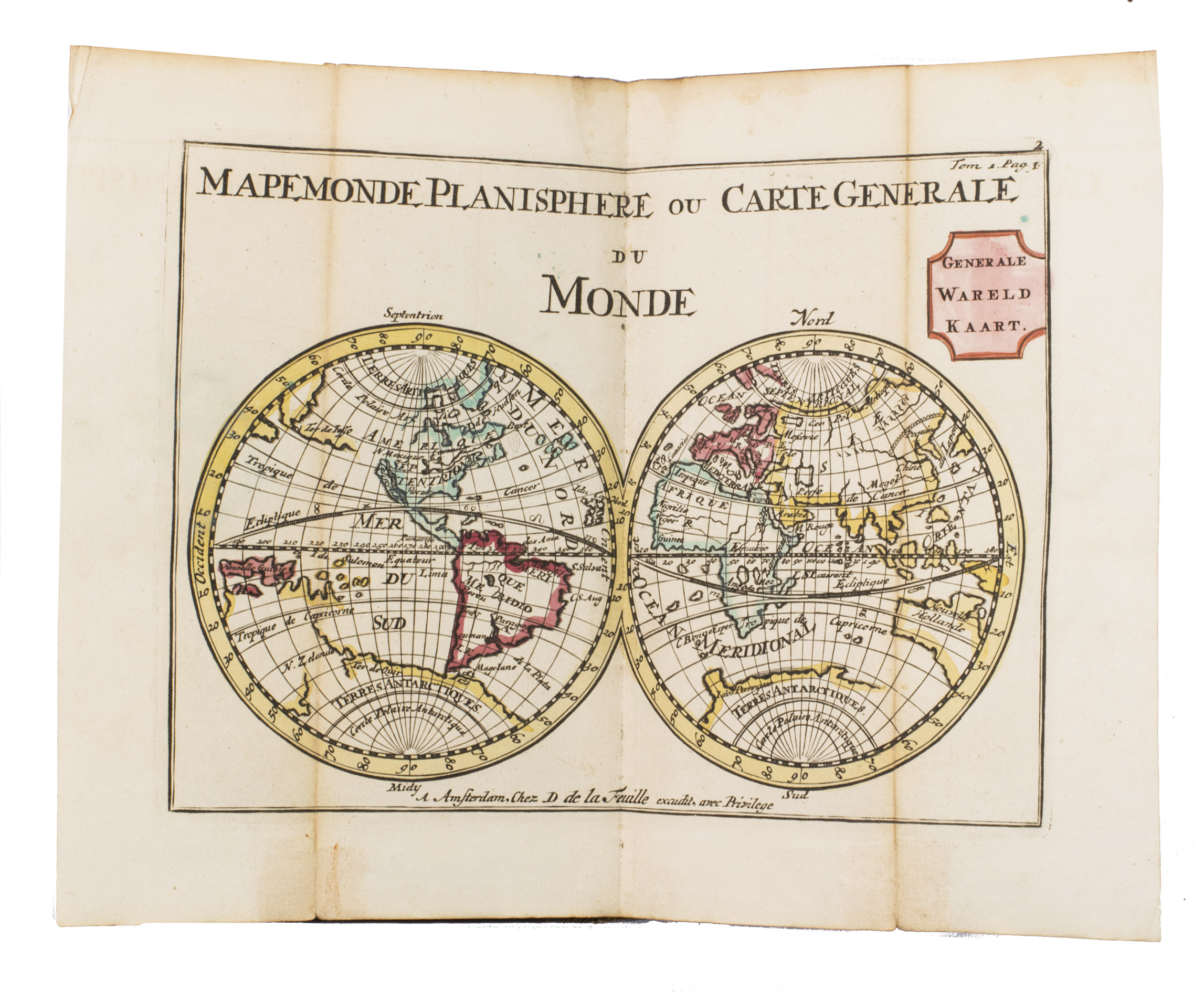
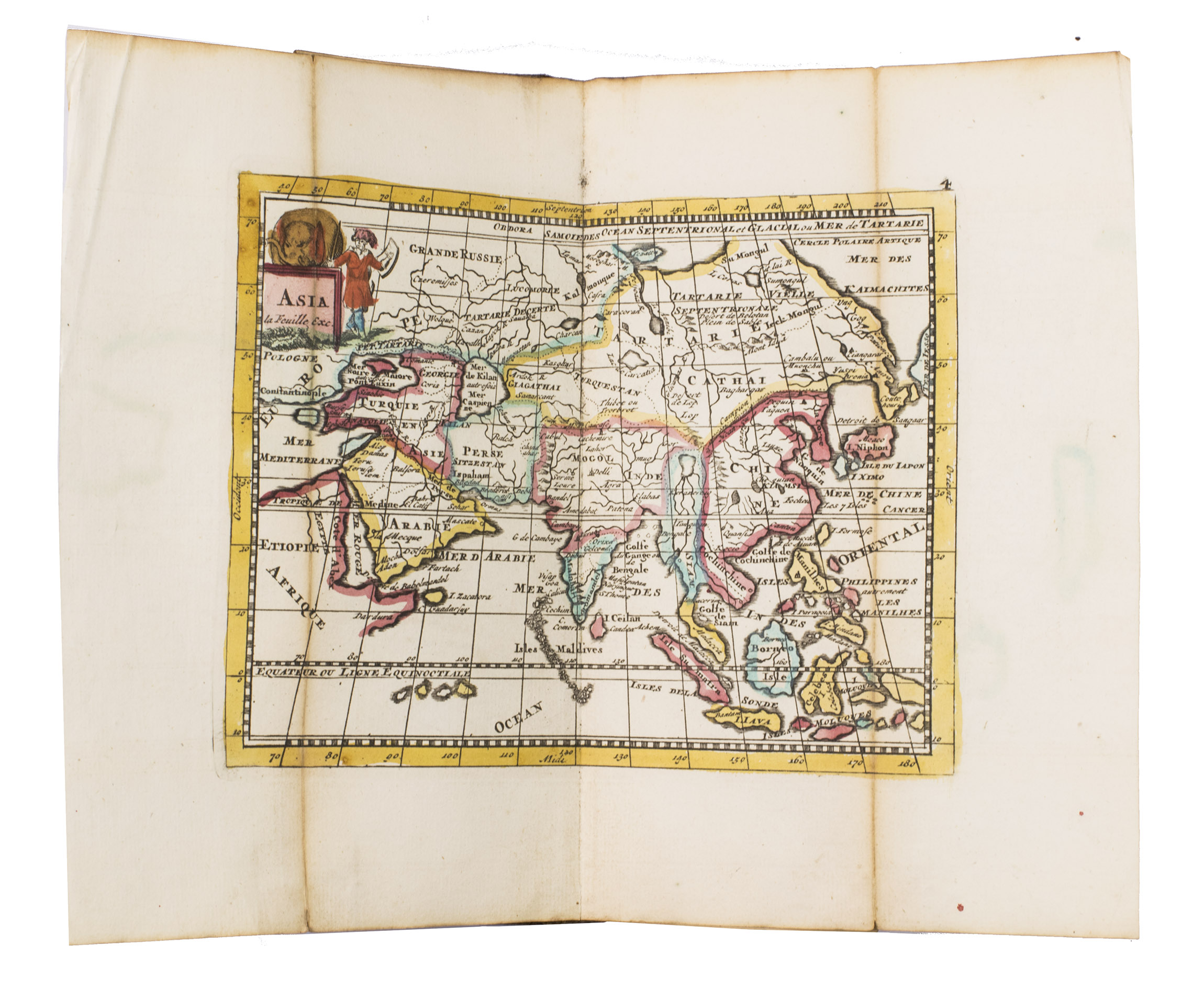
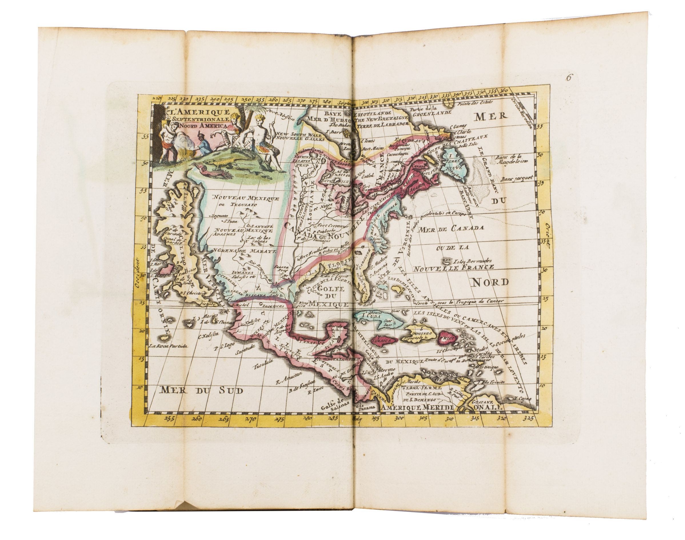
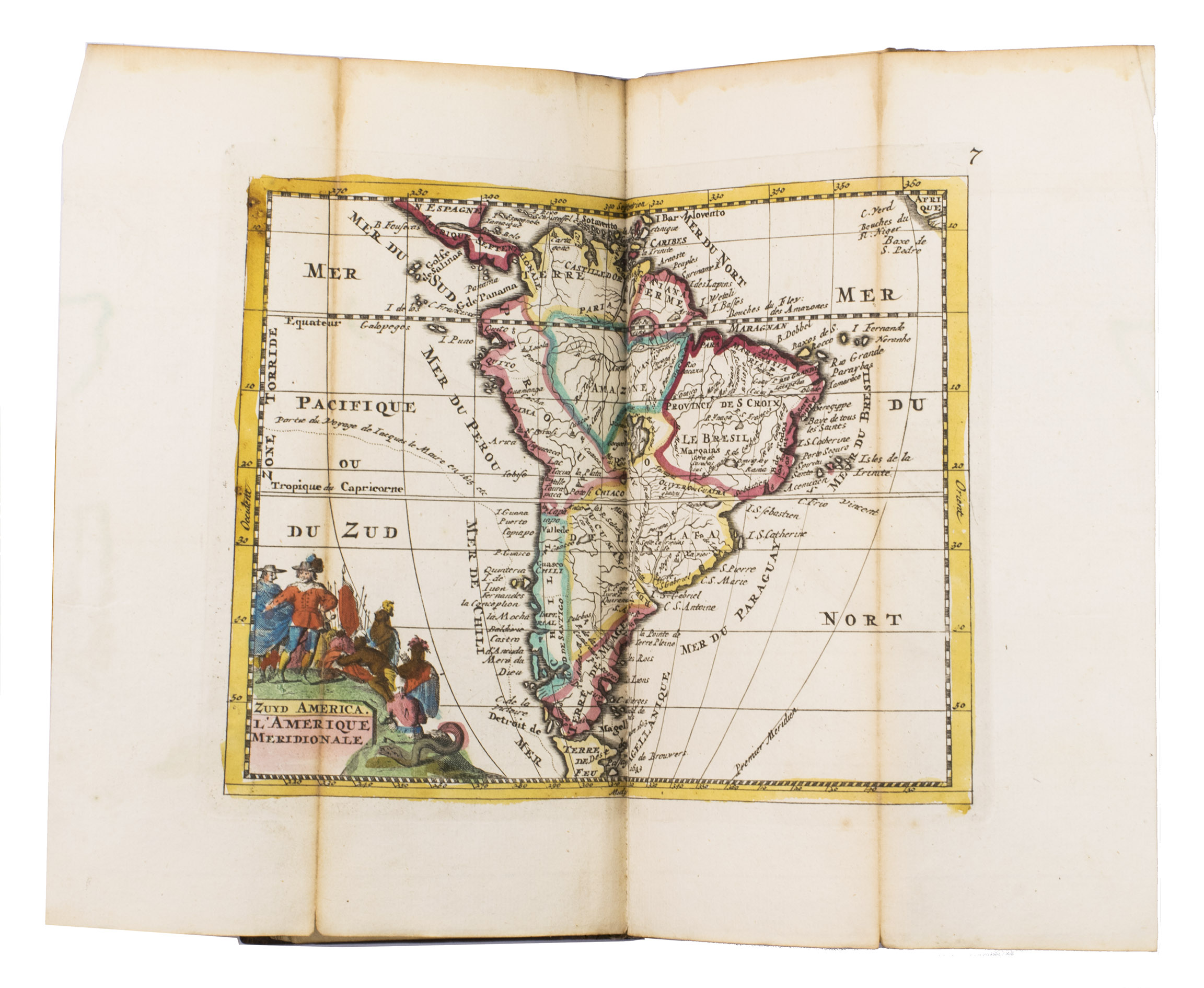
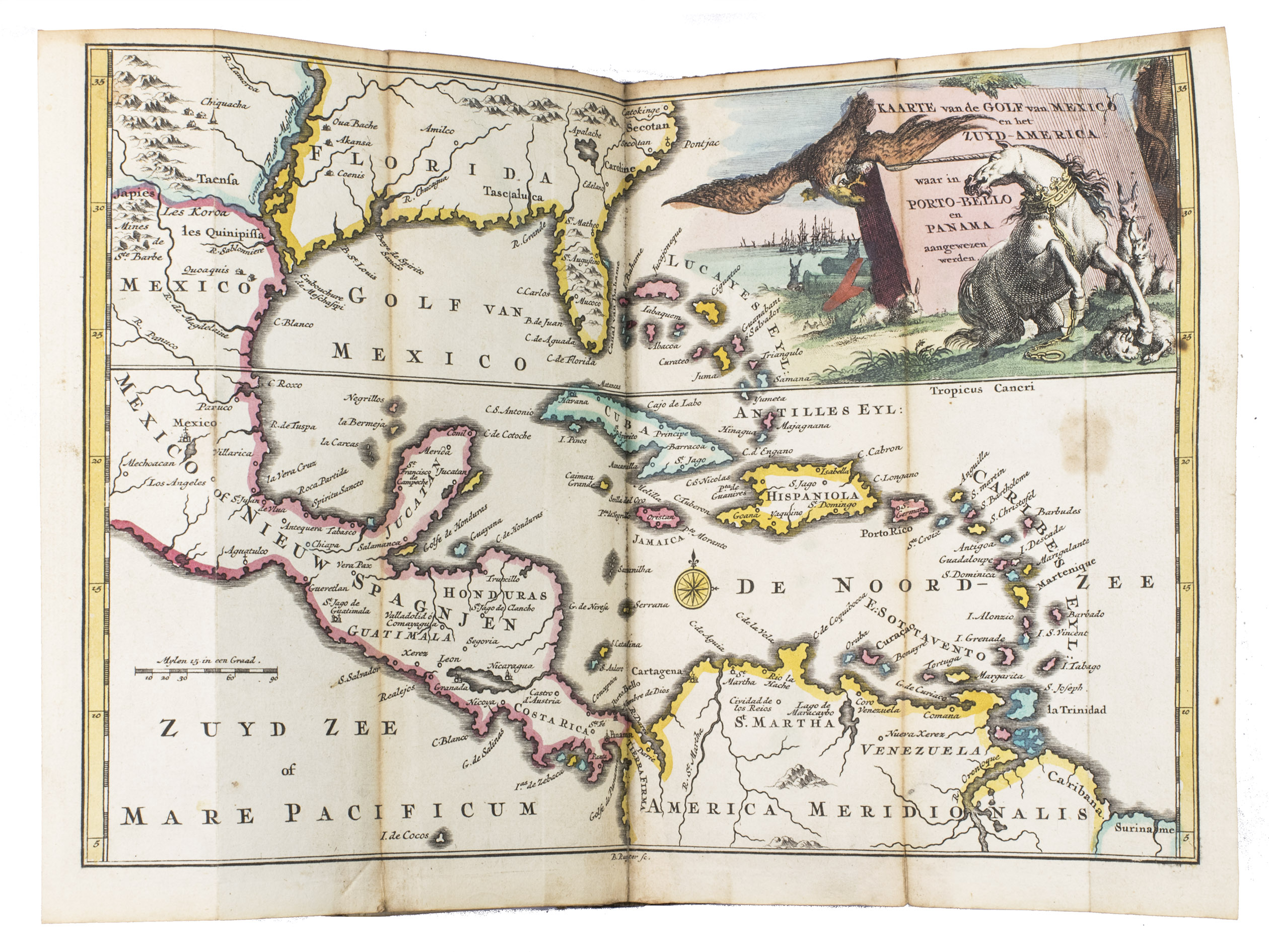
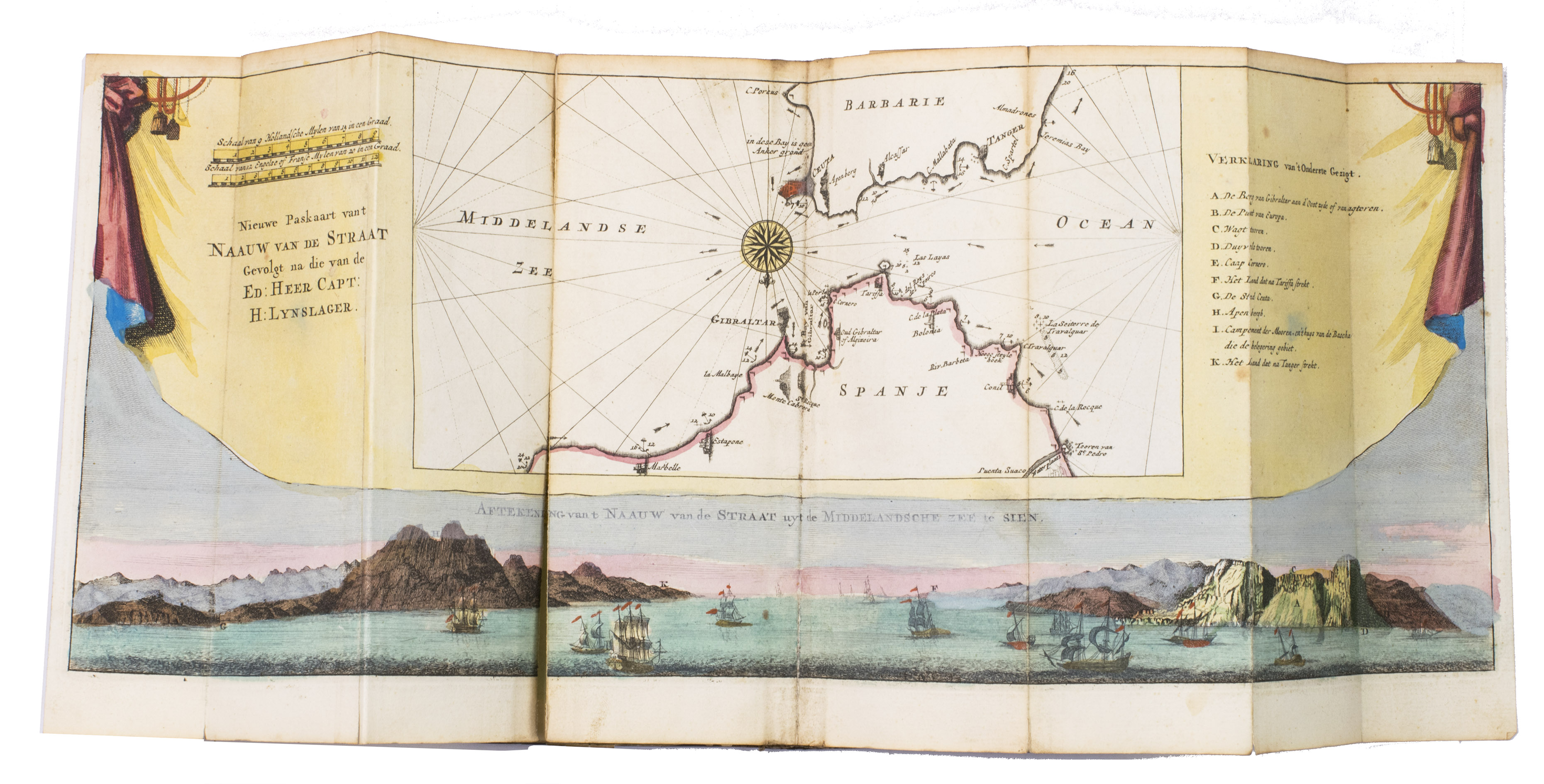
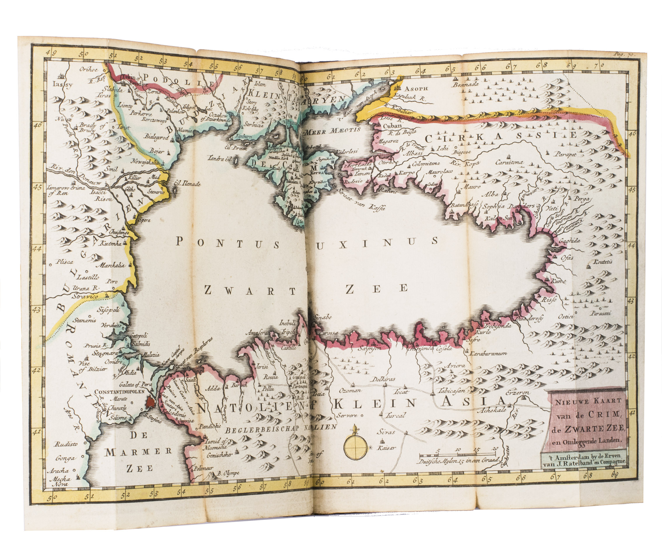
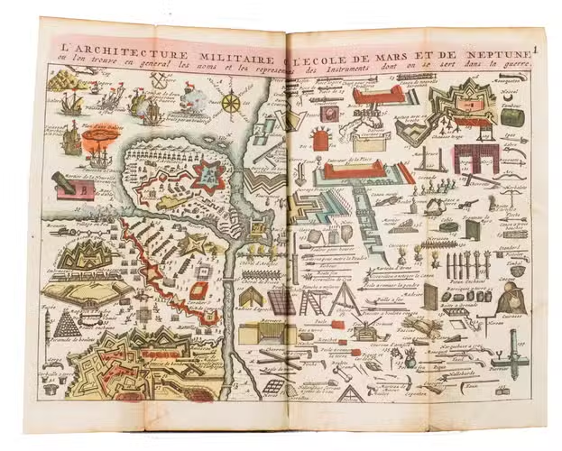
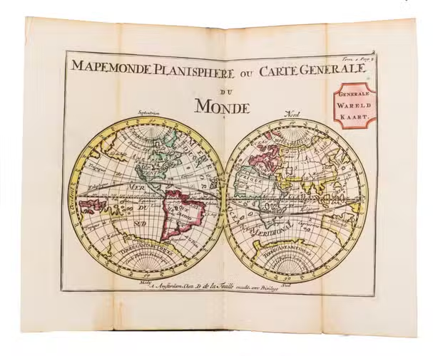
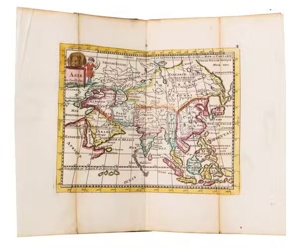
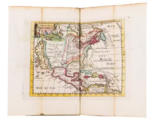
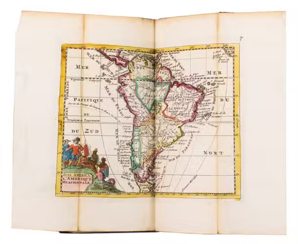
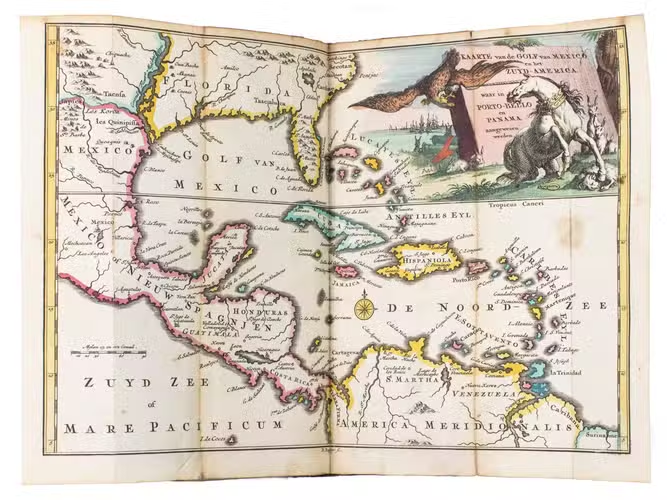
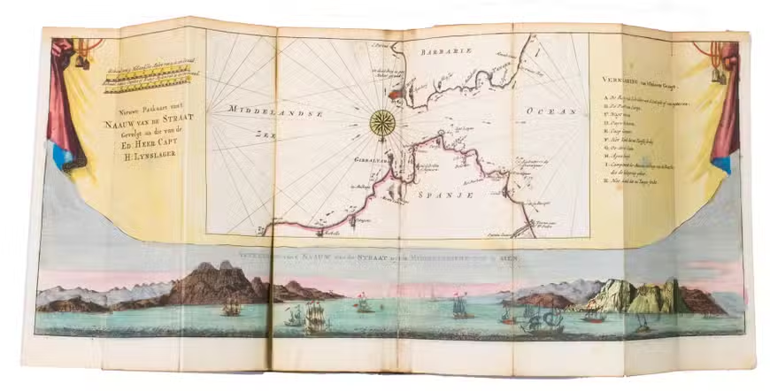
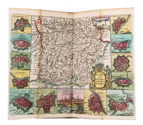
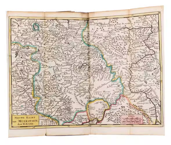
Rare complete second edition of this highly interesting pocket atlas, intended for 18th-century travellers and military officers. The atlas opens with a finely engraved and contemporary hand-coloured folding plate illustrating military engineering, fortification design, ship types, artillery, weapons, and the principal instruments of war in use during the first half of the 18th century. It is followed by a series of 40 engraved maps covering Europe, Asia, Africa, and the Americas, together with regional maps of the principal European kingdoms and provinces, many enriched with town plans, panoramic views, coats of arms, and other decorative features. Several maps bear bilingual French and Dutch titles.
The first edition, containing fewer maps, was published by the same firm in 1732. A third edition followed in Amsterdam in 1747, published by B. van Gerrevink & the Heirs of J. Ratelband. Many of the maps are revised reissues of those engraved by Daniel de la Feuille for Les Tablettes Guerrières (1706), edited by Paul de la Feuille, with later numbering added for their inclusion in the present atlas.
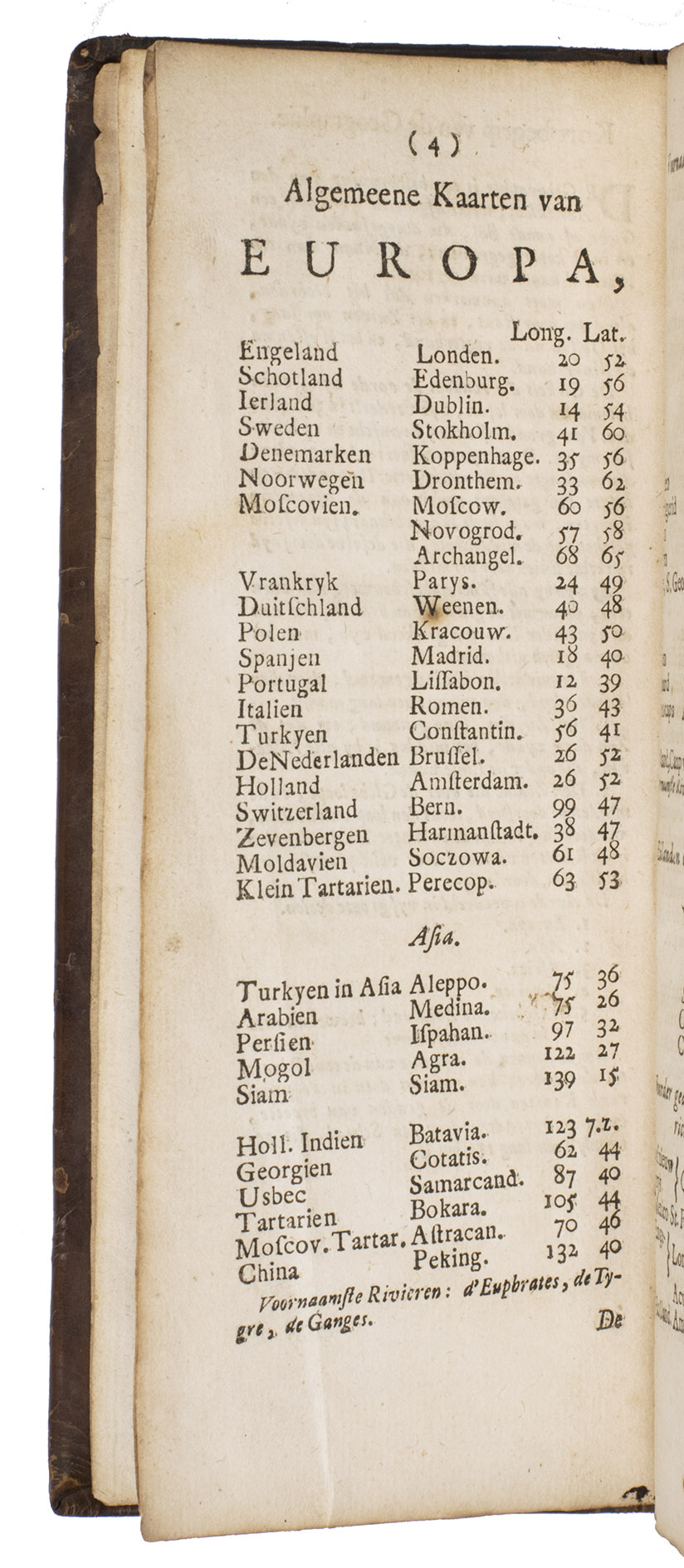
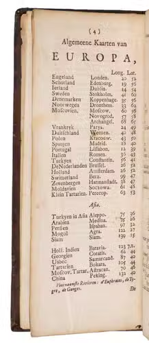
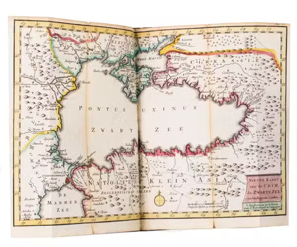
This present work includes all maps listed in the publisher's contents, comprising the complete sequence together with the 6 additional maps introduced for the second edition, including Bosnia and Serbia, the Rhine, the Strait of Gibraltar, the Gulf of Mexico, and the Black Sea and Crimea, while omitting the three plates removed from the first edition. The atlas therefore represents the complete published state of the second edition. The accompanying 16 pages of letterpress comprise the title, a concise introduction to geography, tables of the principal countries, islands, and rivers with their longitudes and latitudes, and the printed index to the engraved plates and maps.
Some tears in the folds of a few maps (some repaired). Spine and binding edges a bit shaved. Koeman, III, Rat. 1 (1732 edition, the present second edition is mentioned but not fully described); STCN 317870939, 184225574 (7 copies).
Related Subjects: