BARTHOLOMEW, John.
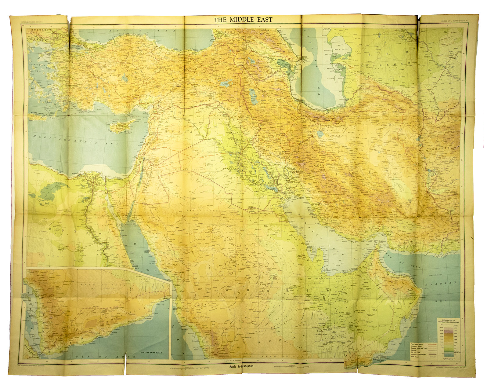
Map of the Middle East: Iran, Iraq, Palestine, Syria, Turkey and Arabia. In contour colouring with roads and aerodromes.
Edinburgh & London, John Bartholomew & son, [ca. 1940]. 8vo. Large folding map (measuring 77 x 99 cm. in total) on a scale of 1:4,000,000, backed by linen. With relief shown by contours, hachures and gradient tints and depths shown by soundings. Folded, with title-wrapper.
€ 850
Large map of the Middle East by Bartholomew, a Scottish firm known for their maps of the area. It shows physical and topographic features, political boundaries, main motor roads, secondary roads, caravan routes and tracks, oil pipe lines.
Some tears along the folds, otherwise good. Cf. for the Bartholomew firm: Foliard, Dislocating the Orient: British maps and the making of the Middle East (2017).
Related Subjects: