BERGHAUS, Heinrich.
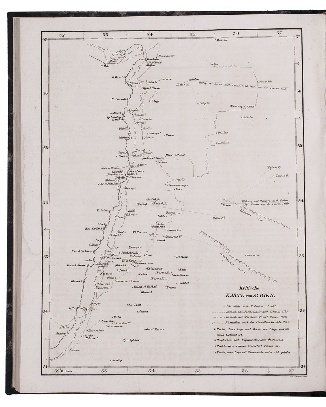
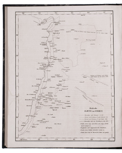
Geographisches memoir zur erklärung und erlaüterung der Karte von Syrien. (no. 5. von Berghaus' Atlas von Asia).
Gotha, Justus Perthes, 1835. With an engraved map of Syria.
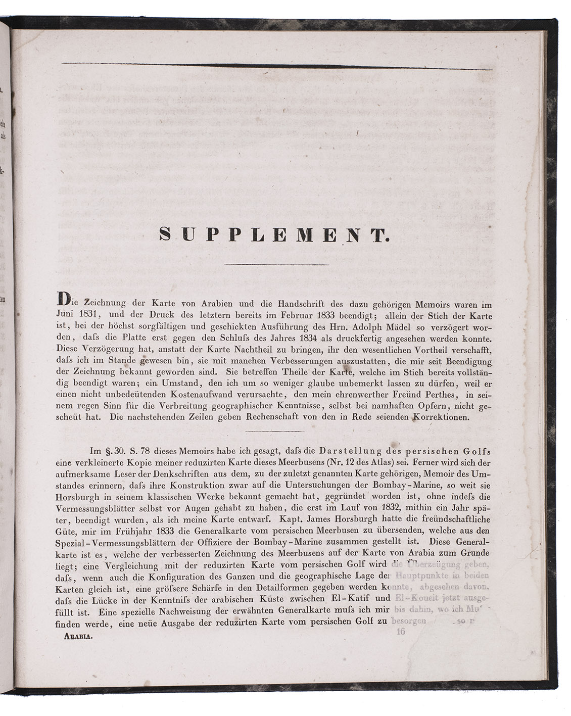
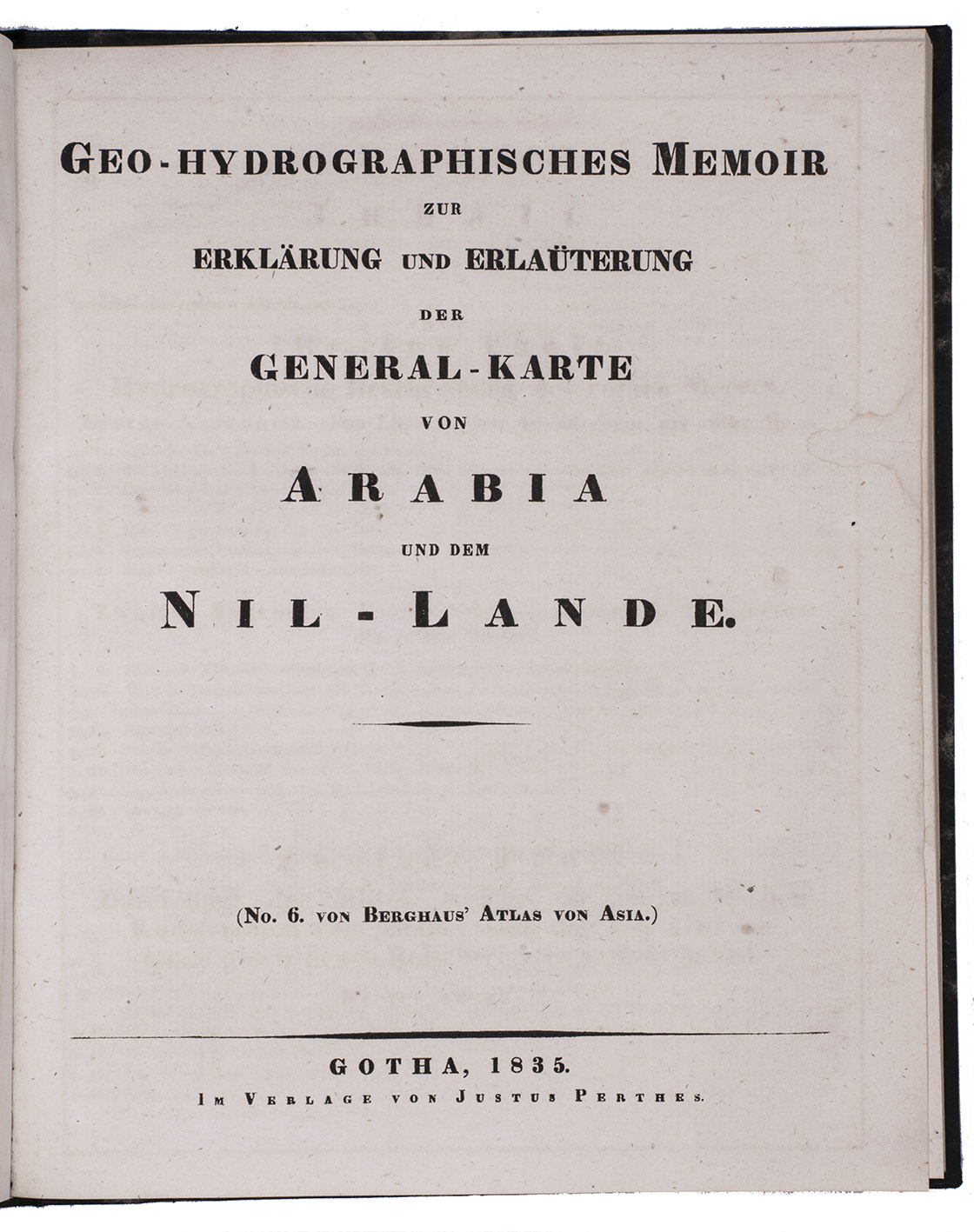
With: (2) BERGHAUS, Heinrich. Geo-hydrographisches memoir zur erklärung und erlaüterung der General-Karte von Arabia und dem Nil-Lande. (no. 6. von Berghaus' Atlas von Asia).
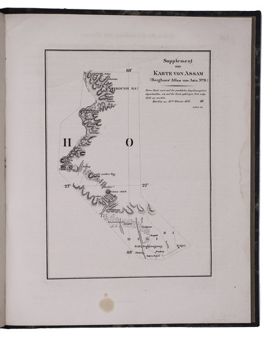
Gotha, Justus Perthes, 1835. 2 works in 1 volume. 4to. With a supplement to another article by Berghaus bound at the end: Supplement zur historisch-geographischen Beschreibung von Assam etc., with an engraved map. Modern half cloth. [4], 48; [4], 128; 179-182 pp.
€ 2,500
Two articles on the mapping of the Arabian peninsula by the German cartographer and geographer Heinrich Berghaus (1797-1884). They give detailed geographical information on the map of Syria and the general map of Arabia, both published in Berghaus's Atlas von Asien (1832-1837). While financially the atlas was a failure, the cartography was outstanding and made Justus Perthes world famous instantly.
With library stamps to the title-page. Ad1 with the map bound upside-down and ad 2 with small restorations to the foot of the last 10 text leaves; a good copy. For Berghaus: Smits, Petermanns maps, pp. 16-22.
Related Subjects: