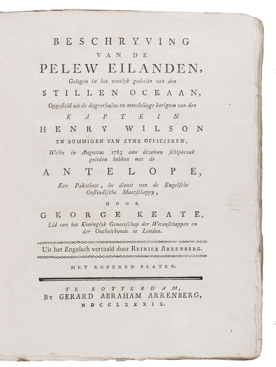
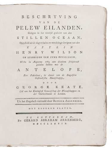
KEATE, George.
Beschryving van de Pelew Eilanden ...
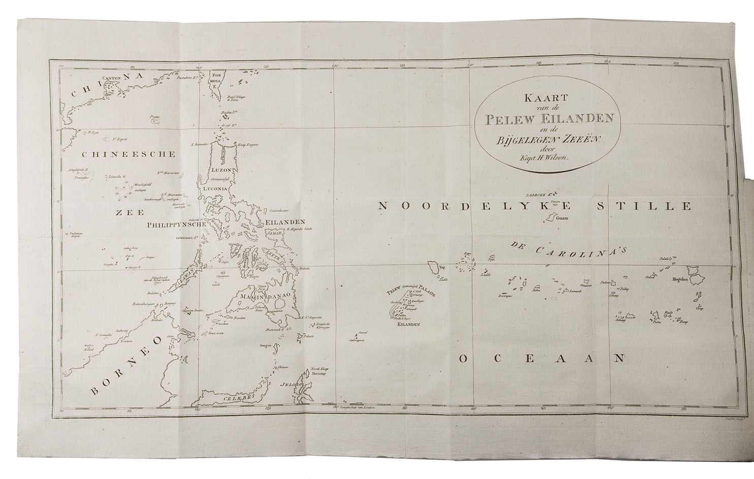
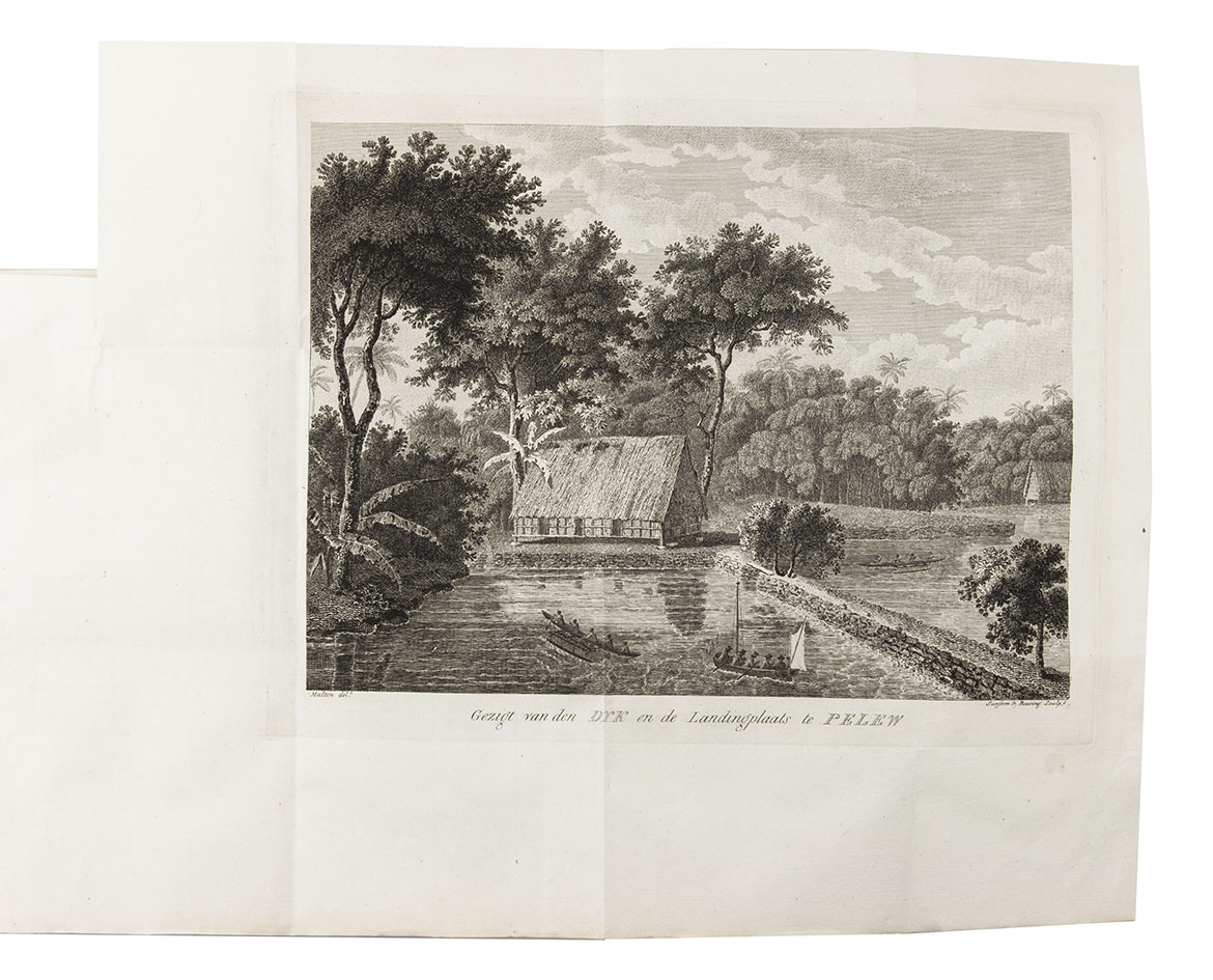
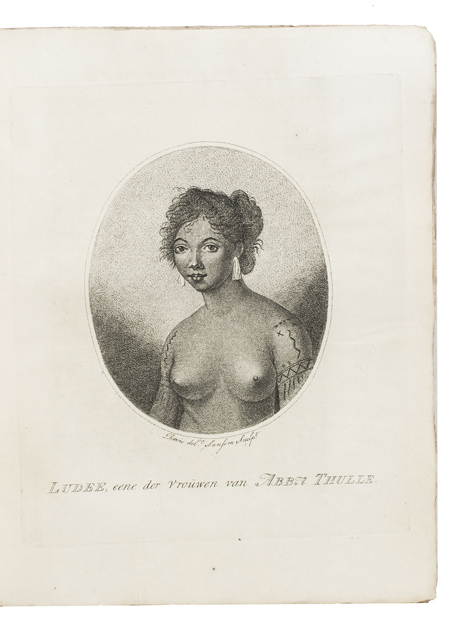
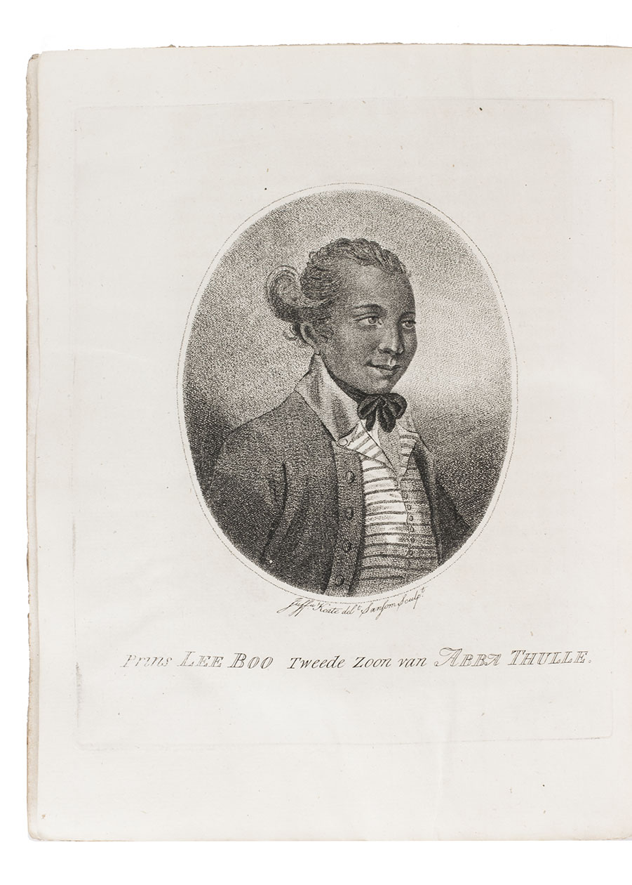
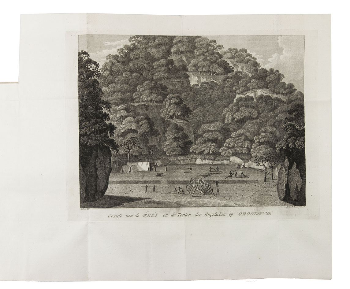
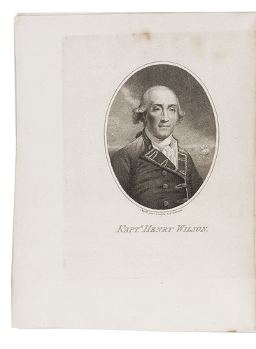
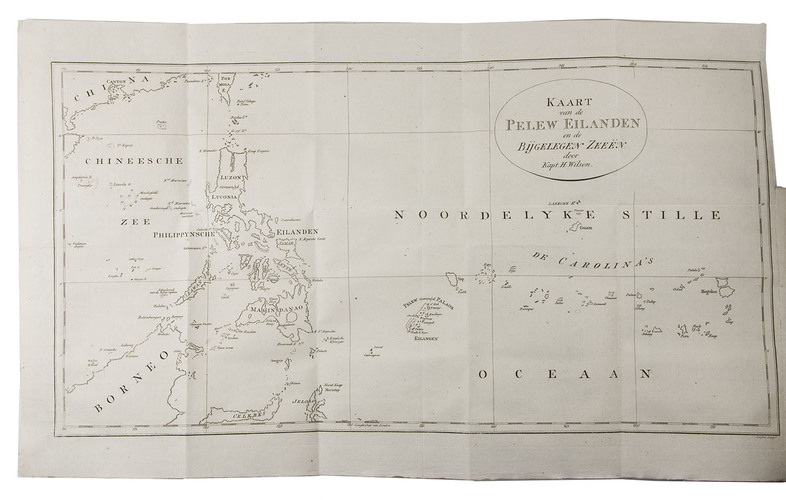
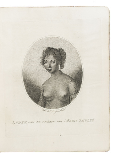
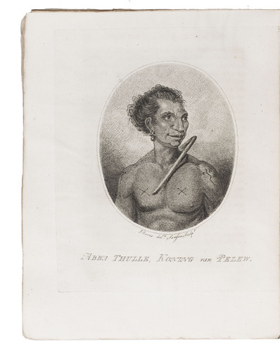
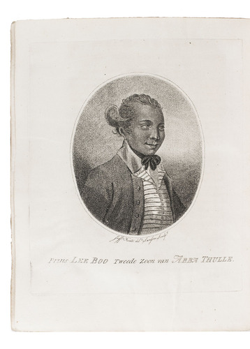
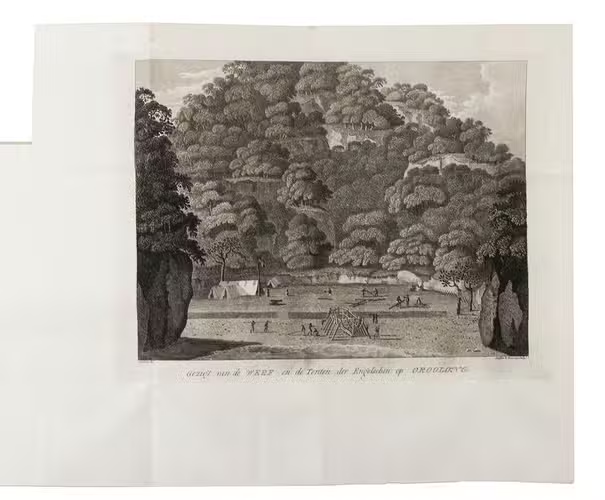
Rotterdam, Gerard Abraham Arrenberg, 1789. 4to. With 8 plates: 4 mixed technique (partly stipple-engraved) portraits, 1 large folding engraved map of the Palau Islands and western equatorial Pacific, and 3 folding engraved views. Contemporary boards. XXXII, 365, [1] pp.
€ 2,500
First Dutch translation of one of the most popular 18th-century books on the Pacific, and the main source of early knowledge of the Pelew or Palau Islands in Micronesia, first published in London as An account of the Pelew Islands (1788). In 1773, the Antelope under command of Captain Henry Wilson was shipwrecked near one of the Palau Islands, a previously unexplored group. The crew managed to reach shore, where they were well treated by the natives. They built a small boat from the wreck, in which they reached Macao. They took Lee Boo, the son of Abba Thulle, King of the Palau Islands, with them to England where he made a very good impression. Unfortunately, he soon died of smallpox. The map covers from the equator to 24°N latitude and from 110 to 159°E longitude (from Borneo and the south coast of China in the west to the western Caroline Islands).
With a minor stain in the front endpapers, slightly affecting the margin of the first portrait, but not approaching the image. The publisher's letterpress spine label was probably printed on the otherwise blank 2Z4, which has therefore been removed. Fine untrimmed copy with many bolts unopened. Binding rubbed and spine-label torn. Cat. NHSM p. 233; Cox II, p. 302; not in: Tiele, Bibl.
Related Subjects: