[OTTOMAN ATLAS - MANUSCRIPT].
[Atlas of the western Ottoman Empire].
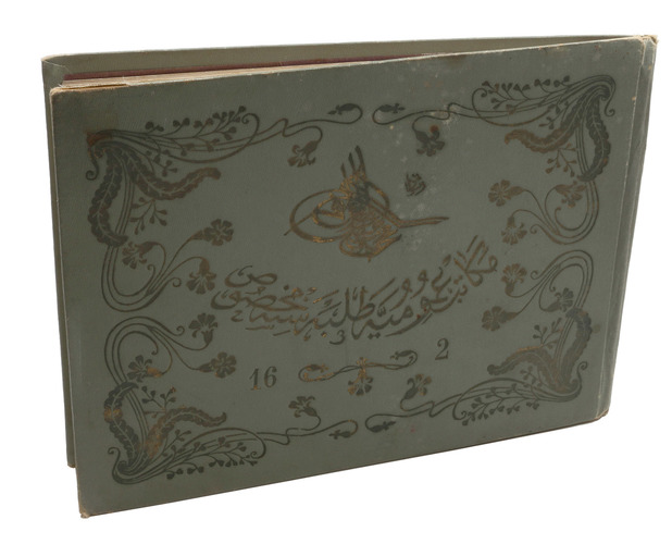
Ottoman Empire, ca. 1910. Oblong 4to (26.5 x 19.5 cm). 14 leaves with 10 pen-and-ink maps, hand coloured with watercolours. Tissue guards. Gold-stamped cloth with the tughra of Mehmed V (ruled 1908-18) on the front board (when reading right to left) and "Album" on the back board (the front when reading left to right), with an inscription below the tughra and the European numerals "16" and "2" flanking an ornament below the inscription, the whole framed by 4 large floral cornerpieces.
€ 8,500
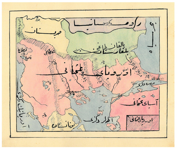
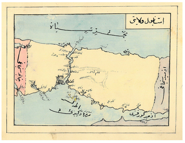
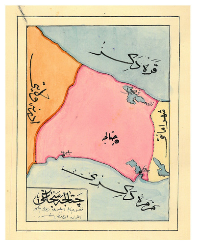
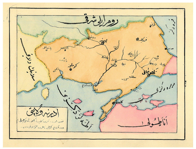
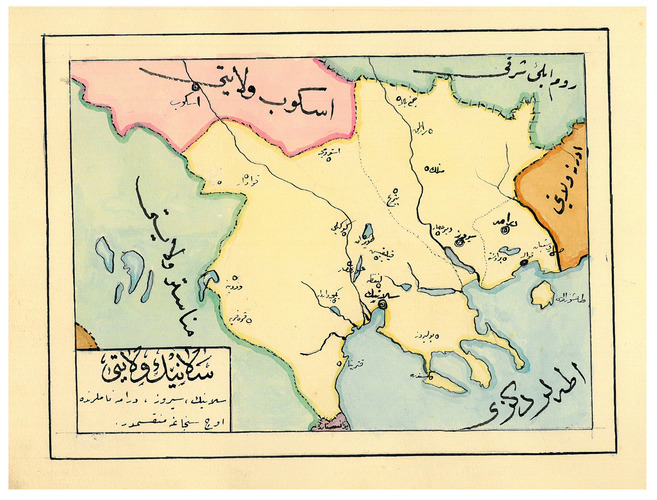
An album of hand-drawn maps forming an atlas of the western (mostly European) parts of the Ottoman Empire, with legends in Ottoman Turkish, written in the Arabic script. The overview map shows Albania, Kosovo, Macedonia and the Ottoman controlled (northern) parts of Greece, coloured together with Thrace and the (northwest) parts of Anatolia shown, treating them as a single unit, while Serbia and Bulgaria (like the small parts of territories outside Ottoman control) are coloured separately. Most of the other maps give more detailed views of some of these regions, including the Bosporus, the Dardanelles, Halkidiki (Chalcidice), Albania, etc., but there is also a map of Crete, not in the overview map.
In fine condition.
Related Subjects: