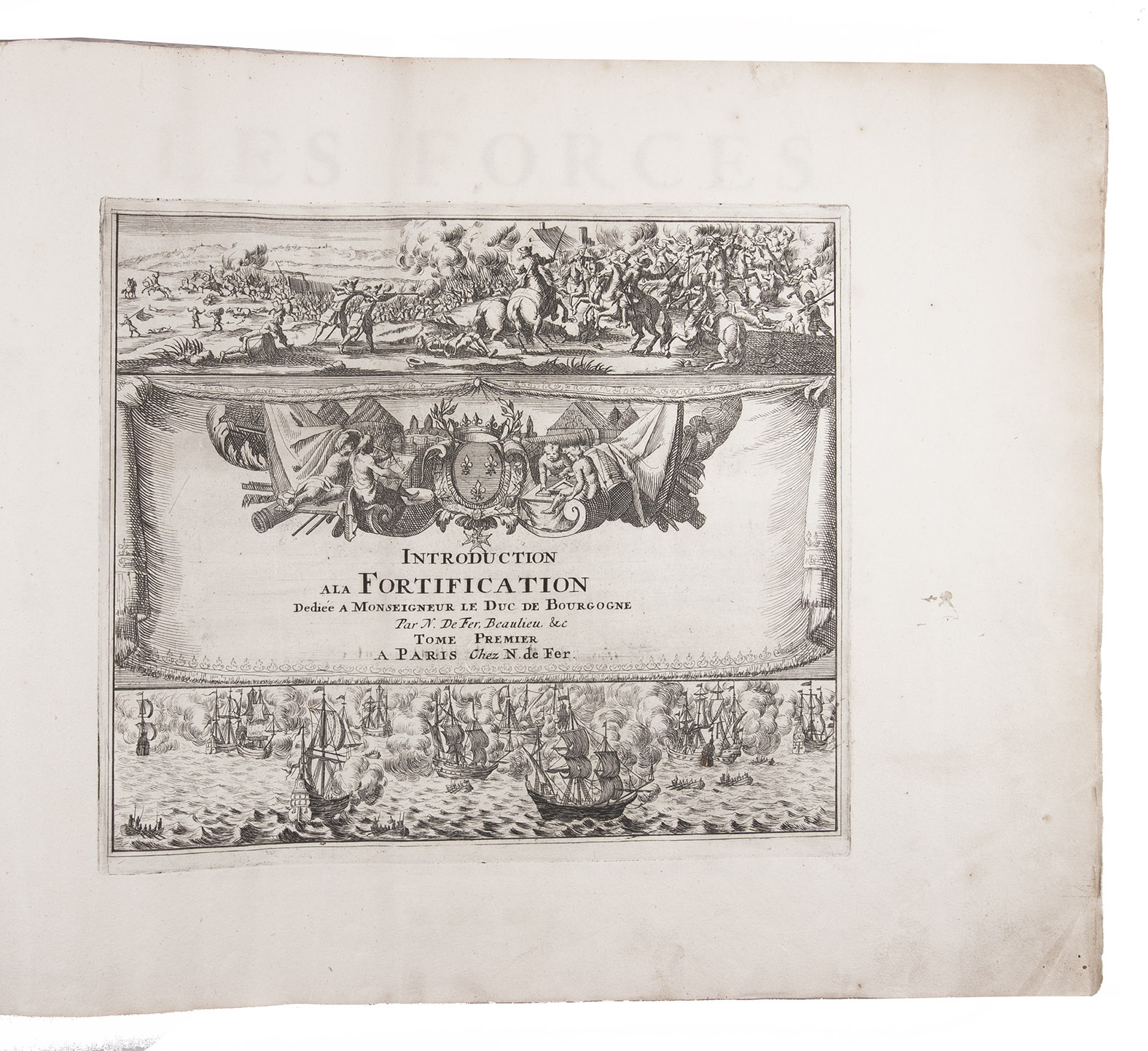
FER, Nicolas de.
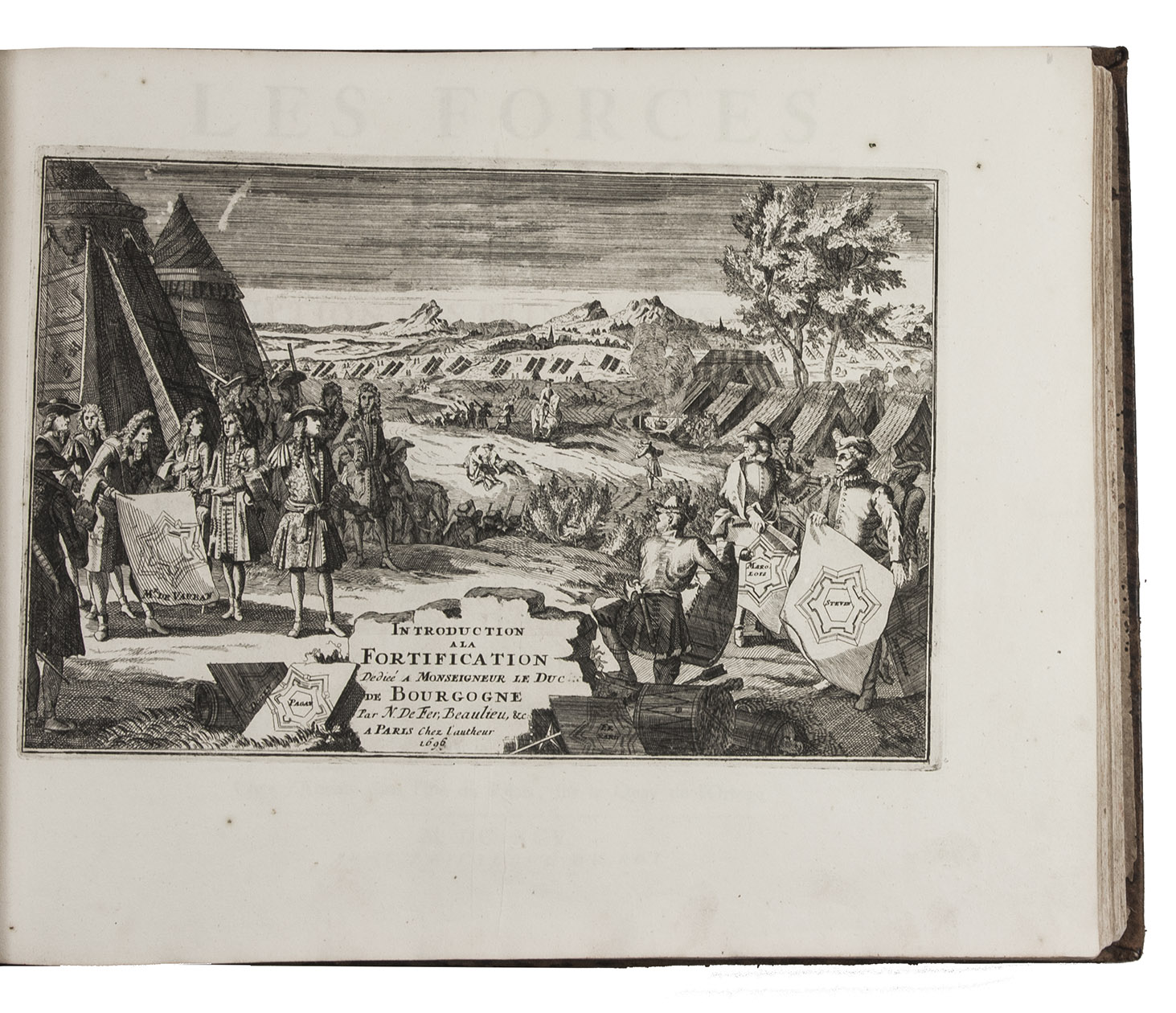
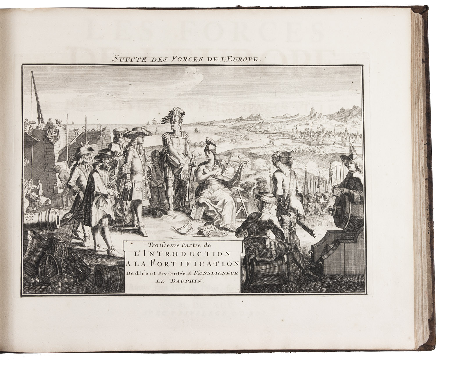
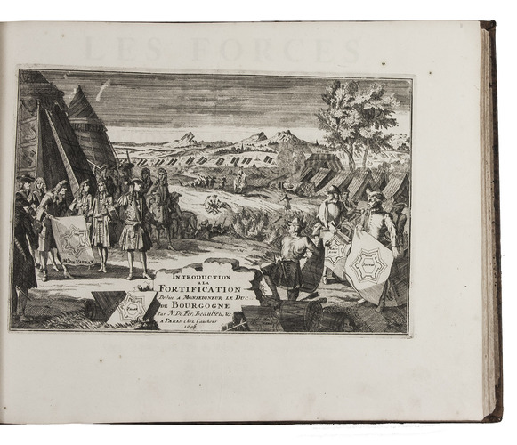
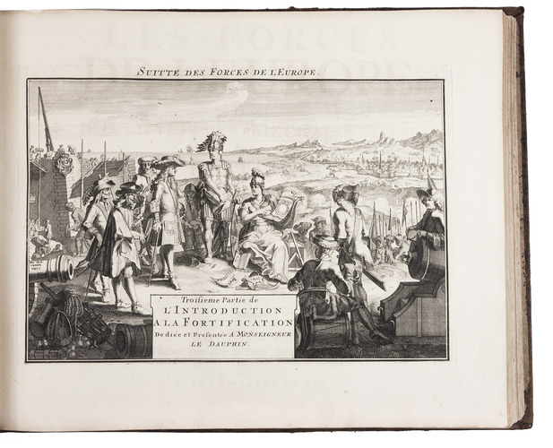
Les forces de l' Europe, ou description des principales villes; avec leurs fortifications. . . .
Paris, "chez l'auteur" [=Nicolas de Fer, a false imprint], 1695-1696 [printed in Amsterdam, for Pieter Mortier, 1695-ca. 1702]. 10 parts in 1 volume. With 234 beautifully engraved plates (a few folding) with 366 maps and views of fortified cities.
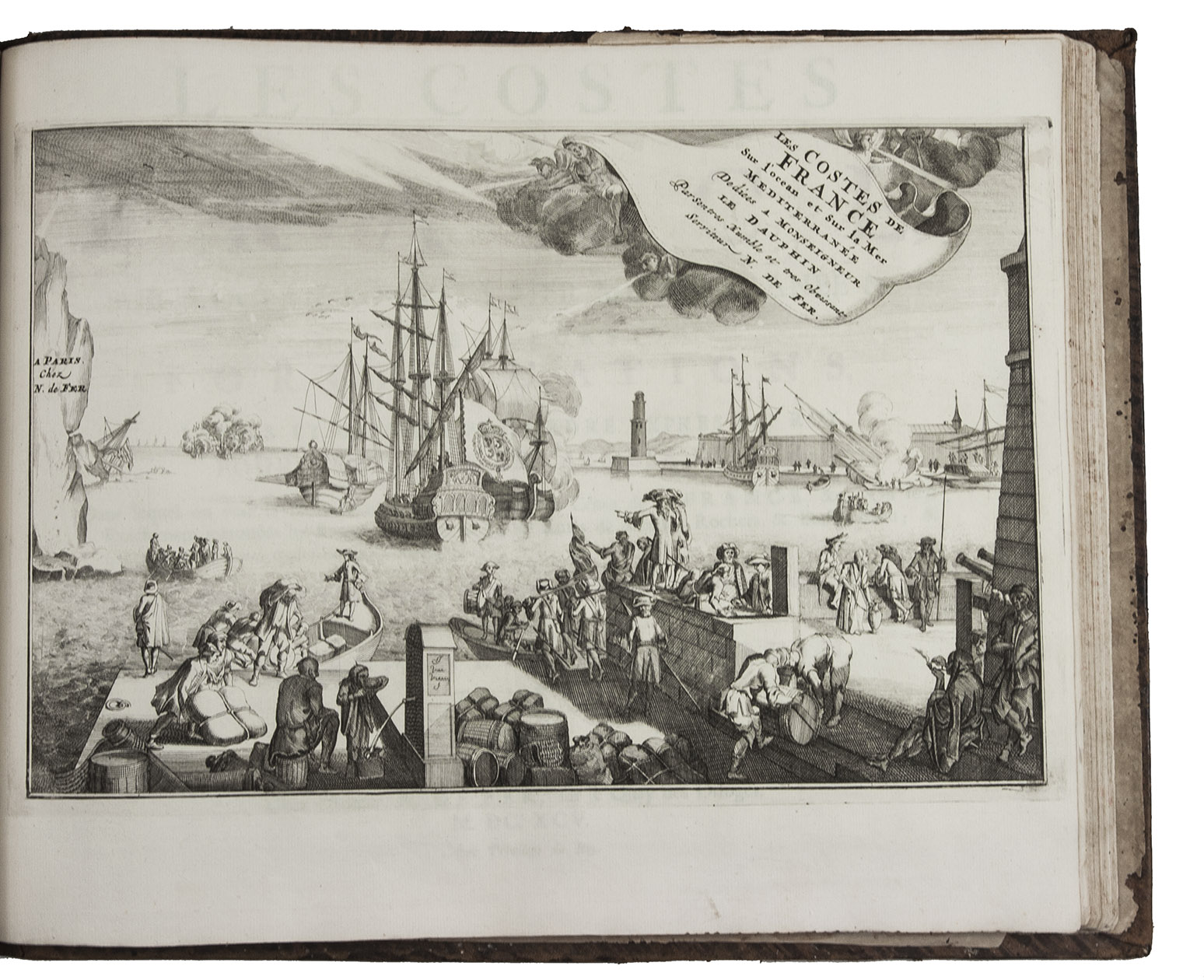
With: (2) FER, Nicolas de. Costes de France, sur l' ocean & sur la Mer Mediterranée &c. avec leurs fortifications. . . .
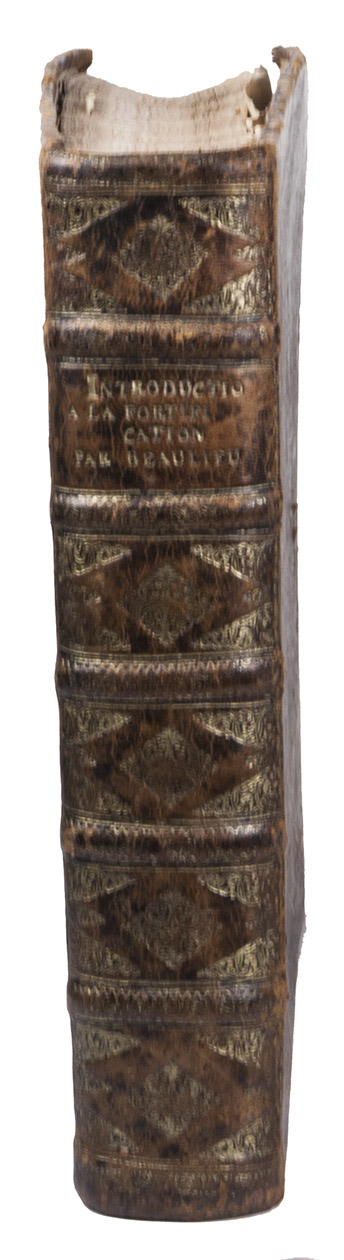
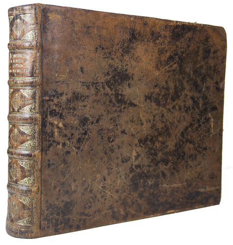
Paris, "Nicolas de Fer" [a false imprint], 1695. [printed in Amsterdam, for Pieter Mortier]. With engraved title-page and 40 engraved plates (including 2 folding). 2 works in 12 parts or volumes, bound as 1 volume. Oblong 1mo (30×37 cm). Contemporary tanned sheepskin, gold-tooled spine.
€ 17,500
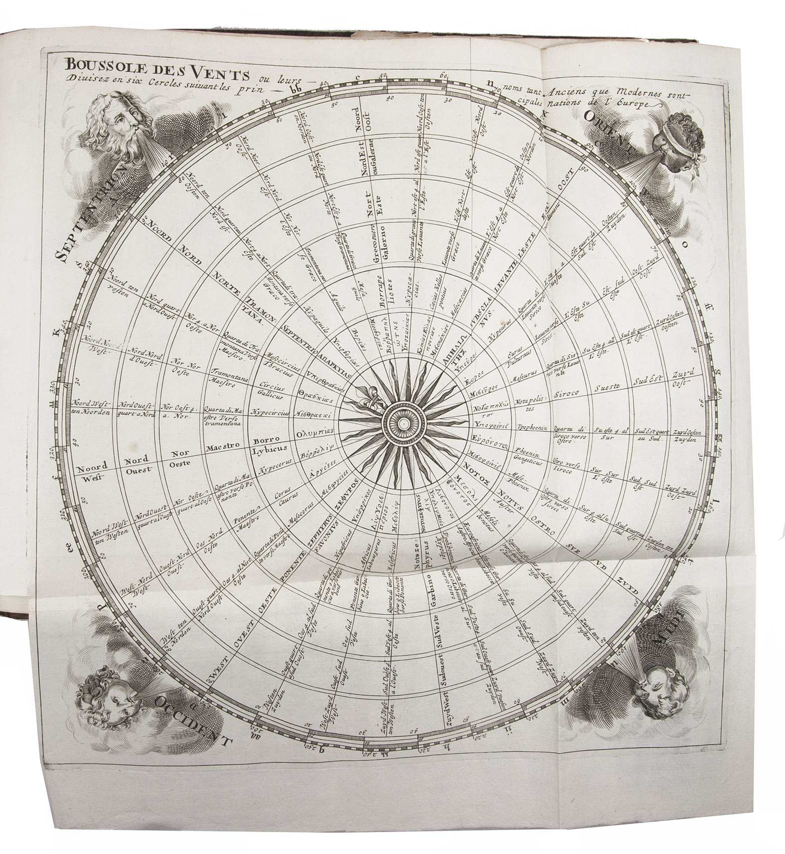
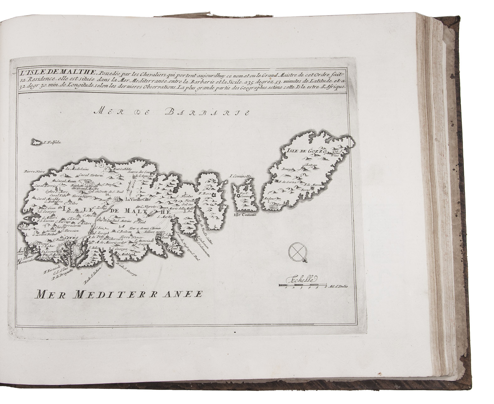
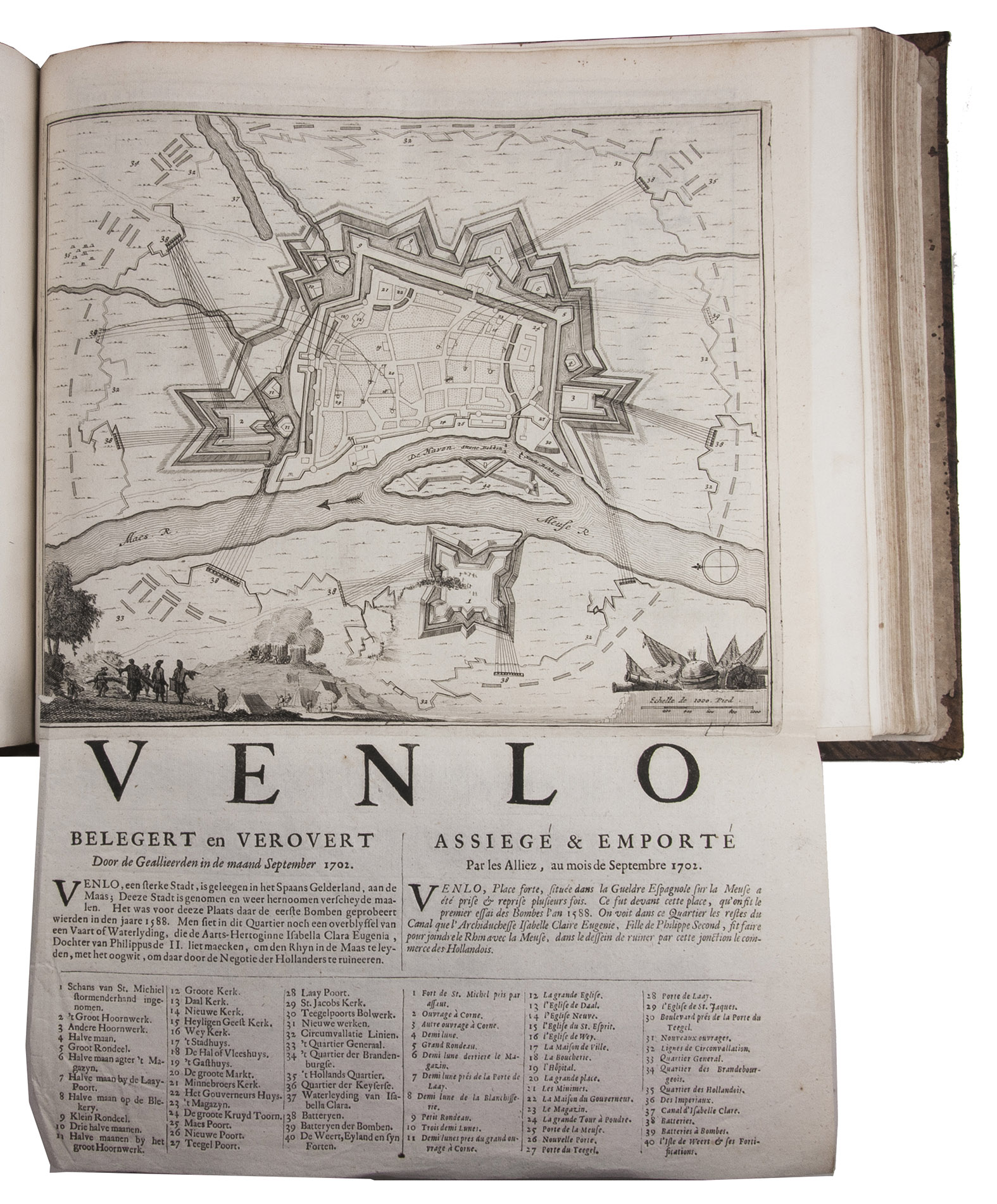
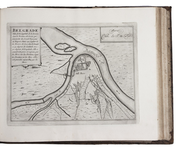
Splendid atlas of fortifications of the cities of Europe (plus Malta and some other Mediterranean sites), combined with a maritime atlas of the French coasts, published by Pieter Mortier (1661-1711). Both are based on the similar publications of Nicolas de Fer (1646-1720) and falsely indicate that they were published by him.
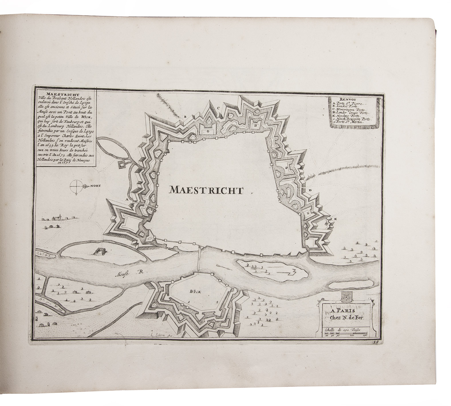
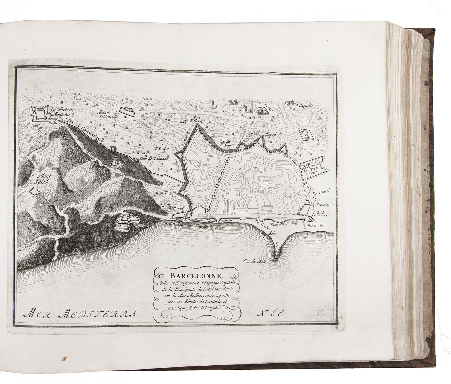
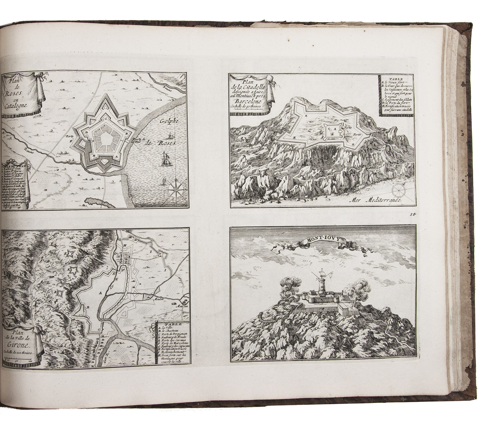
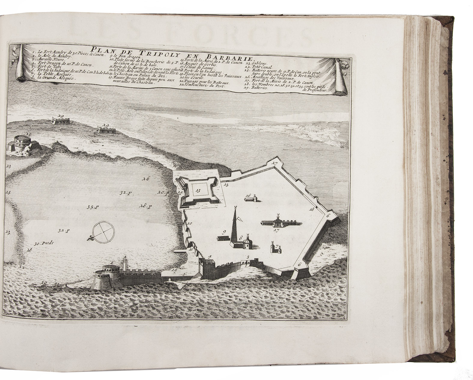
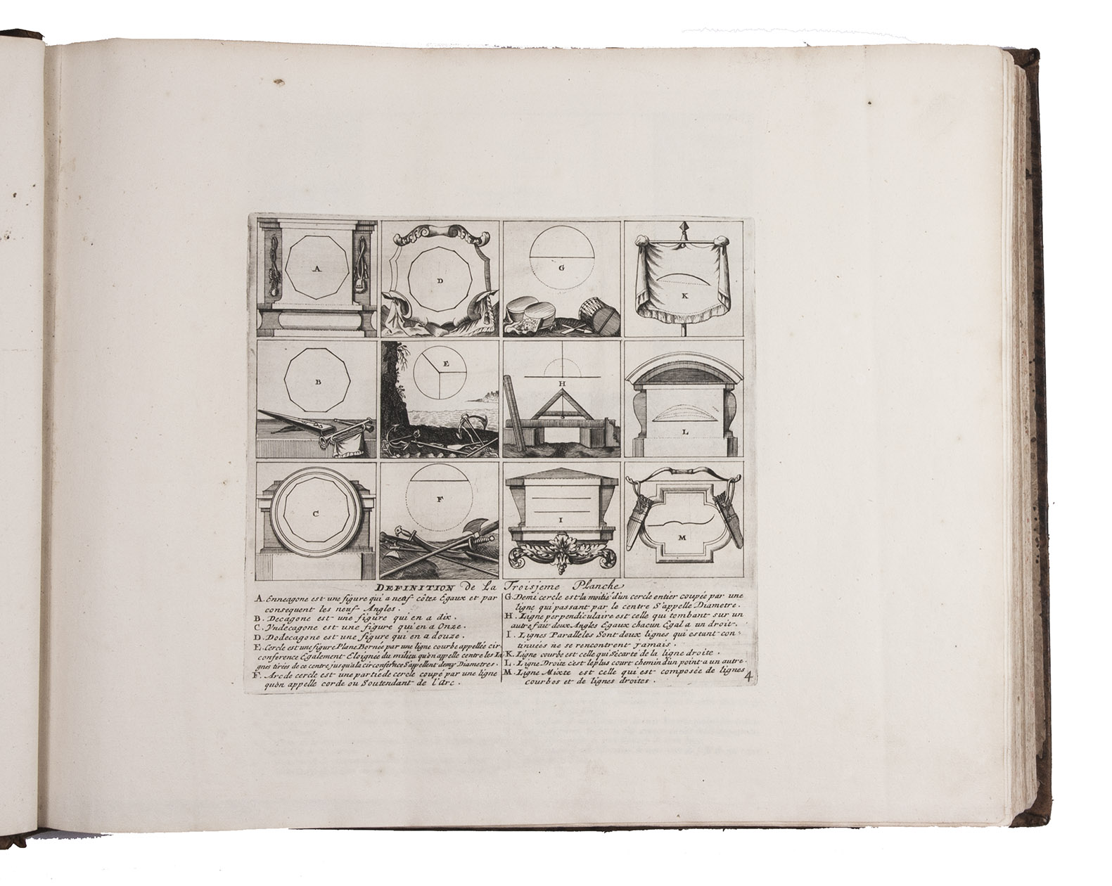
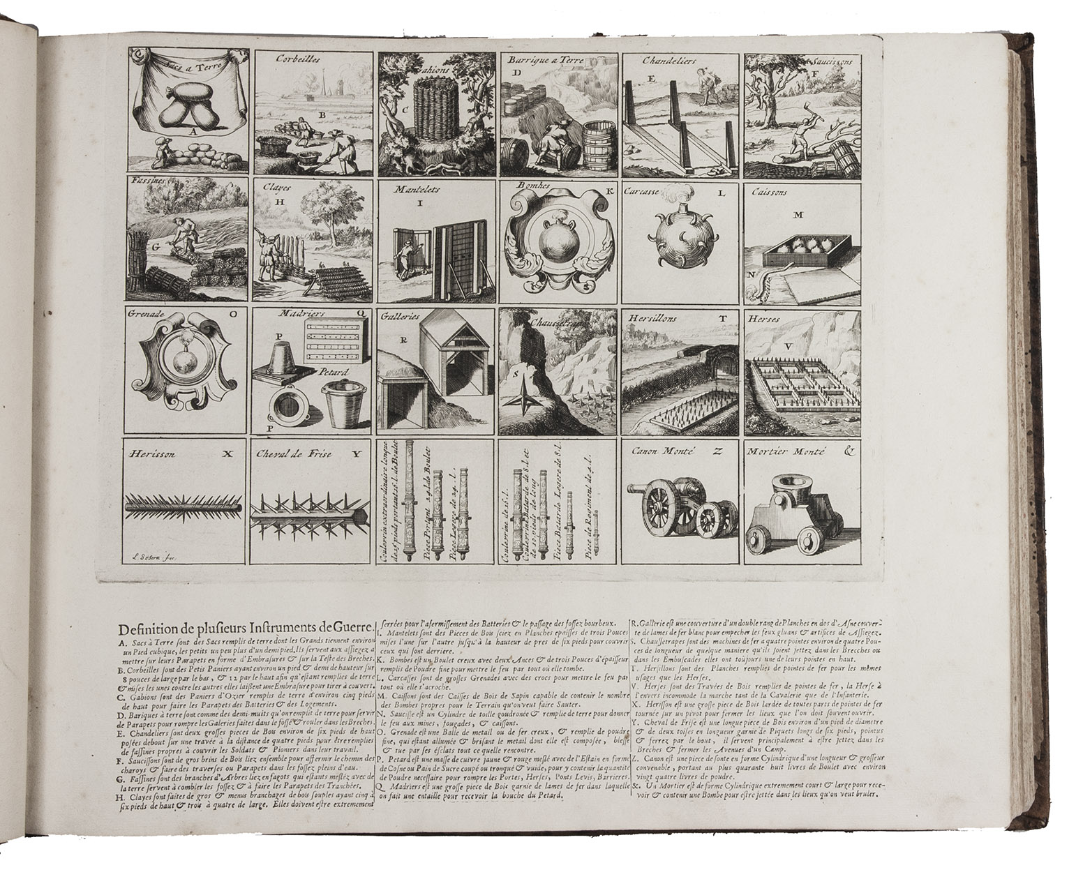
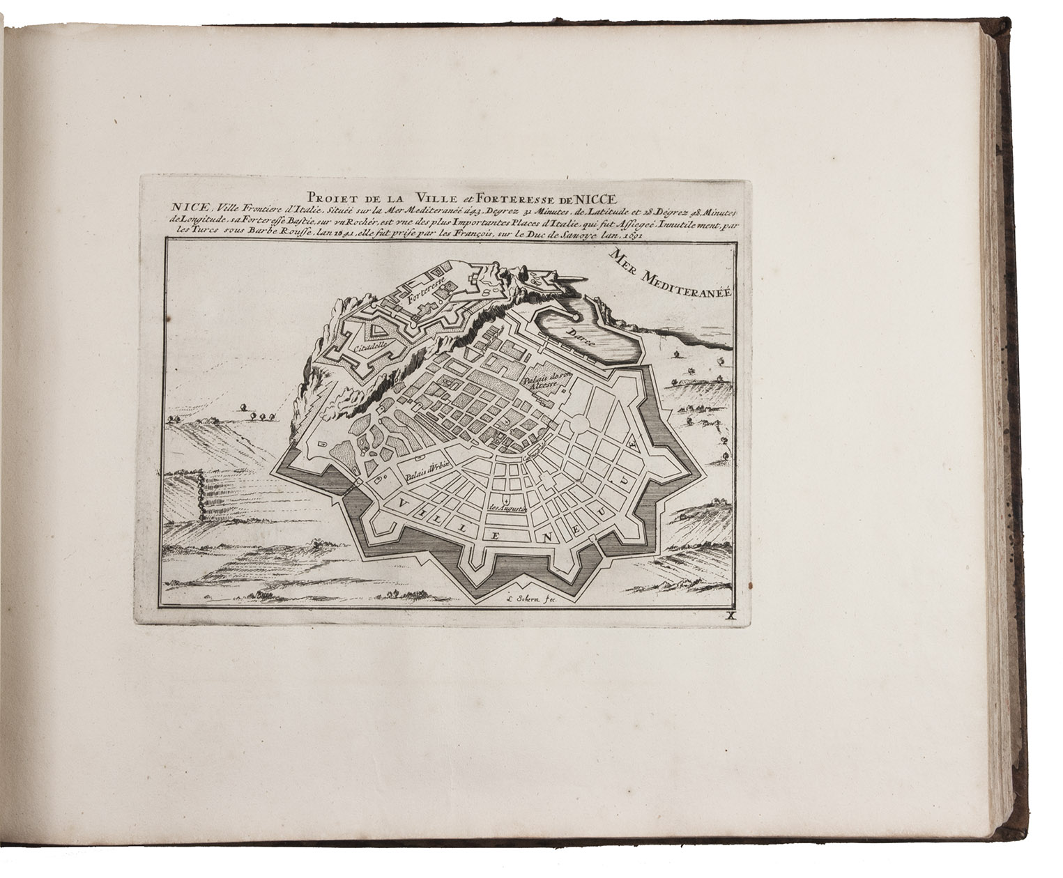
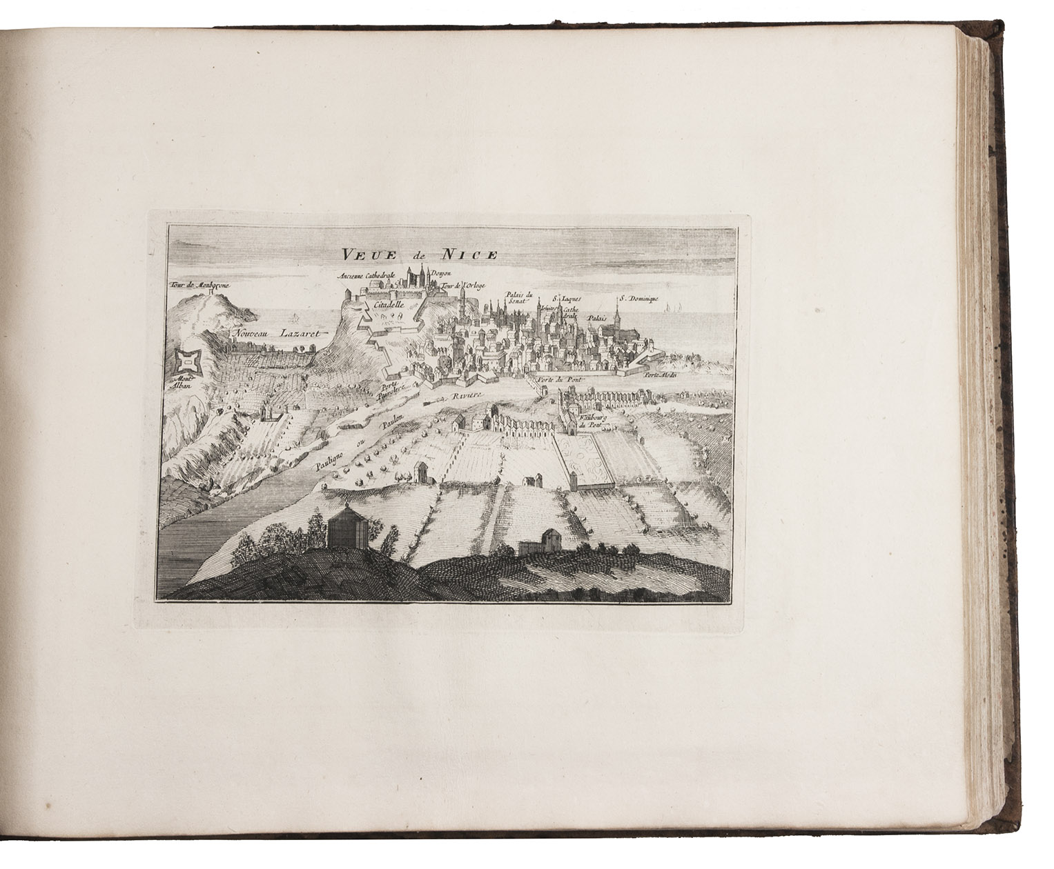
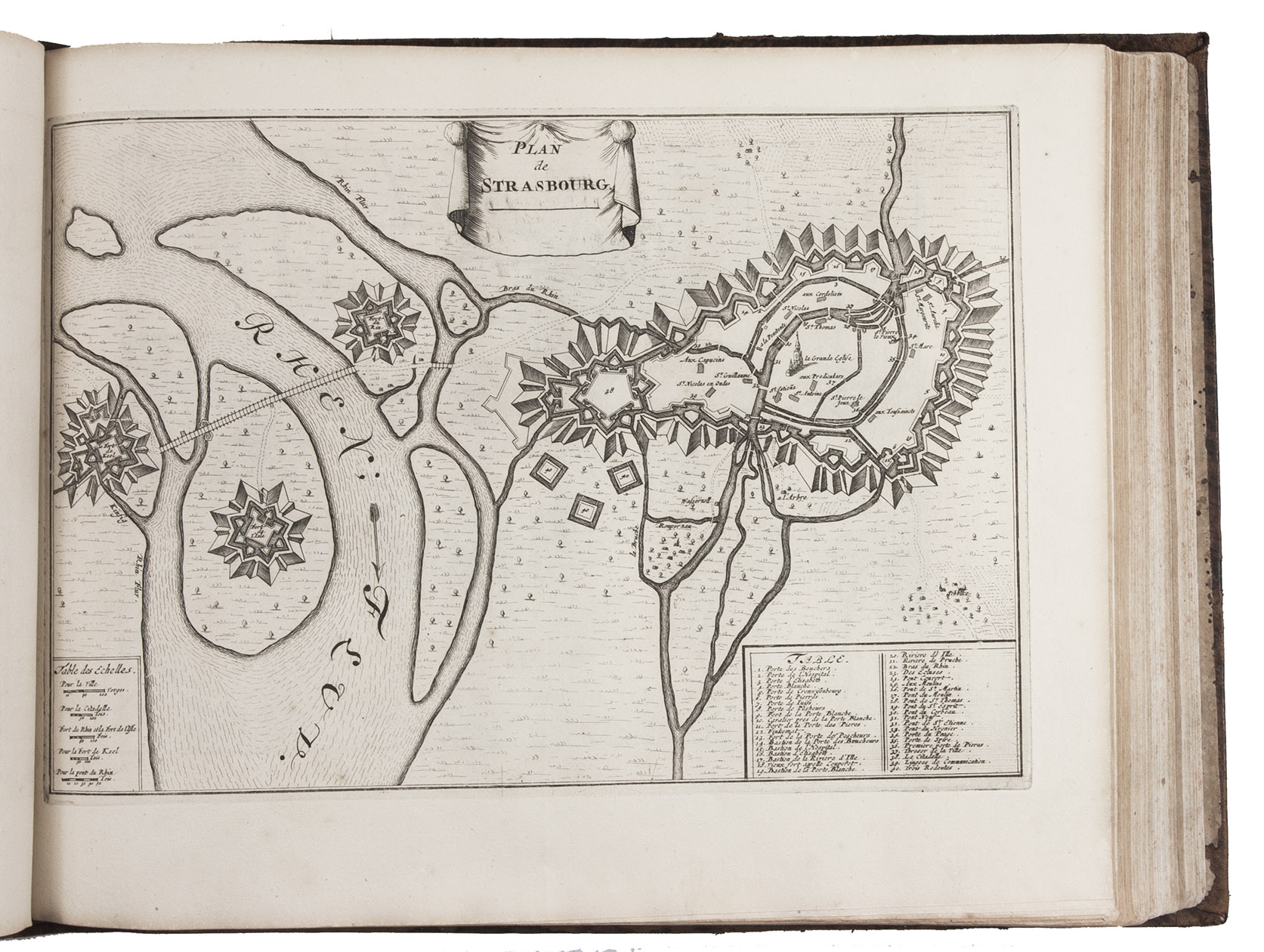
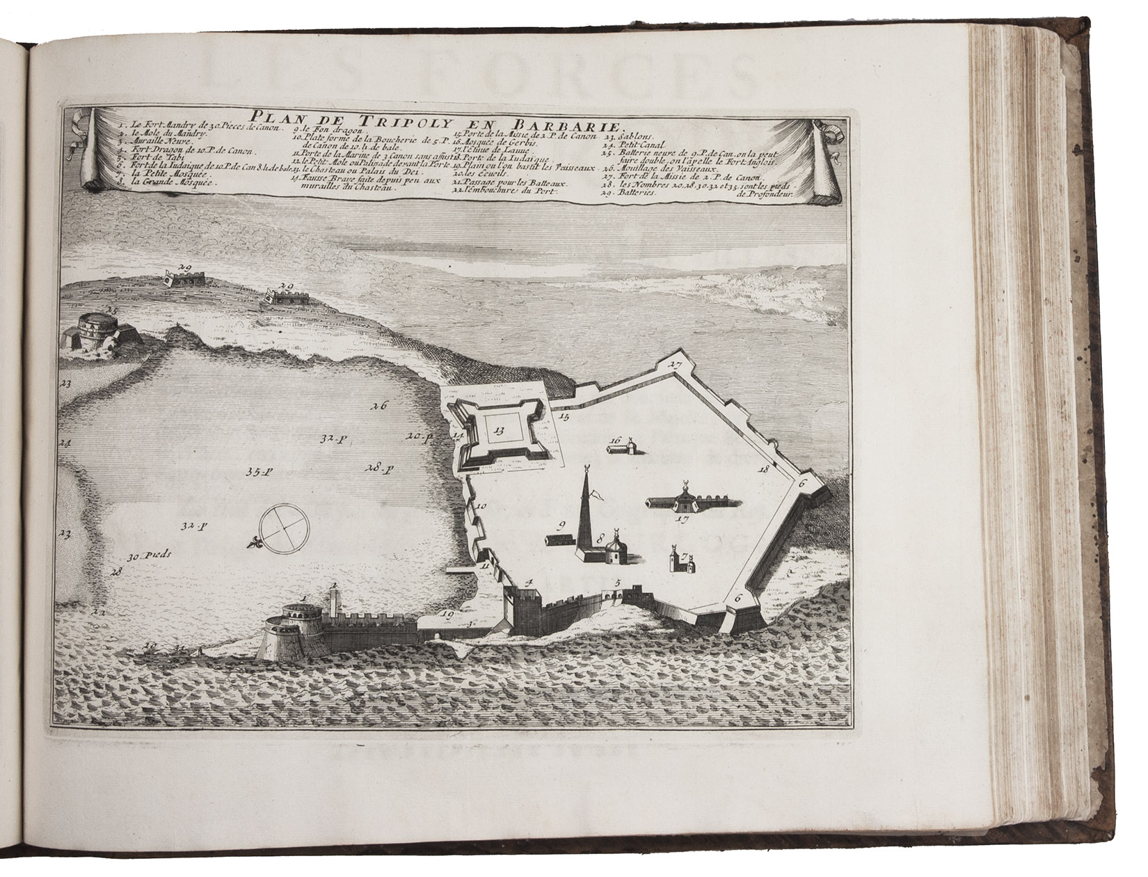
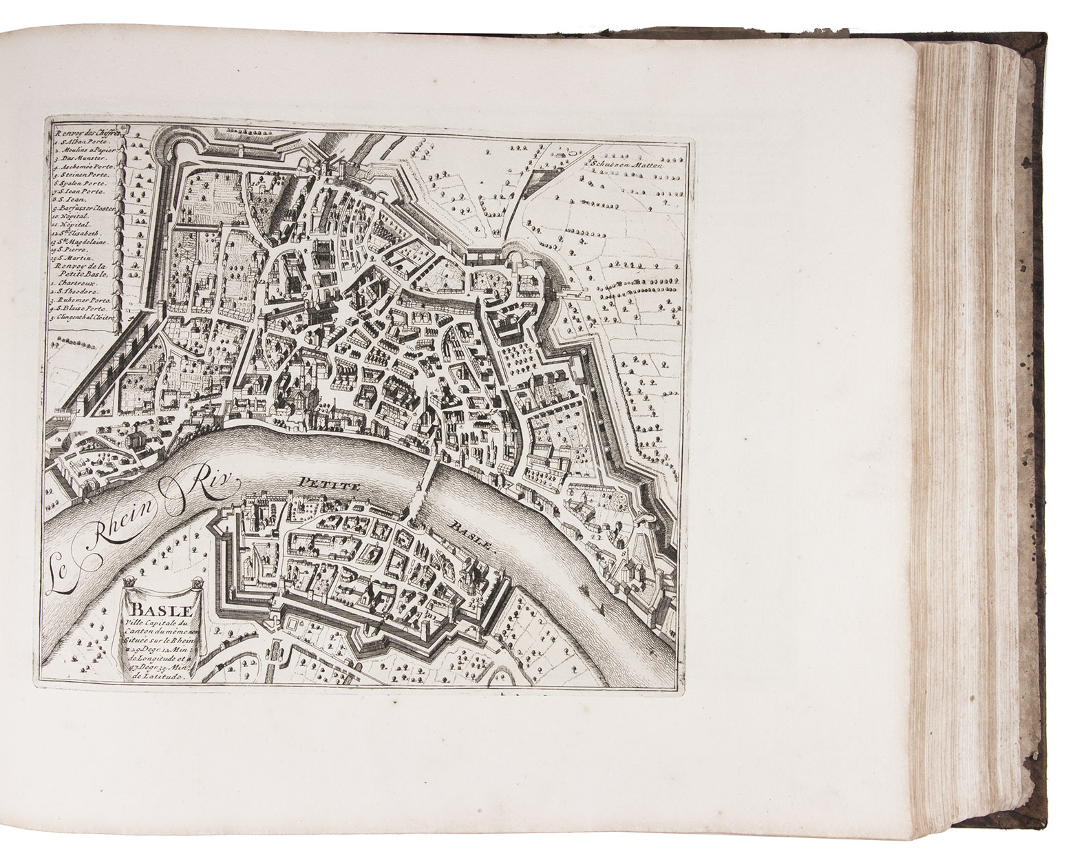
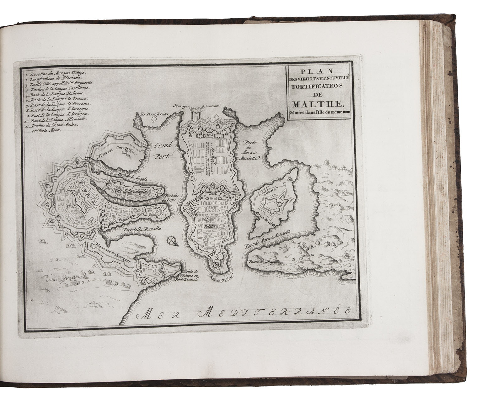
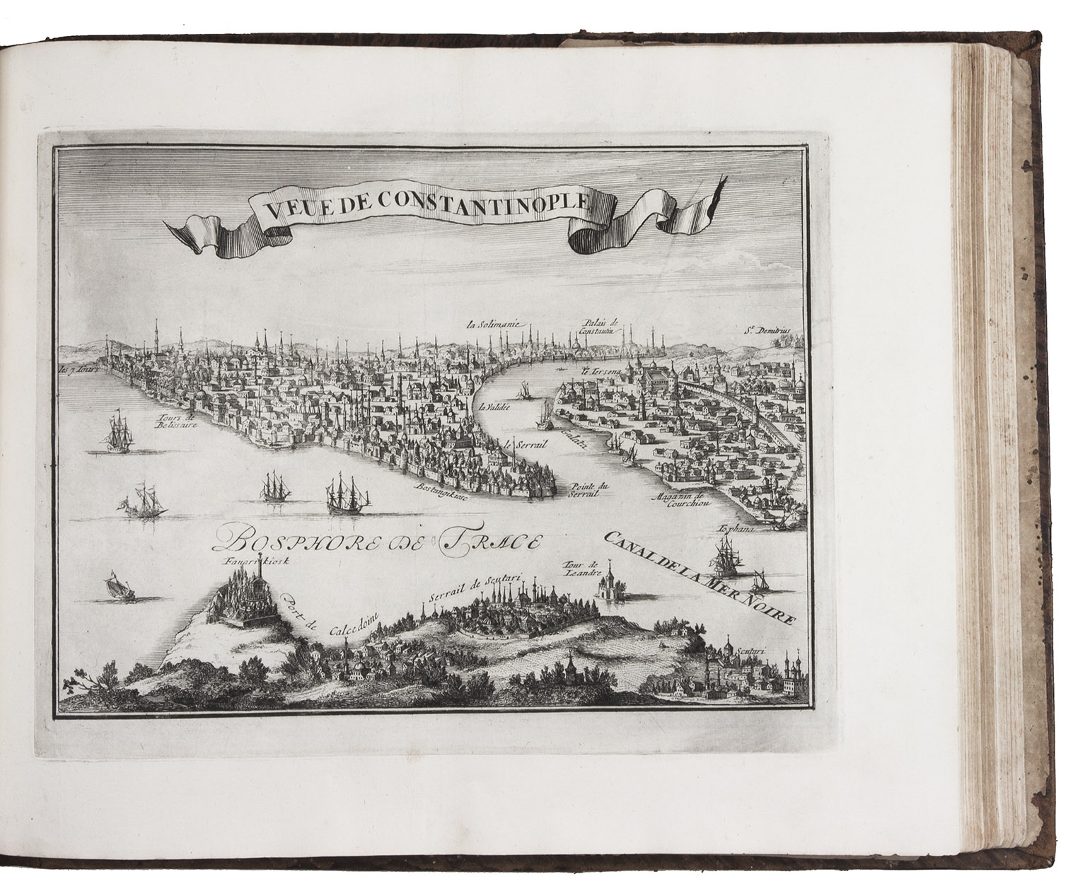
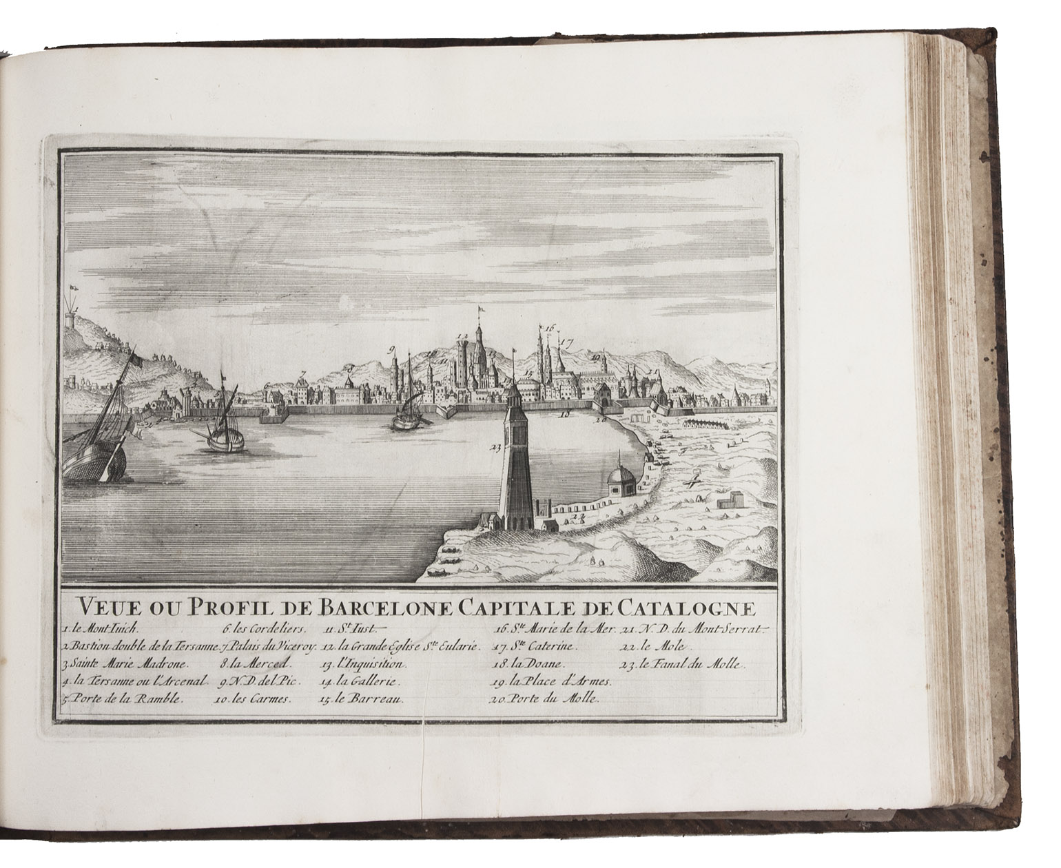
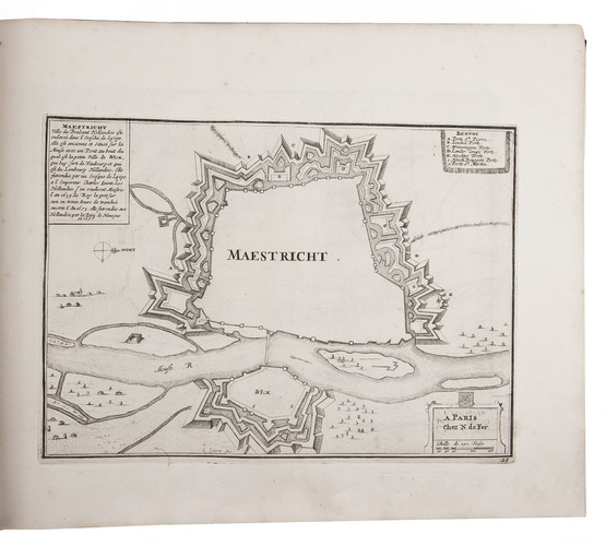
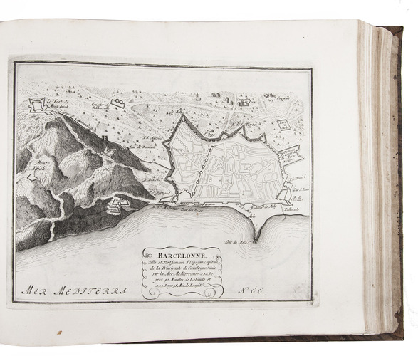
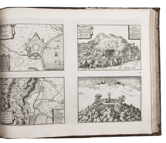
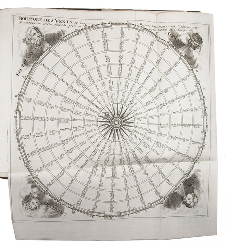
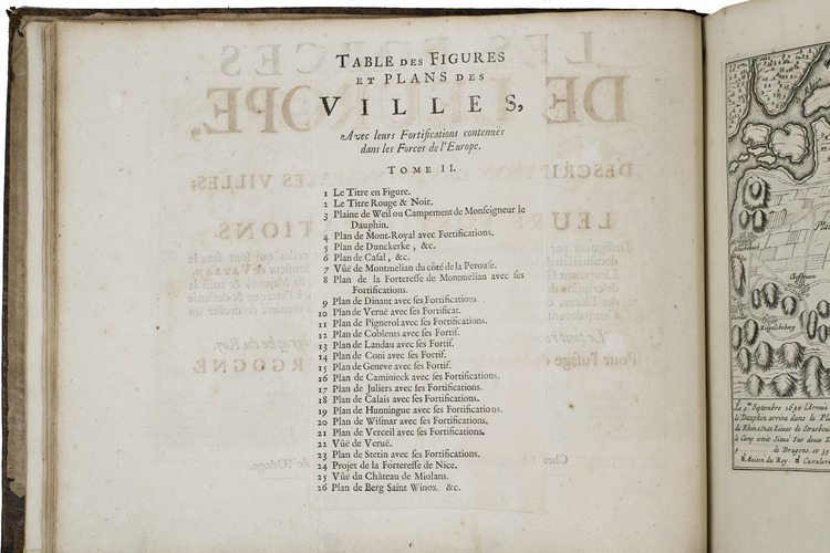
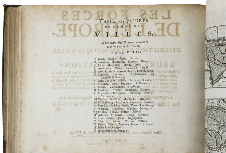
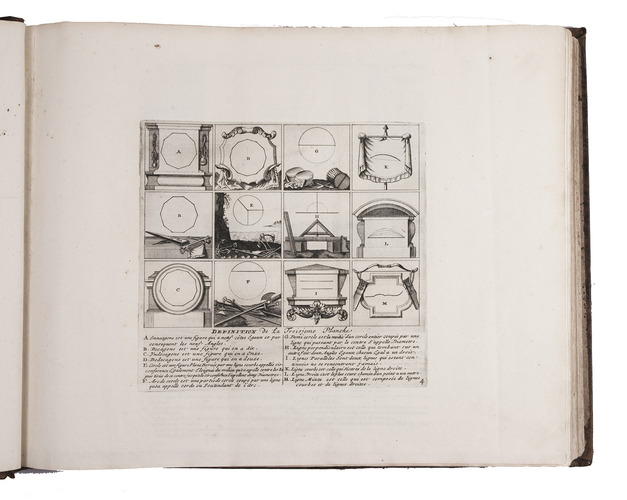
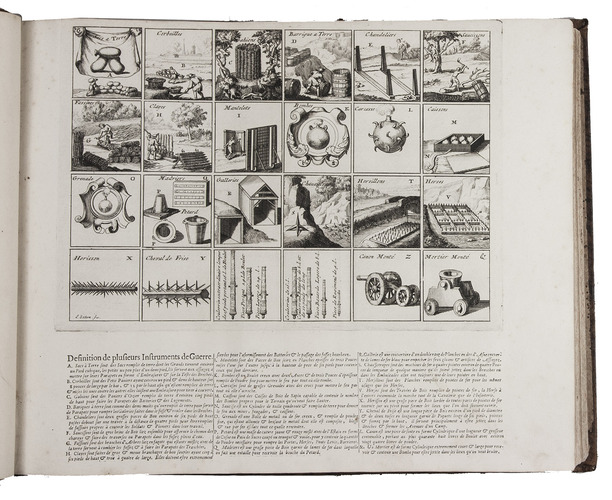
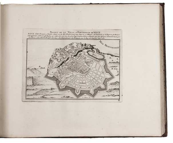
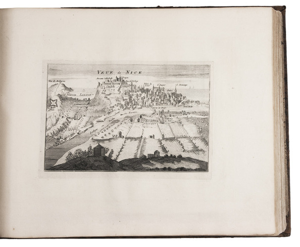
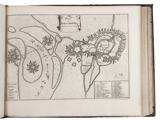
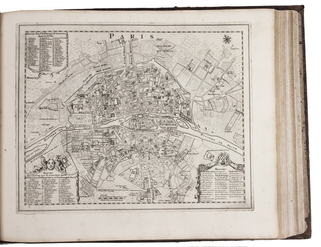
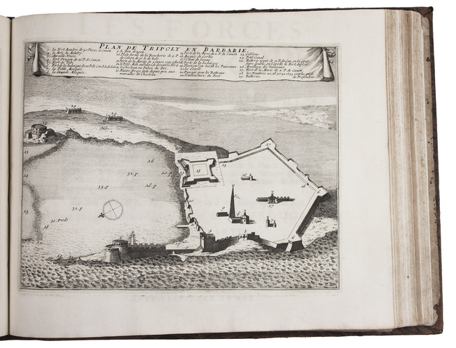
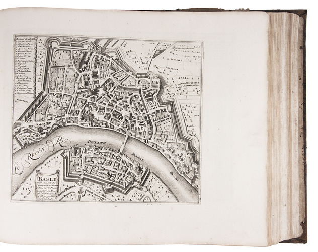
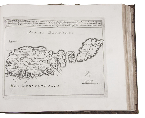
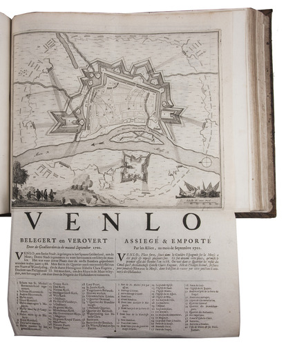
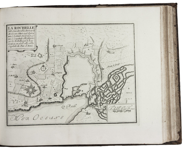
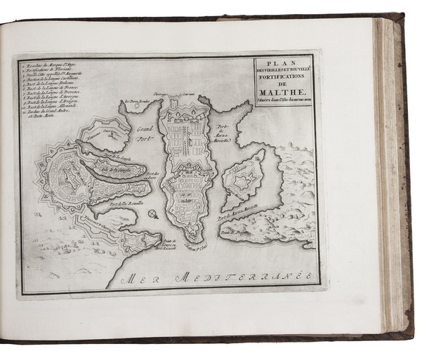
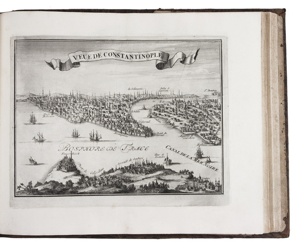
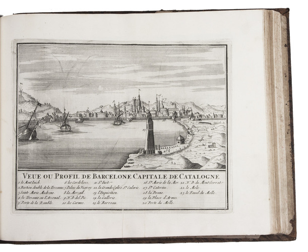
Ad 1: The atlas of fortified cities of Europe. Many of the plans show the work of the greatest 17th-century masters of the art and science of fortification, including Samuel Marolois, Simon Stevin and Sébastien Le Prestre de Vauban. The last two parts contain primarily smaller maps, printed 4 to the page.
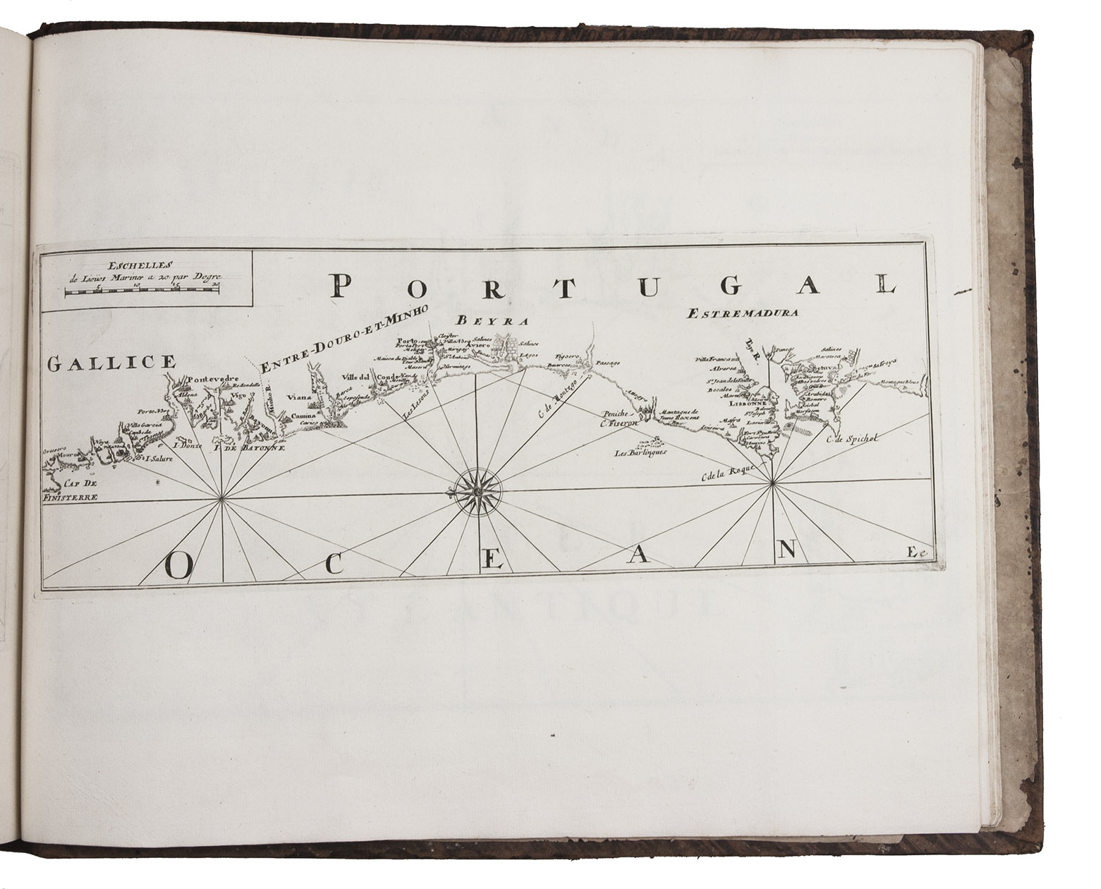
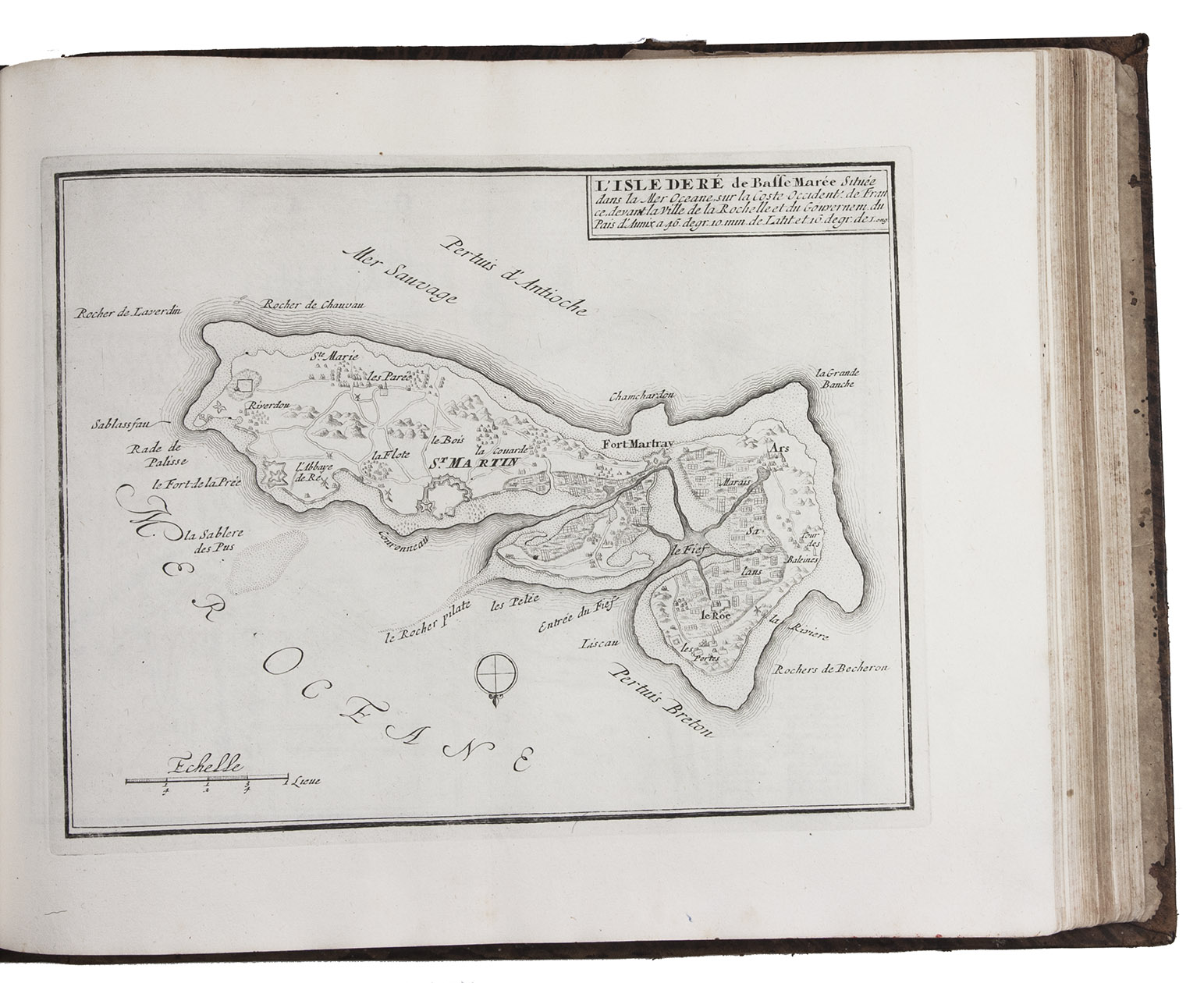
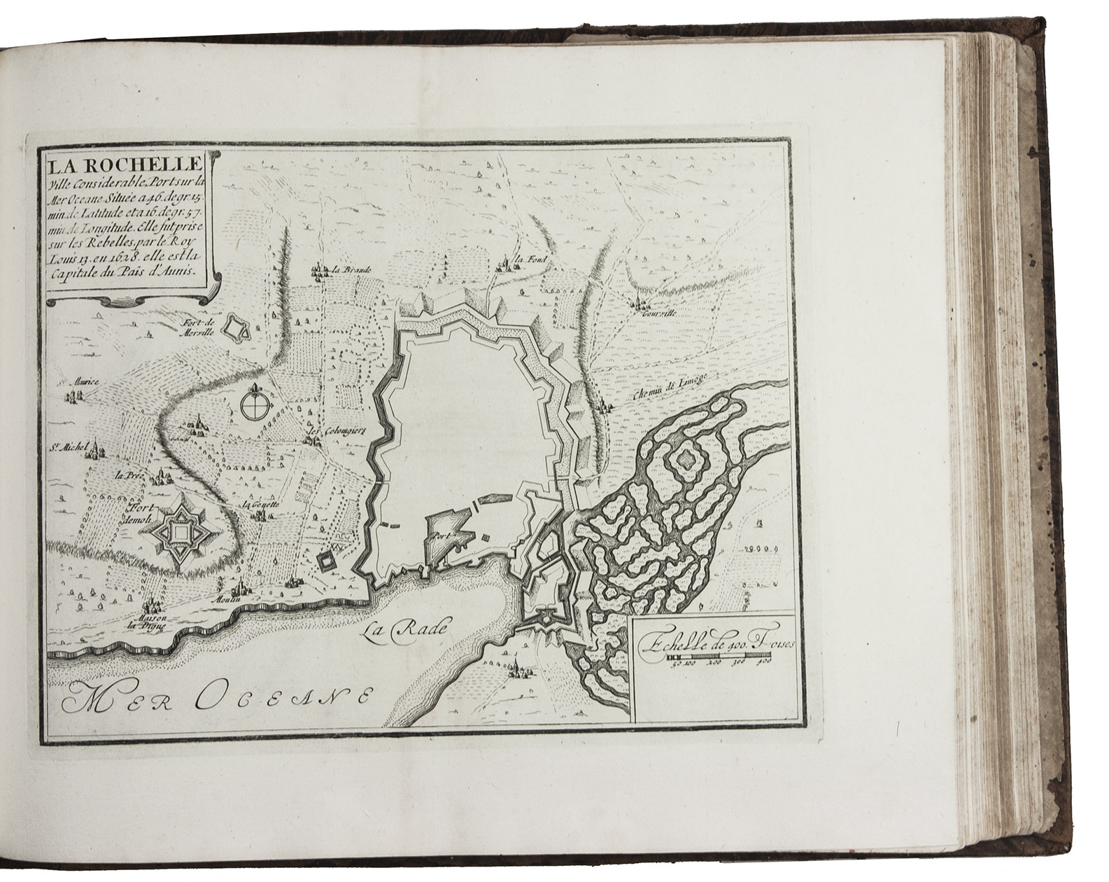
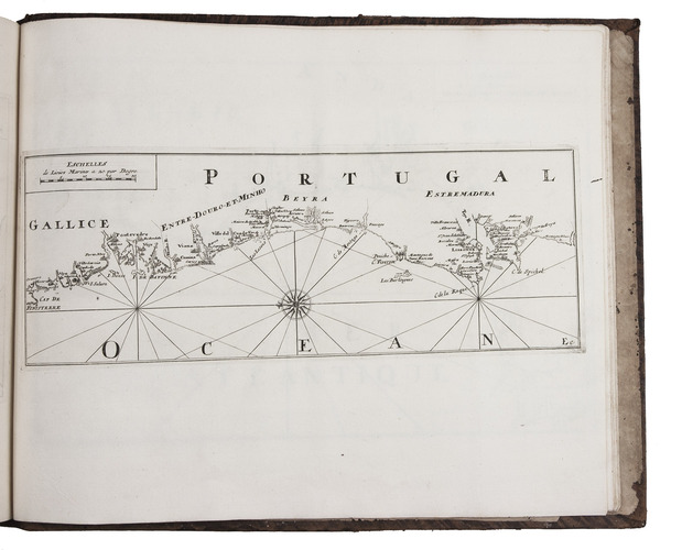
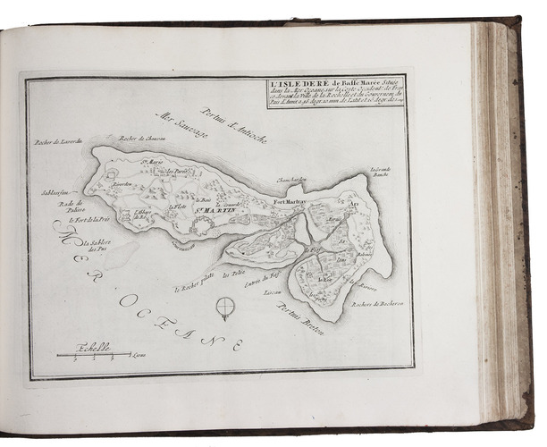
Ad 2: The maritime atlas of the coasts of France. It also shows the fortifications along the coasts, so it complements the fortifications atlas and was clearly designed to match it in format and style.
With the caption of one plate cut off and 2 plates and 1 letterpress title-page somewhat browned. Further in good condition. A couple plates are bound in the wrong volume. A splendid fortifications atlas. Ad 1: Muller, Historieplaten 3034a; cf. Pastoureau, Atlas français, IX A & H (pp. 203-209, 213); ad 2: Muller, Historieplaten 3034a; Pastoureau, Les atlas français XVIe-XVIIe siècles, Fer VIII B? (p. 203, cf. pp. 201-203).
Related Subjects: