GIETERMAKER, Klaas Hendriksz.
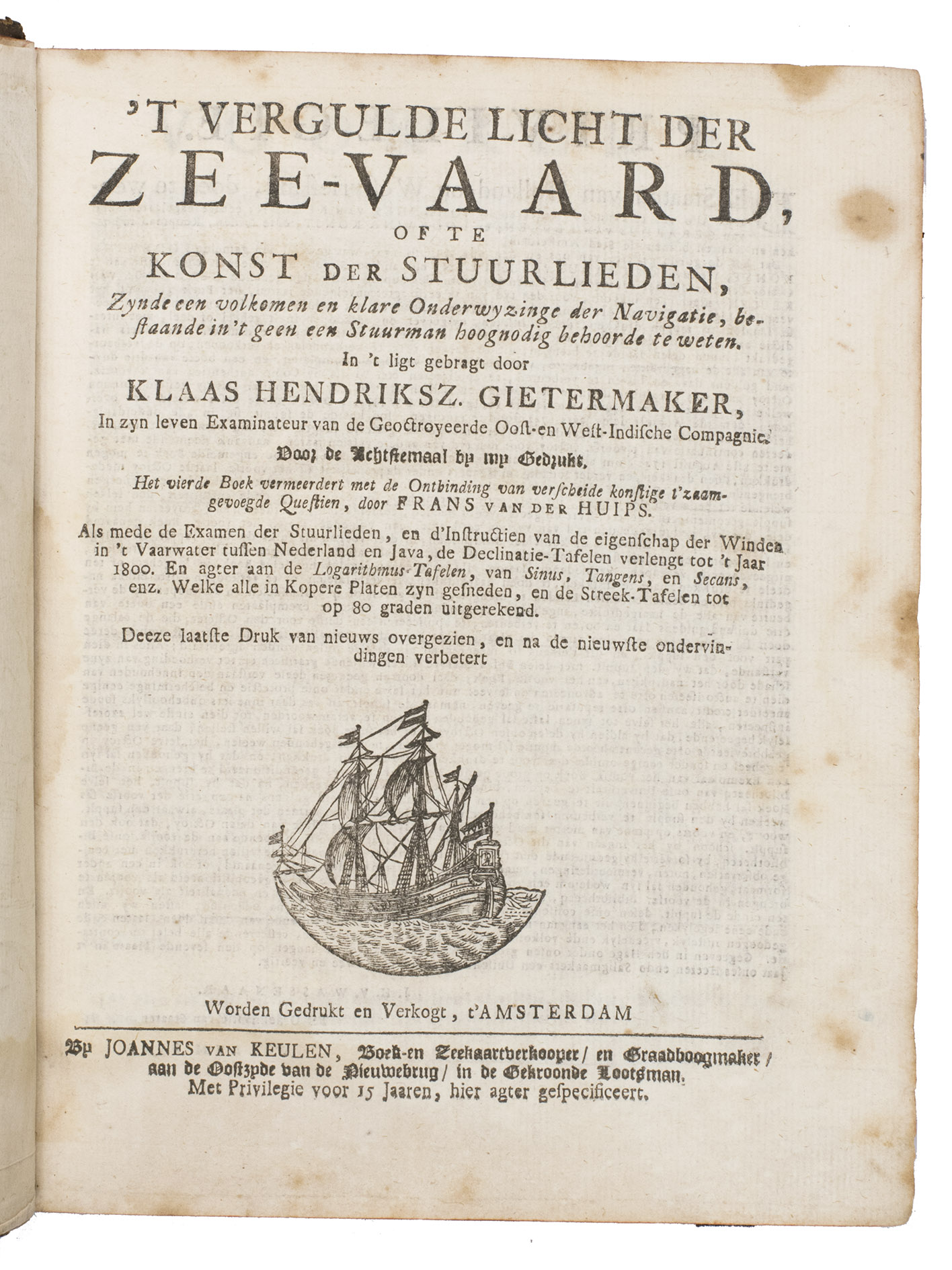
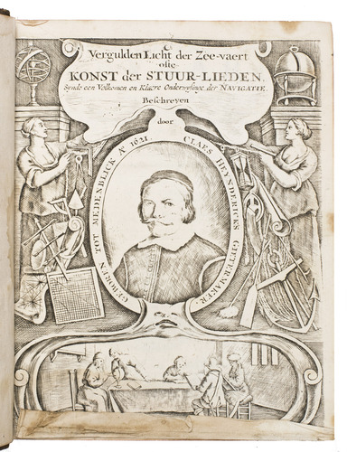
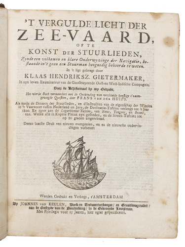
't Vergulde licht der zee-vaard, ofte konst der stuurlieden.
Amsterdam, Johannes II van Keulen [frontispiece: Gerard van Keulen], [not before 1742, ca. 1747?].
With:
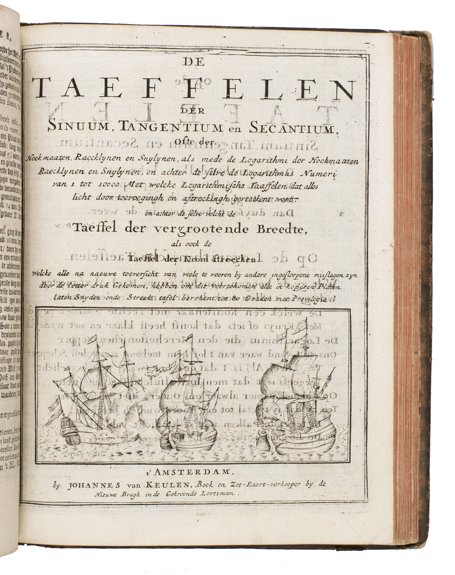
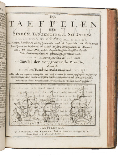
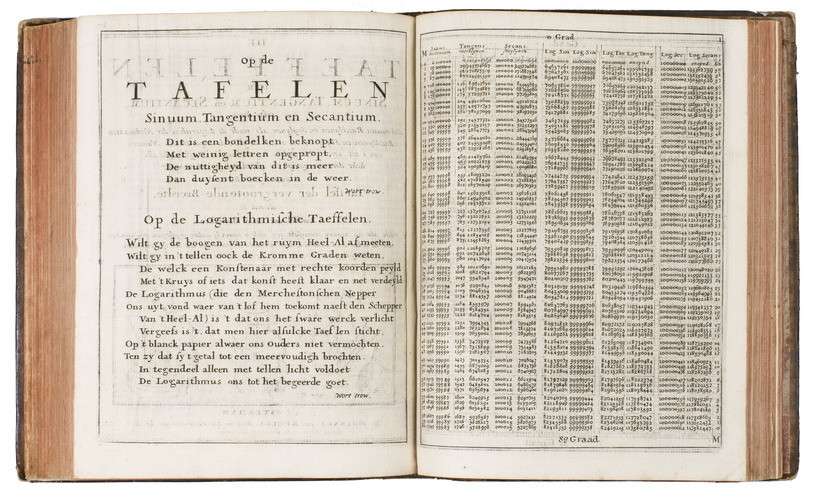
(2) [VOOGHT, Claas Jansz.]. De taeffelen der sinuum, tangentium en secantium, ofte der hoekmaaten, raecklijnen en snijlijnen.
Amsterdam, Johannes II van Keulen, [late 17th, early 18th century].
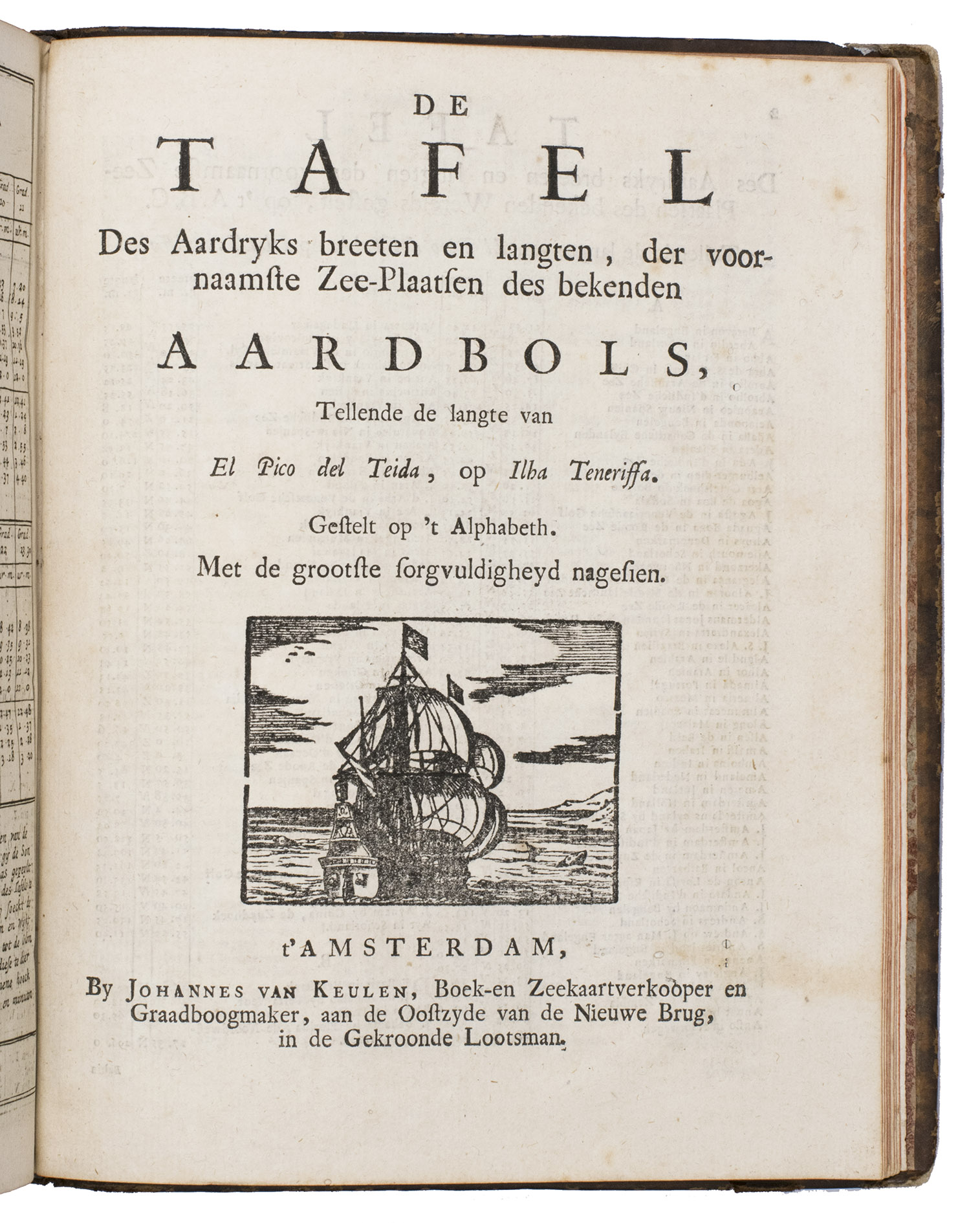
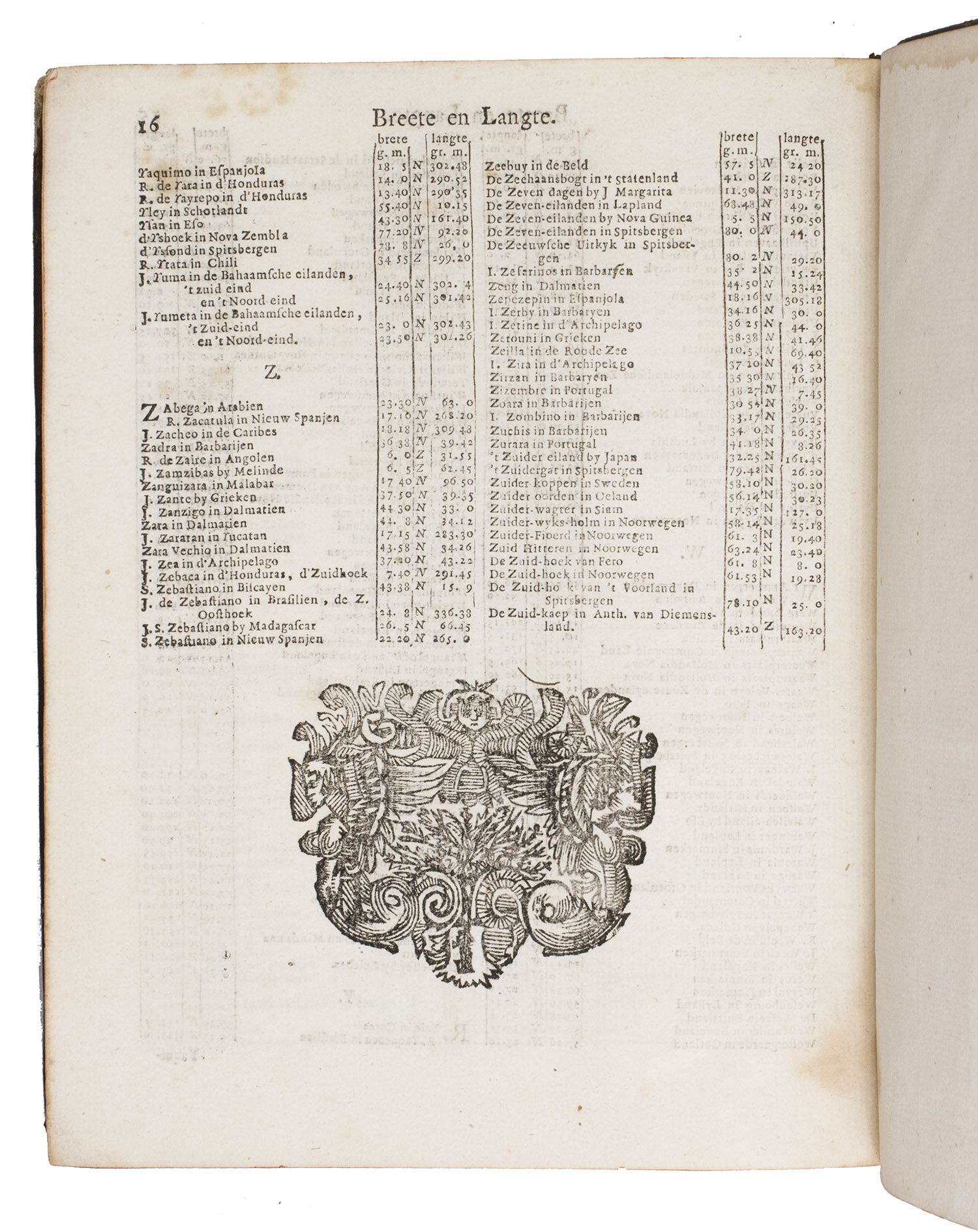
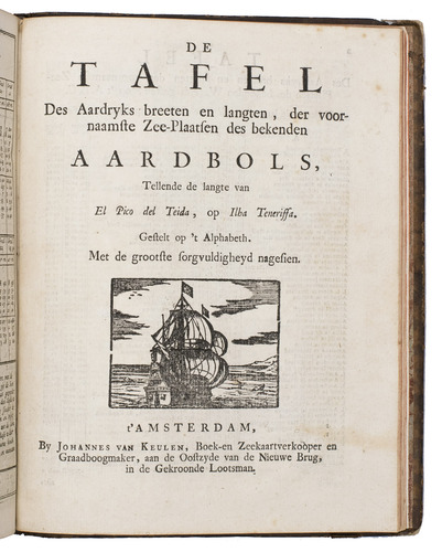
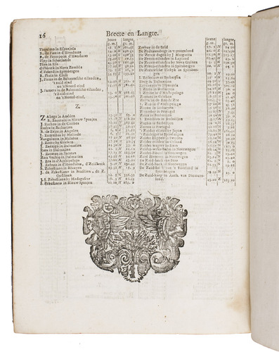
(3) [Drop-title:] De tafel des aardryks breeten en langten, der voornaamste zee-plaatsen des bekenden aardbols.
Amsterdam, Johannes II van Keulen, [late 17th or early 18th century].
3 works in 1 volume, the first in 4 parts. 4to. Contemporary gold-tooled mottled brown calf. [12], 106, [2]; 152, 8; 120; [2], 70, [66]; 16, [2 blank] pp.
€ 6,500
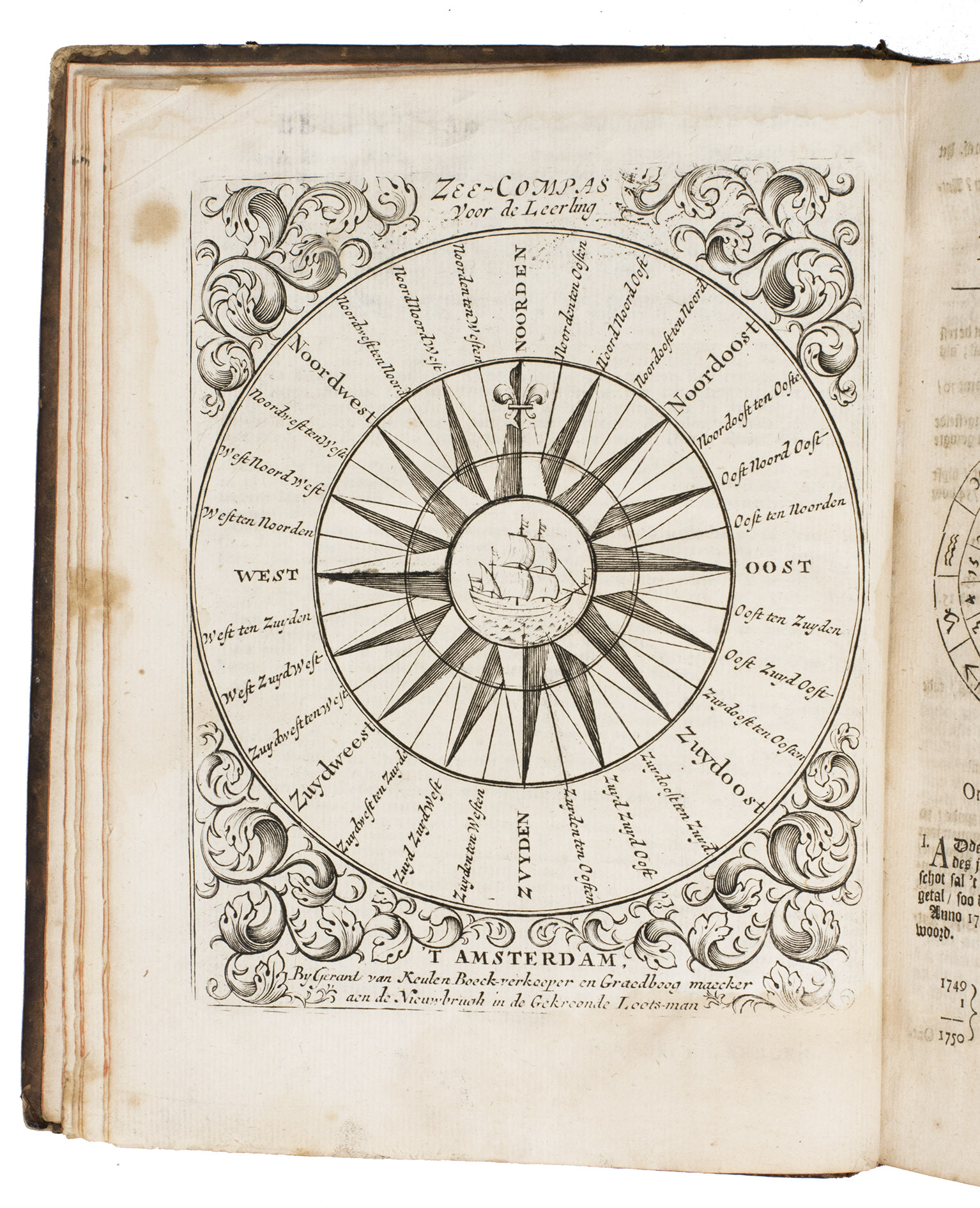
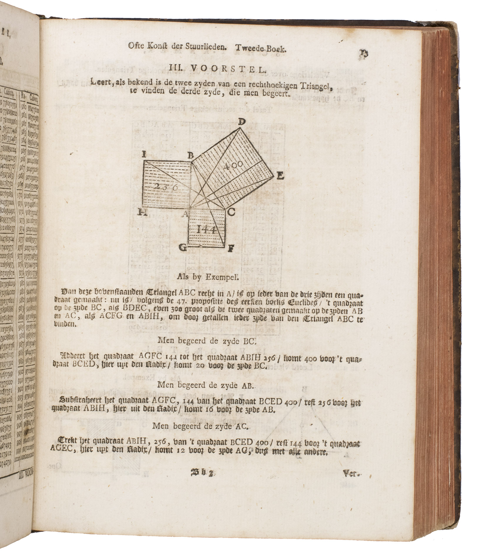
Rare, improved edition of probably the most popular work on the art of navigation, complete with the volvelles. It was intended for young sailors and explains everything aspiring mates and helmsmen had to know in order to pass their exams in navigation and steering. The work is quite rare, as any edition rarely appears on the market. It is usually combined with two other works on navigation and mathematics, which differ per edition. The third work added to the present edition appears to be very rare, as it has only been recorded in one other copy.
't Vergulde licht der zee-vaard was written by Dutch mathematician Klaas Hendriksz Gietermaker (1621-1699), who was employed as examiner for new helmsmen for the Dutch East India Company (VOC). He was a prolific author and wrote multiple works on the art of navigation, but the present work is considered to be his most important. It was first published in 1660 and stayed in use for almost 150 years. It was revised many times in order to provide the students with the most up-to-date information. Fourteen editions of it are known; the present copy is the 8th.
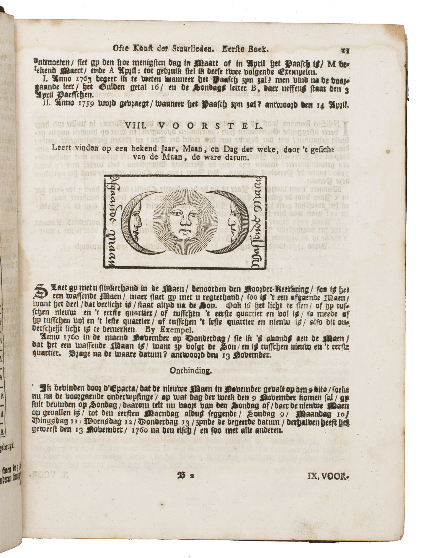
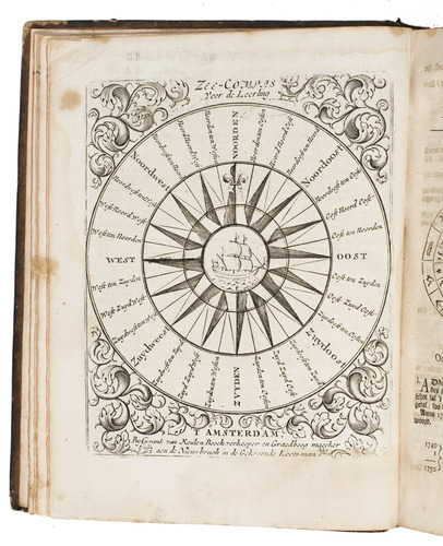
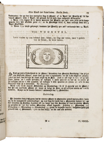
The work is richly illustrated with mathematical figures, tables, and images of navigational tools. It also includes two circular figures with volvelles, which help one determine when the tide will come in, or when the next new moon will be. The work also contains tables for the "difference in time between the sun and the moon", which give the exact time difference for every day of every month, for the years 1748-1759. The work is undated, but because the tables start with the year 1748, it was most likely printed in 1747. The second work in the compilation consists completely of engraved logarithmic tables, to help determine ones position, and the third work contains the longitudes and latitudes for important ports all over the world.
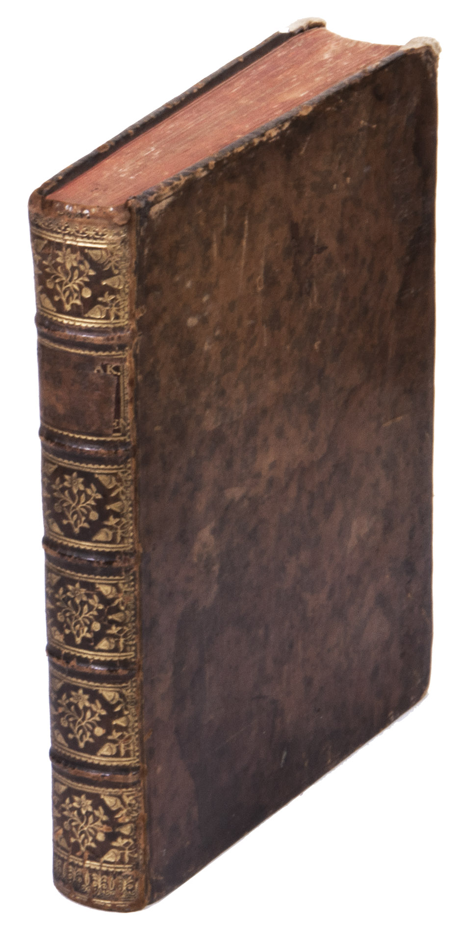
The bindings shows signs of wear, with some loss material of around the corners and edges, and a spot of white paint at the head of the back board, the morocco title label has almost completely disappeared. Internally somewhat browned, with (water) stains around the edges of some of the leaves, pages 27-30 in part 1 were bound in twice. Otherwise in good condition. Ad 1: Crone library 508; Hoogendoorn, GIE05.19.1; STCN 297008005 (3 copies); this edition not in Bierens de Haan. Ad 2: STCN 107282976 (14 copies); WorldCat 69359933 (2 copies); this edition not in Crone library; Hoogendoorn; Bierens de Haan. Ad 3: Crone library 493; STCN 297001035 (1 copy); WorldCat 1154808295 (1 copy); not in Hoogendoorn; Bierens de Haan.
Related Subjects: