
One of the great voyage collections
CHURCHILL, Awnsham and John CHURCHILL.
A collection of voyages and travels, some now first printed from original manuscripts, others translates out of foreign languages, and now first published in English.
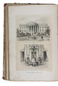
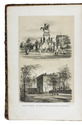
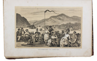
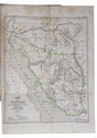
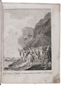
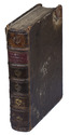
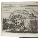
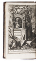
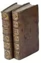
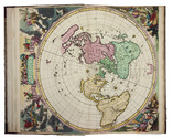
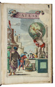
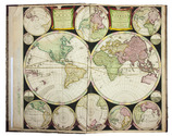
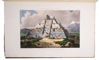
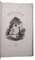
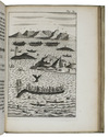
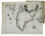
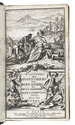
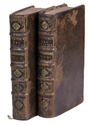
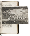
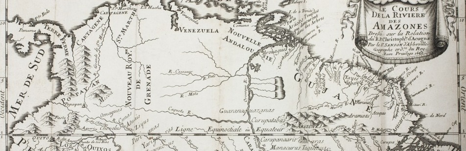
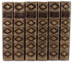
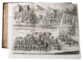
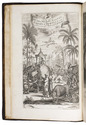
London, printed by assignment from Messrs Churchill, 1732. 6 volumes. Folio. With 164 engraved plates (folding, double-page and full-page), 2 portrait frontispieces, 2 engraved titles, numerous illustrations in text, and engraved arms of 28 named subscribers. Contemporary gold-tooled brown calf, with a red morocco title label on the spine. Full description
€ 30,000
London, printed by assignment from Messrs Churchill, 1732. 6 volumes. Folio. With 164 engraved plates (folding, double-page and full-page), 2 portrait frontispieces, 2 engraved titles, numerous illustrations in text, and engraved arms of 28 named subscribers. Contemporary gold-tooled brown calf, with a red morocco title label on the spine. Full description