
Detailed account of a commercial expedition to Senegal and Sierra-Leone, attractive copy with 18 engraved plates and 16 maps
DURAND, Jean-Baptiste-Léonard.
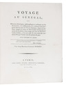
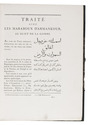
Voyage au Sénégal, ou mémoires historiques, philosophiques et politiques sur les découvertes, les établissemens et le commerce des Européens dans les mers de l'Océan Atlantique, depuis le Cap-Blanc jusqu'à la rivière de Serre-Lionne inclusivement; suivis de la relation d'un voyage par terre de l'île Saint-Louis à Galam, et du texte arabe de trois traités de commerce faits par l'auteur avec les princes de pays.
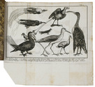
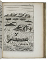
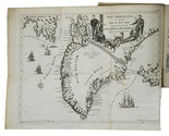
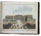
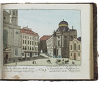
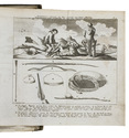
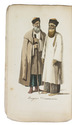
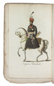
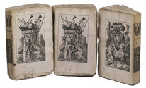
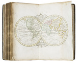
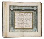
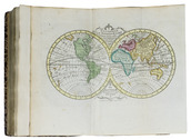
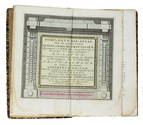
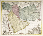
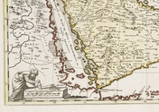
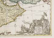
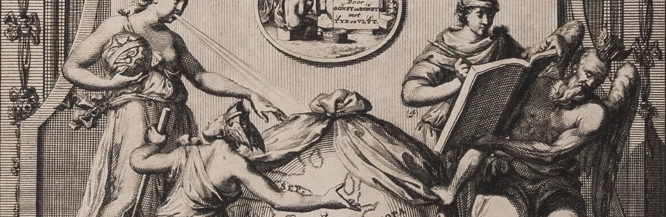
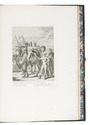
Paris, Henri Agasse, 1802. 2 volumes (1 text and 1 atlas). 4to. Atlas with an engraved portrait of Léonard Durand, 16 double-page engraved maps (mostly folding) and 27 engraved plates. Modern dark green half morocco, gold-tooled spine, upper edges gilt. [4], XXXII, 420; VIII, [4], 68 [1 blank] pp. Full description
€ 6,500
Paris, Henri Agasse, 1802. 2 volumes (1 text and 1 atlas). 4to. Atlas with an engraved portrait of Léonard Durand, 16 double-page engraved maps (mostly folding) and 27 engraved plates. Modern dark green half morocco, gold-tooled spine, upper edges gilt. [4], XXXII, 420; VIII, [4], 68 [1 blank] pp. Full description