
The first English edition of a famous biography of the fourth Portuguese viceroy of India

FREIRE DE ANDRADE, Jacinto and Peter WYCHE (translator).
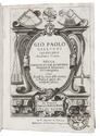
The life of Dom John de Castro, the fourth Vice-Roy of India. Wherein are seen the Portuguese's voyages to the East-Indies; their discoveries and conquests there; the form of government, commerce, and discipline of warr[!] in the East, and the topography of all India and China. Containing also a particular relation of the most famous siege of Dio, with a map to illustrate it.
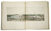
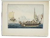
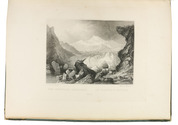
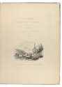
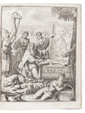
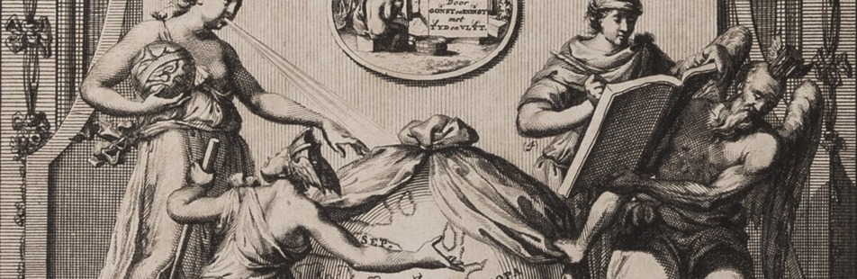
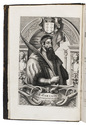
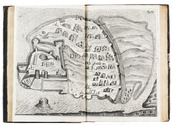
London, Henry Herringman, 1664. Folio. With a full-page engraved portrait of D. João de Castro, the fourth viceroy of India as a frontispiece, signed "W. Faithorne sculp.", one full-page engraved illustration of the shrine of St. Thomas in Meliapor - including its inscriptions in Sanskrit - which already existed at the time of the Portuguese arrival in India, and one double page engraved map (view) of Diu and its fortress. Contemporary blind-tooled calf. [1], [1 blank], [18], 272, [19], [1 blank] pp. Full description
€ 16,500
London, Henry Herringman, 1664. Folio. With a full-page engraved portrait of D. João de Castro, the fourth viceroy of India as a frontispiece, signed "W. Faithorne sculp.", one full-page engraved illustration of the shrine of St. Thomas in Meliapor - including its inscriptions in Sanskrit - which already existed at the time of the Portuguese arrival in India, and one double page engraved map (view) of Diu and its fortress. Contemporary blind-tooled calf. [1], [1 blank], [18], 272, [19], [1 blank] pp. Full description