
A rare guide to Moscow, with 8 plates
LECOINTE DE LAVEAU, Georges.
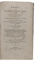
Guide du voyageur à Moscou, contenant ce que cette capitale offre de curieux et d'intéressant...
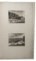
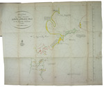
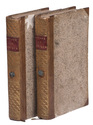
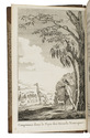
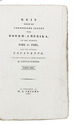
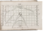
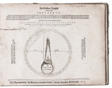
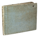
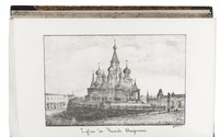
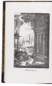
Moscow, August Semen, 1824. 8vo. With lithographed frontispiece, 7 lithographed plates, 4 folding tables, and several tables in the text. Contemporary gold-tooled, half purple sheepskin, spine faded to brown, marbled sides and edges. [4], VI, 11-459, [1] pp. Full description
€ 2,250
Moscow, August Semen, 1824. 8vo. With lithographed frontispiece, 7 lithographed plates, 4 folding tables, and several tables in the text. Contemporary gold-tooled, half purple sheepskin, spine faded to brown, marbled sides and edges. [4], VI, 11-459, [1] pp. Full description