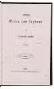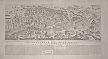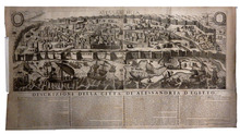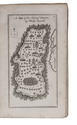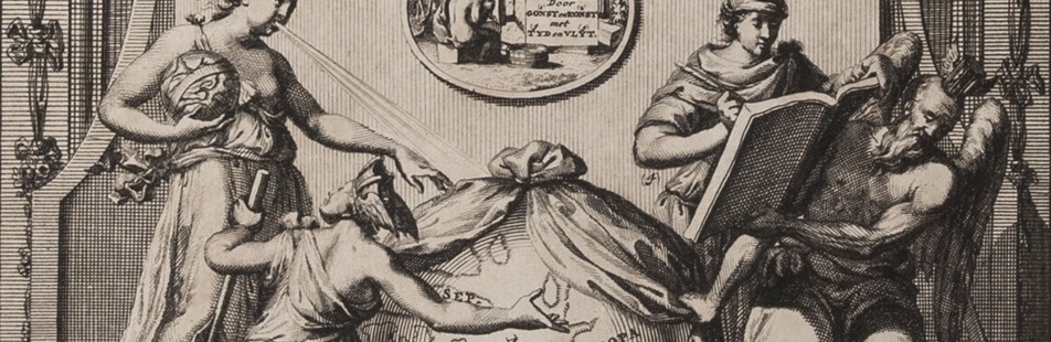

Treatise on a posthumously published map of the Holy Land
L'ISLE (DELISLE), Joseph-Nicolas de.
Memoire sur la carte de l'ancienne Palestine ou de la Terre Sainte.
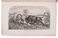
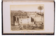
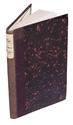
Paris, Chez l'auteur, 1763. 4to. With woodcut vignette on title-page and a large woodcut headpiece. Modern brown half calf, richly gold-tooled spine. 21 pp. Full description
€ 2,500
Paris, Chez l'auteur, 1763. 4to. With woodcut vignette on title-page and a large woodcut headpiece. Modern brown half calf, richly gold-tooled spine. 21 pp. Full description