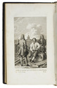
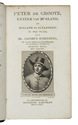
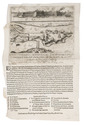
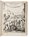
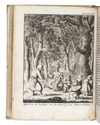
Dutch translation of an important work on Lapland, with 17 engraved plates by Jan Luyken
SCHEFFER, Johannes Gerhard.
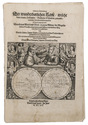
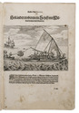
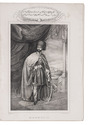
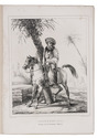
Waarachtige en aen-merkens-waardige historie van Lapland: ... Met noch een kort bericht van den toestand der Finnen.
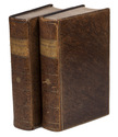
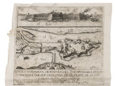
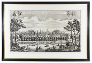
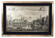
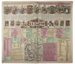
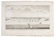
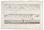
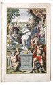
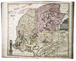
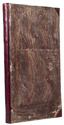
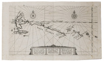
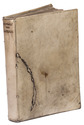
Amsterdam, Jan ten Hoorn, 1682. 4to. With engraved frontispiece and 16 engraved plates by Jan Luyken, and 1 folding engraved map. Contemporary vellum. [6], 99; 146; 73, [7] pp. Full description
€ 3,500
Amsterdam, Jan ten Hoorn, 1682. 4to. With engraved frontispiece and 16 engraved plates by Jan Luyken, and 1 folding engraved map. Contemporary vellum. [6], 99; 146; 73, [7] pp. Full description