
Arabic travel account from the early Abbasid era, concerning China and India: rare English edition
SULAYMAN AL-TAJIR and ABU ZAID HASAN IBN YAZID, AL-SIRAFI. (Eusèbe RENAUDOT, editor).
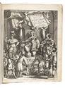
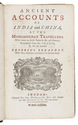
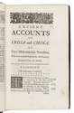
[Silsilat al-tawarik - English]. Ancient accounts of India and China, by two Mohammedan travellers, who went to those parts in the 9th century.
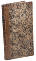
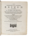
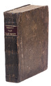
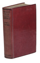
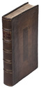
London, Samuel Harding, 1733. 8vo (ca. 12 x 20 cm). With a wood-engraved printer's device and the half-title-page and title-page printed in red and black. Contemporary blind-tooled panelled calf, sewn on 6 supports creating 6 compartments on the gold-tooled spine. With a red morocco title-label lettered in gold on the spine, red sprinkled edges. XXXVII, (1), 260, VII pp. Full description
€ 28,000
London, Samuel Harding, 1733. 8vo (ca. 12 x 20 cm). With a wood-engraved printer's device and the half-title-page and title-page printed in red and black. Contemporary blind-tooled panelled calf, sewn on 6 supports creating 6 compartments on the gold-tooled spine. With a red morocco title-label lettered in gold on the spine, red sprinkled edges. XXXVII, (1), 260, VII pp. Full description