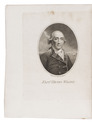

Over 200 scientific articles on Western & Central Asia and India, bound in 107 volumes
[JOURNALS – WESTERN AND CENTRAL ASIA; INDIA], Olaf CAROE, Aurel STEIN, Richard TEMPLE, Francis YOUNGHUSBAND et al.
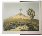
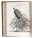
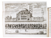
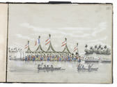
[Large collection of journal articles about the scientific exploration of Western and Central Asia and India].Including:
- Journal of the Royal Asiatic Society.
- Geographical Journal.
- Journal of the Asiatic Society of Bengal.
- Journal of the Royal Central Asian Society.
- Journal of the Royal Geographical Society.
- Transactions of the Bombay Geographical Society.
- National Geographic.
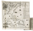
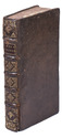
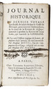
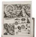
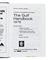
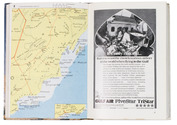
Various places, a.o. London and Calcutta, various publishers, 1837-1981. 107 volumes, many containing multiple articles. 8vo. Some illustrated with plates and maps. Half calf with marbled sides and gilt lettering on spine or cloth with marbled sides and label on spine. Full description
€ 35,000
- Journal of the Royal Asiatic Society.
- Geographical Journal.
- Journal of the Asiatic Society of Bengal.
- Journal of the Royal Central Asian Society.
- Journal of the Royal Geographical Society.
- Transactions of the Bombay Geographical Society.
- National Geographic.
Various places, a.o. London and Calcutta, various publishers, 1837-1981. 107 volumes, many containing multiple articles. 8vo. Some illustrated with plates and maps. Half calf with marbled sides and gilt lettering on spine or cloth with marbled sides and label on spine. Full description