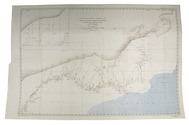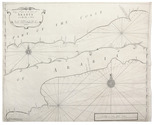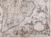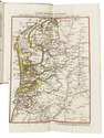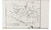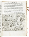

19th-century map of Arabia and Persia
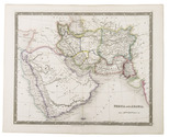
TEESDALE, Henry.
Persia and Arabia.
London, 1847. Engraved map (41 x 33 cm), hand-coloured in outline. Full description
€ 750
London, 1847. Engraved map (41 x 33 cm), hand-coloured in outline. Full description