
Beautiful atlas of the Land van Voorne, in full contemporary colour
DIJCK (DYCK), Heyman van.
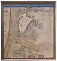
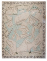
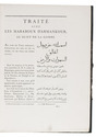
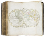
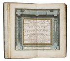
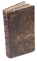
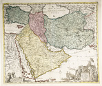
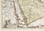
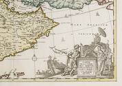
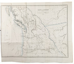
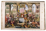
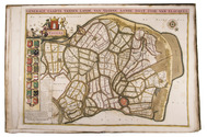
Voorne caart-boeck van alle de dorpen, en polders gelegen inden lande van Oost, ende West Voorne, mitsgaders over Flacquée.
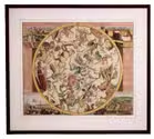
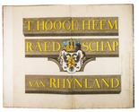
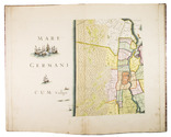
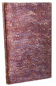
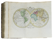
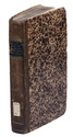
[Netherlands, ca. 1701]. Imperial folio (ca. 55 x 38 cm). Etched double-page title-page by Romeyn de Hooghe, dated "1701", and 32 engraved double-page maps (numbered I- VI, A-F and 1-9) engraved by Jan Stemmers and etched by Jan and Caspar Luyken after drawings by A. Steyaart, all in beautiful contemporary colouring. Contemporary red half sheepskin. Full description
€ 25,000
[Netherlands, ca. 1701]. Imperial folio (ca. 55 x 38 cm). Etched double-page title-page by Romeyn de Hooghe, dated "1701", and 32 engraved double-page maps (numbered I- VI, A-F and 1-9) engraved by Jan Stemmers and etched by Jan and Caspar Luyken after drawings by A. Steyaart, all in beautiful contemporary colouring. Contemporary red half sheepskin. Full description