
British colour-printed aerial maps of Iraq for use in the Persian war
[MAPS - IRAQ].
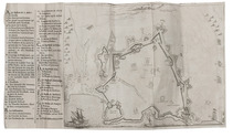
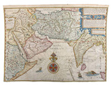
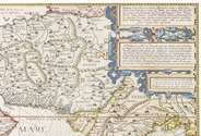
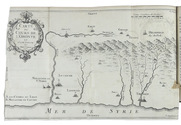
[Reconnaissance maps of Iraq].
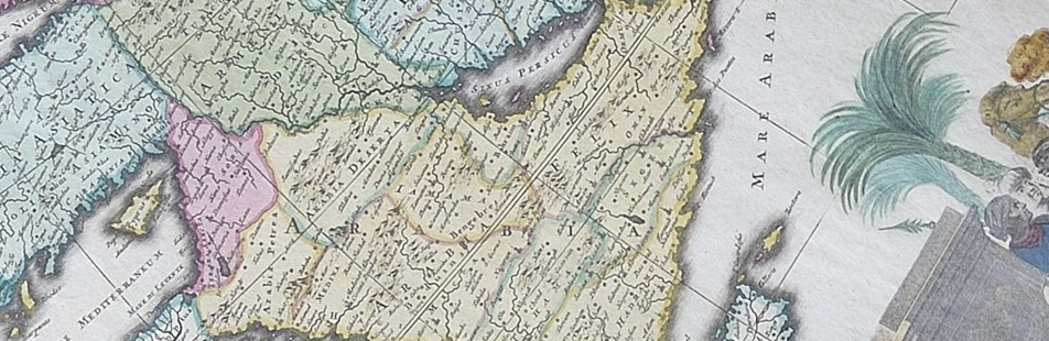
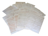
[UK Government], Survey Directorate HQ Tenth Army / Indian Field Survey Co., 1942 42 chromolithographed topographic maps of parts of Iraq, made from aerial photographs during World War II, on a scale of 1:100,000 and 1:253,440 (a quarter-inch to a mile). 68 x 50.5 cm & 60 x 47 cm. Full description
€ 6,500
[UK Government], Survey Directorate HQ Tenth Army / Indian Field Survey Co., 1942 42 chromolithographed topographic maps of parts of Iraq, made from aerial photographs during World War II, on a scale of 1:100,000 and 1:253,440 (a quarter-inch to a mile). 68 x 50.5 cm & 60 x 47 cm. Full description