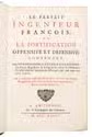
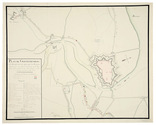
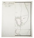
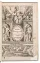
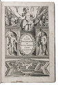
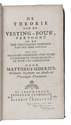
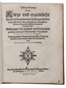
MAROLOIS, Samuel.
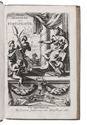
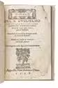
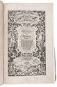
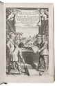
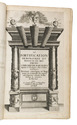
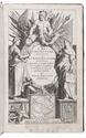
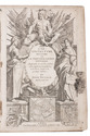
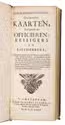
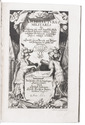
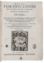
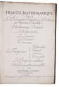
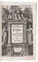
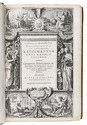
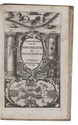
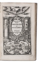
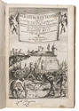
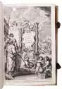
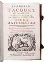
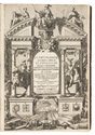
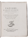
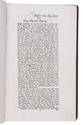
Mathematicum opus absolutissimum: continens geometriae, fortificationis, architecturae & perspectivae theoreticae ac practicae regulas, demonstrationes, & figuras perfectissimas. Studio atque opera Alberti Girardi, ... Recognitum ac multis notis illustratum.
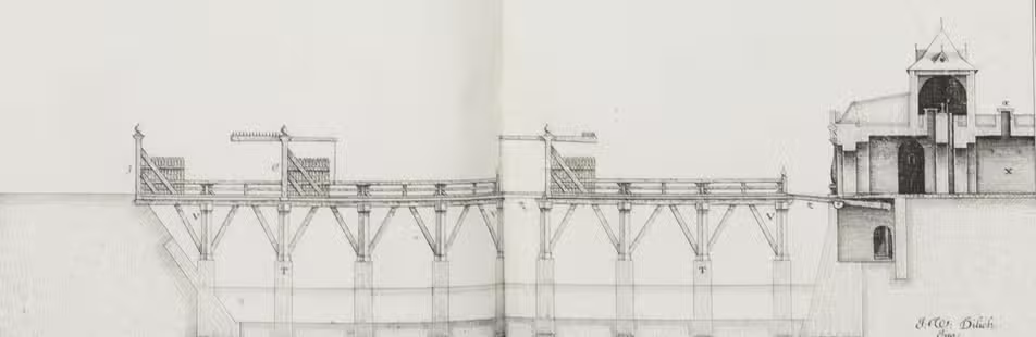
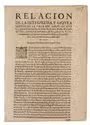
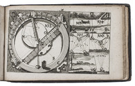
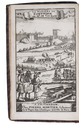
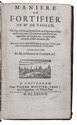
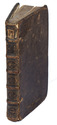
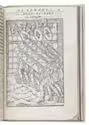
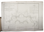
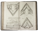
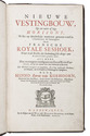
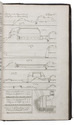
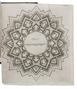
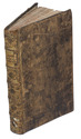
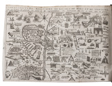
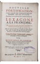
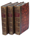
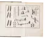
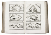
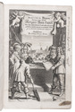
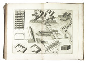
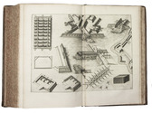
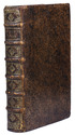
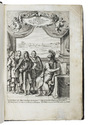
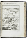
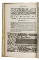
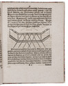
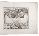
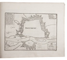
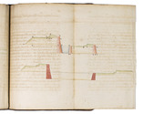
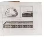
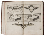
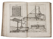
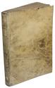
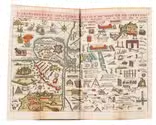
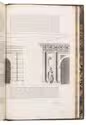
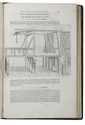
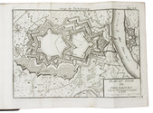
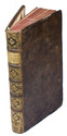
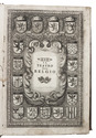
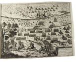
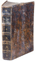
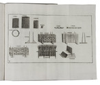
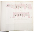
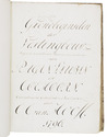
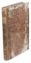
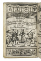
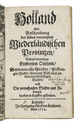
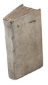
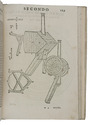
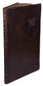
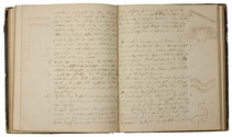
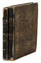
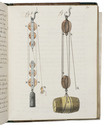
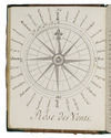
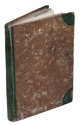
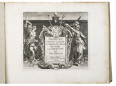
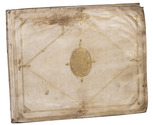
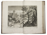
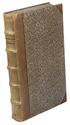
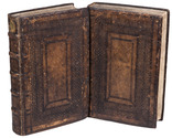
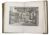
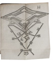
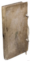
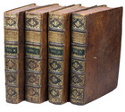
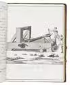
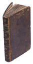
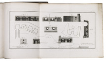
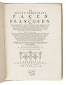
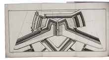
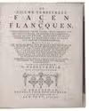
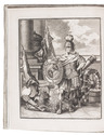
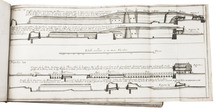
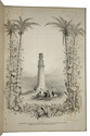
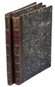
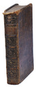
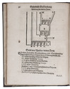
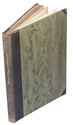
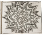
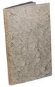
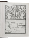
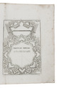
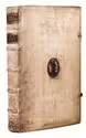
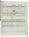
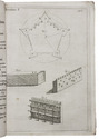
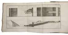
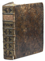
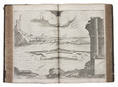
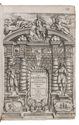
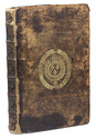
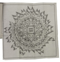
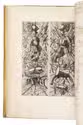
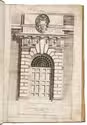
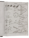
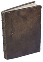
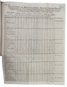
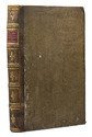
Amsterdam, Johannes Janssonius, 1638 [altered in manuscript to 1658]. 7 parts (paginated as 6) in 2 volumes. Folio. The general title printed letterpress on a slip of paper pasted over the 1638 engraved title-page of the French edition, 7 letterpress part-titles, each with the same Janssonius woodcut device, with all together 271 double-page engraved plates, partly by Henricus Hondius. Further with several woodcut decorated initials. Contemporary blind-tooled calf, sewn on 5 double thongs, in a panel design made with a large roll and triple fillets, new endpapers.
With:
(2) MAROLOIS, Samuel. Geometria theoretica ac practica: ...
Amsterdam, Joh. Janssonius, 1633. With 47 double-page engraved plates, numbered 1-42 and 1-5.
(3) MAROLOIS, Samuel.. Artis muniendi, sive fortificationis, pars prima: ...
Amsterdam, Joh. Janssonius, 1644.
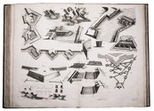
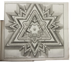
(4) MAROLOIS, Samuel.. Fortificationis, sive artis muniendi, pars secunda.
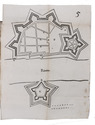
Amsterdam, Joh. Janssonius,1644. With 40 double-page engraved plates.
(5) VREDEMAN DE VRIES, Joannis. Architectura: ...
Amsterdam, Joh. Janssonius,1633. With 30 double-page engraved plates by Henricus Hondius after the designs by Vredeman de Vries, one dated 1601.
(6) MAROLOIS, Samuel. Opticae, sive perspectivae, pars prima: ...
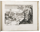
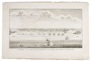
Amsterdam, Joh. Janssonius 1633. With 80 double-page engraved plates, some by Henricus Hondius, incl. 6 views of buildings in Rome (nos. 54-59) in roundels, after the drawings by Petrus Stephanus.
(7) VREDEMAN DE VRIES, Joannis. Perspectiva theoretica ac practica.
Amsterdam, Joh. Janssonius, 1633.
(8) VREDEMAN DE VRIES, Joannis. Perspectivae pars II: ...
Amsterdam, Joh. Janssonius, 1632. With 49, 24 (+ 1) numbered double-page engraved plates depicting geometrical and mathematical figures on perspective. [4], 51, [1 blank]; 39, [1 blank]; 40; [20]; [2], 50; [2], 24 pp.
Full description