
Illustrated edition of Beechey's famous Pacific voyage, including an Eskimo vocabulary
BEECHEY, Frederick William.
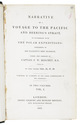
Narrative of a voyage to the Pacific and Beering's Strait...
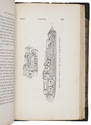
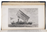
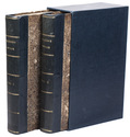
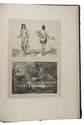
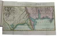
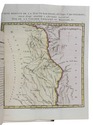
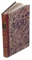
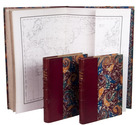
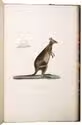
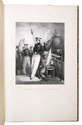
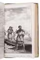
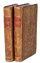
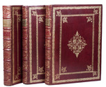
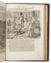
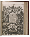
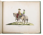
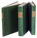
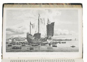
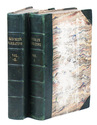
London, Henry Colburn & Richard Bentley, 1831. 2 volumes. Large 8vo. With 3 lithographed maps (2 large folding), 20 engraved plates, 3 two-page folding plates, and 1 engraved illustration in the text. Contemporary half green morocco, marbled sides, gold-tooled title on spine, marbled edges. XXVI, [1], [1 blank], 472; IV, 330, [1], 331-452 pp. Full description
€ 1,250
London, Henry Colburn & Richard Bentley, 1831. 2 volumes. Large 8vo. With 3 lithographed maps (2 large folding), 20 engraved plates, 3 two-page folding plates, and 1 engraved illustration in the text. Contemporary half green morocco, marbled sides, gold-tooled title on spine, marbled edges. XXVI, [1], [1 blank], 472; IV, 330, [1], 331-452 pp. Full description