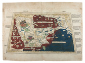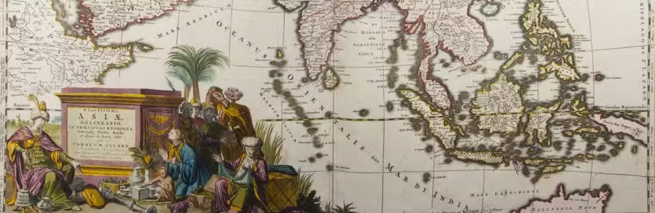

19th-century Java described
PFYFFER ZU NEUECK, Joseph Jacob Xaver.
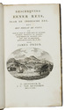
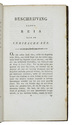
Esquisses de l'ile de Java et de ses divers habitants, recueillies pendant un séjour de huit années fait dans cette île; ... traduit de l'Allemand par Girodz du Villard, revu et mis en ordre par G. Guénot Lecointe.
Brussels, P.J. Voglet for Société Belge de Librairie, Hauman, Cattoir and company, 1837. 12mo. Modern grained brown half calf preserving the original lithographed wrappers, partly uncut. [4], III, [1 blank], XV, [1 blank], 239, [1 blank] pp. Full description
€ 2,950
Brussels, P.J. Voglet for Société Belge de Librairie, Hauman, Cattoir and company, 1837. 12mo. Modern grained brown half calf preserving the original lithographed wrappers, partly uncut. [4], III, [1 blank], XV, [1 blank], 239, [1 blank] pp. Full description