
Interesting account of an exploration journey to India and Southeast Asia
DELESSERT, Adolphe.
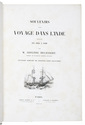
Souvenirs dun voyage dans lInde execute de 1834 a 1839. Ouvrage enrichi de trente-cinq planches.
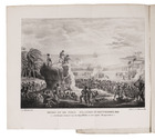
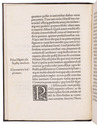
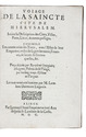
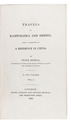
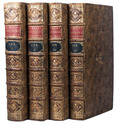
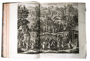
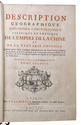
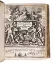
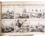
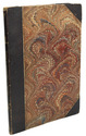
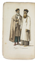
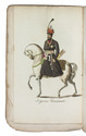
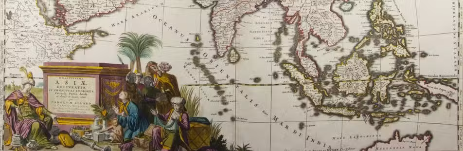
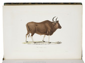
Paris, Fortin, Masson et Cie & Langlois et Leclercq (facing title-page: printed by Béthune et Plon), 1843. 2 parts in 1 volume. Large 8vo. With engraved title-vignette signed by A. Vien, 8 lithographed plates in the first part by V. Dolet showing Ile Bourbon, Pondichéry, Malacca, Chase au tigre, Madras, a bivouac and Chûte de la Rivière de Gutpurba; 27 numbered full-page engraved plates in the natural history part by Forget, Annedouche, Sebin, Mme. Douliot, Bourgeois, Giraud, Davesne and Dumesnil after Jean Gabriel Prêtre, Delahaye, Mme Bury and Vaillant of mammals, birds, insects and butterflies, 24 of which are exquisitely coloured by hand by "Gérard". Also with one folded map (43 x 44 cm) of the world (except for the Americas) with Delessets journey marked, coloured in outline and printed by Kaeppelin, Paris. Half calf, decorated paper sides. [6], III, 134; [4], 107 pp. Full description
€ 3,500
Paris, Fortin, Masson et Cie & Langlois et Leclercq (facing title-page: printed by Béthune et Plon), 1843. 2 parts in 1 volume. Large 8vo. With engraved title-vignette signed by A. Vien, 8 lithographed plates in the first part by V. Dolet showing Ile Bourbon, Pondichéry, Malacca, Chase au tigre, Madras, a bivouac and Chûte de la Rivière de Gutpurba; 27 numbered full-page engraved plates in the natural history part by Forget, Annedouche, Sebin, Mme. Douliot, Bourgeois, Giraud, Davesne and Dumesnil after Jean Gabriel Prêtre, Delahaye, Mme Bury and Vaillant of mammals, birds, insects and butterflies, 24 of which are exquisitely coloured by hand by "Gérard". Also with one folded map (43 x 44 cm) of the world (except for the Americas) with Delessets journey marked, coloured in outline and printed by Kaeppelin, Paris. Half calf, decorated paper sides. [6], III, 134; [4], 107 pp. Full description