
2nd known copy of the only Antwerp edition (1652) of Colom’s 1635 atlas of the Low Countries
[ATLAS - LOW COUNTRIES]. [COLOM, Jacob Aertsz.].
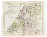
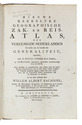
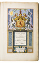
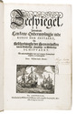
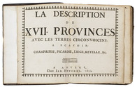
La description de XVII. Provinces, avec les Terres Circonvoicins, a Scavoir Champagnie, Picardie, Liege, Retelle, &c.
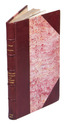
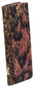
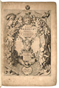
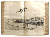
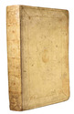
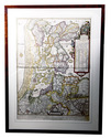
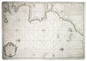
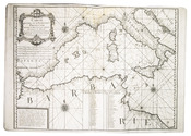
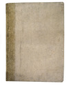
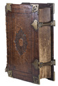
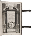
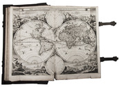
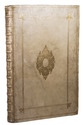
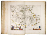
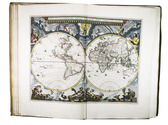
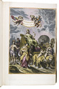
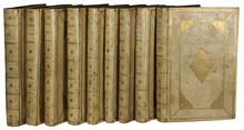
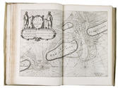
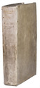
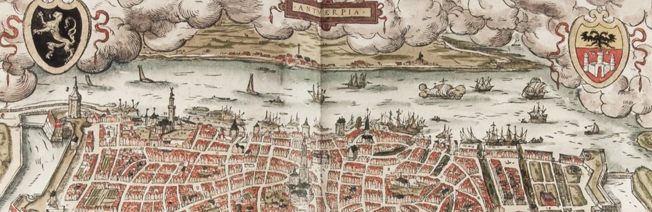
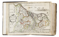
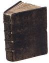
Antwerp, Jan Huyssens, 1652. 4to (18 x 14.5 cm). With a double-page letterpress title-page, with a frame built up from typographic ornaments, and 39 unnumbered double-page engraved maps of the northern and southern Low Countries by Jacob Aertsz. Colom, each map coloured in outline. Interleaved with 38 blank leaves and with a manuscript table of contents ([3], [3 blank] pp.) at the end. Later 17th-century mottled calf. Double-page title-page and 39 double-page maps. Full description
€ 4,950
Antwerp, Jan Huyssens, 1652. 4to (18 x 14.5 cm). With a double-page letterpress title-page, with a frame built up from typographic ornaments, and 39 unnumbered double-page engraved maps of the northern and southern Low Countries by Jacob Aertsz. Colom, each map coloured in outline. Interleaved with 38 blank leaves and with a manuscript table of contents ([3], [3 blank] pp.) at the end. Later 17th-century mottled calf. Double-page title-page and 39 double-page maps. Full description