
Attractive atlas of the Seventeen Provinces, complete with all maps and plates
COLOM, Jacob Aertsz.
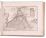
De vyerighe colom klaer vertoonende in vyftich onderscheydene curieuse caarten de XVII Nederlantsche provincien, alsmede de hartogen, houtvesters en graven van Vlaenderen, Hollandt ende Zelandt. Met desselfs beschryving.
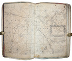
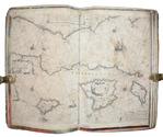
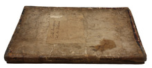
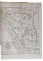
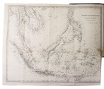
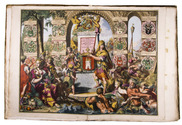
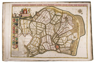
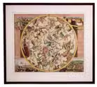
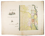
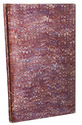
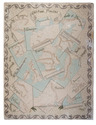
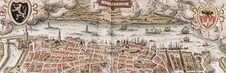
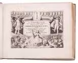
Amsterdam, Jacob Aertsz. Colom, [ca. 1660]. Oblong 4to (ca. 23 x 28 cm). With an engraved allegorical title page by Experiens Sillemans, and 50 full-page numbered engraved plates (47 maps, and 3 plates containing 117 portraits of the Counts of Brabant, Flanders, and Holland). Contemporary vellum. [2], 4, [14], 223, [2], [1 blank] pp. Full description
€ 6,500
Amsterdam, Jacob Aertsz. Colom, [ca. 1660]. Oblong 4to (ca. 23 x 28 cm). With an engraved allegorical title page by Experiens Sillemans, and 50 full-page numbered engraved plates (47 maps, and 3 plates containing 117 portraits of the Counts of Brabant, Flanders, and Holland). Contemporary vellum. [2], 4, [14], 223, [2], [1 blank] pp. Full description