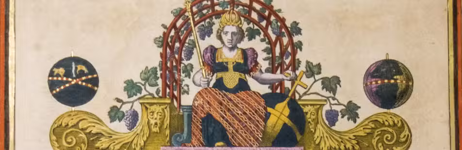

Vivid account of an important exploration of the Pacific,
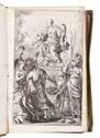
with beautiful illustrations of the scenery and inhabitants
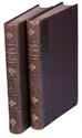
ARAGO, Jacques Etienne Victor.
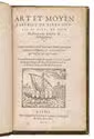
Promenade autour du monde pendant les années de 1817, 1818, 1819 et 1820, sur les corvettes du Roi l'Uranie et la Physicienne, commandées par M. Freycinet.
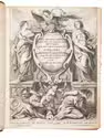
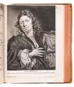
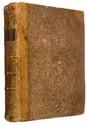
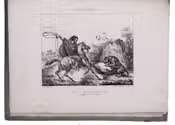
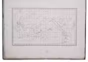
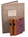
Paris, Béthune & Plon for Leblanc, 1822. 3 volumes. 8vo (text) and folio (atlas). With 26 full-page lithographed plates (1 lithographed map of the world, and 25 views and portraits, of which 2 of Rio de Janeiro, 5 of the Sandwich Islands and 3 of Australia). The text volumes in contemporary gold- and black-tooled quarter calf; the atlas volume in contemporary grey boards. [4], XXX, 452; [4], 506 pp.; [28] ll. Full description
€ 3,500
Paris, Béthune & Plon for Leblanc, 1822. 3 volumes. 8vo (text) and folio (atlas). With 26 full-page lithographed plates (1 lithographed map of the world, and 25 views and portraits, of which 2 of Rio de Janeiro, 5 of the Sandwich Islands and 3 of Australia). The text volumes in contemporary gold- and black-tooled quarter calf; the atlas volume in contemporary grey boards. [4], XXX, 452; [4], 506 pp.; [28] ll. Full description