
From the library of Napoleon and his wife Joséphine at Malmaison
ESPAGNAC, Jean-Baptiste-Joseph de Sahuguet d'Amarzit d'.
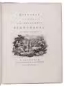
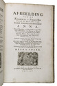
Relation de la campagne en Brabant et en Flandres, de l'an M.DCC.XLVI.
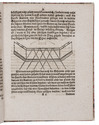
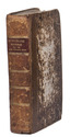
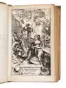
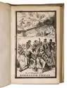
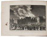
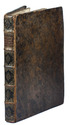
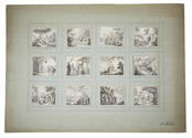
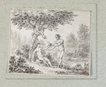
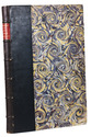
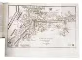
The Hague, sold by Pieter van Os, 1761. 12mo. With a woodcut vignette on the title page, 4 large folding leaves with the dispositions of the French troops, and 2 folding maps of battle fields, engraved by Kryt. Late 18th- or early 19th-century gold-tooled sprinkled calf. 161, [1] pp. Full description
€ 15,000
The Hague, sold by Pieter van Os, 1761. 12mo. With a woodcut vignette on the title page, 4 large folding leaves with the dispositions of the French troops, and 2 folding maps of battle fields, engraved by Kryt. Late 18th- or early 19th-century gold-tooled sprinkled calf. 161, [1] pp. Full description