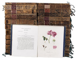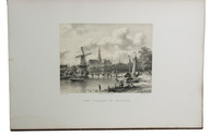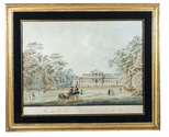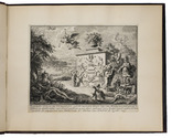

First session of the the first democratically elected parliament of the Netherlands
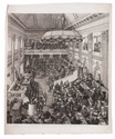
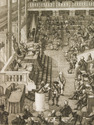
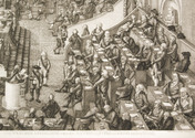
KOCKERS, George.
Nauwkeurige afbeelding van de Nationale Vergadering in Den Haag.
Middelburg, 1797. 1mo (77 x 63 cm).Stipple engraving (plate size: 68 x 61.5 cm). Full description
€ 2,500
Middelburg, 1797. 1mo (77 x 63 cm).Stipple engraving (plate size: 68 x 61.5 cm). Full description