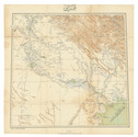

Declassified CIA map of the Middle East from the early 1970s
[MAPS - MIDDLE EAST - CIA].
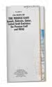
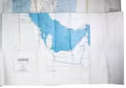
Franklin's CIA maps of the Middle East Kuwait, Bahrain, Qatar, United Arab Emirates the Persian Gulf and Iraq.
King of Prussia, Pennsylvania, USA, Franklin Maps, [after 1986 (and probably before 1991)]. Ca. 87.5 x 114 cm. Three maps printed in colour on one large sheet of paper: one large overview map of the Middle East (also showing parts of the Soviet Union, North Africa, and Turkey) on one side, and the "title page" with two smaller maps - one of Iraq and one of the countries around the Persian Gulf - on the other side. Folded. Full description
€ 1,500
King of Prussia, Pennsylvania, USA, Franklin Maps, [after 1986 (and probably before 1991)]. Ca. 87.5 x 114 cm. Three maps printed in colour on one large sheet of paper: one large overview map of the Middle East (also showing parts of the Soviet Union, North Africa, and Turkey) on one side, and the "title page" with two smaller maps - one of Iraq and one of the countries around the Persian Gulf - on the other side. Folded. Full description