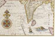

Photographic impression of middle class life in England and the military in Iraq
[IRAQ -ENGLAND - PHOTOGRAPHY].
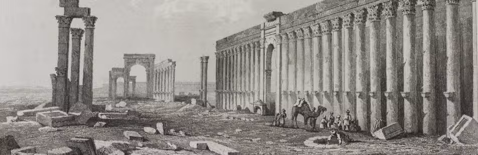
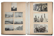
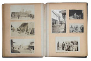
Life in England and Military Snap Shots in Iraq and Turkey, 1912-1920.
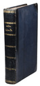
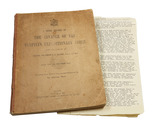
4to. Approximately 120 mounted (usually 2-4 to a page) snap shots ranging in size from 60 x 40 mm to 120 x 100 mm. Brief captions in black ink under almost all the photos. 1/4 leather album. Full description
€ 850
4to. Approximately 120 mounted (usually 2-4 to a page) snap shots ranging in size from 60 x 40 mm to 120 x 100 mm. Brief captions in black ink under almost all the photos. 1/4 leather album. Full description