
With beautiful hand coloured views
LOOSJES, Adriaan.
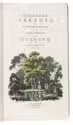
Hollands arkadia of wandelingen in de omstreeken van Haarlem.
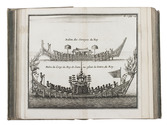
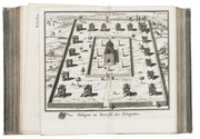
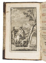
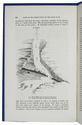
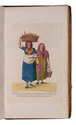
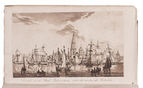
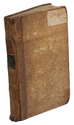
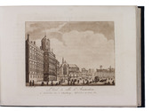
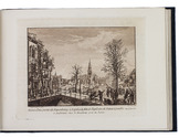
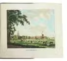
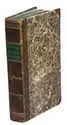
Haarlem, A. Loosjes Pz., 1804. 2 parts in 1 volume. 8vo. With an engraved title with a hand coloured view by F.A. Milatz, an engraved silhouette portrait of Hermina Christina Bicker in the text, 4 engraved folding views of Haarlem, Beverwijk and surroundings, all beautifully hand coloured, and 9 full-page engraved plates with musical scores. Contemporary gold-tooled half calf. VI, 532 pp. Full description
€ 1,750
Haarlem, A. Loosjes Pz., 1804. 2 parts in 1 volume. 8vo. With an engraved title with a hand coloured view by F.A. Milatz, an engraved silhouette portrait of Hermina Christina Bicker in the text, 4 engraved folding views of Haarlem, Beverwijk and surroundings, all beautifully hand coloured, and 9 full-page engraved plates with musical scores. Contemporary gold-tooled half calf. VI, 532 pp. Full description