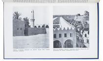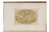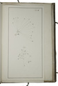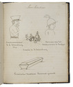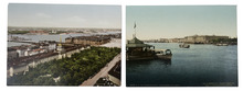

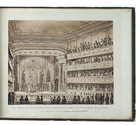
13 sepia aquatint views of Amsterdam

[MAASKAMP, Evert (publisher)].
[Collection of 13 aquatint views of Amsterdam].
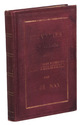
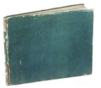
Amsterdam, Evert Maaskamp, [ca. 1826]. Oblong 4to (21 x 25 cm). With 13 sepia aquatint plates (image size ca. 15.5 x 19 cm). Contemporary green boards. [13] ll. Full description
€ 2,750
Amsterdam, Evert Maaskamp, [ca. 1826]. Oblong 4to (21 x 25 cm). With 13 sepia aquatint plates (image size ca. 15.5 x 19 cm). Contemporary green boards. [13] ll. Full description