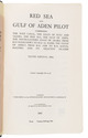

A notable narrative with detailed information on Northwest America, in splendid bindings
MARCHAND, Étienne and Charles Pierre Claret de FLEURIEU.
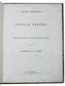
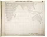
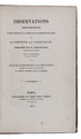
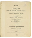
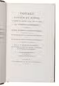
Voyage autour du monde, pendant les anneés 1790, 1791 et 1792, par Étienne Marchand, précédé d'une introduction historique; auquel on a joint des recerches sur les terres Australes de Drake, et un examen critique du voyage de Roggeween.
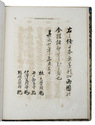
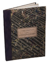
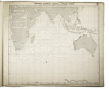
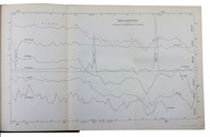
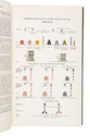
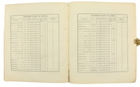
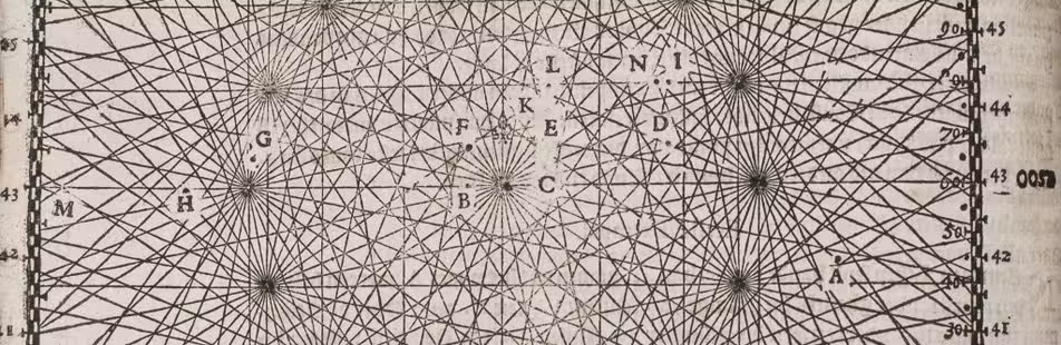
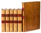
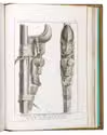
Paris, De l'imprimerie de la République, [1798-1800]. 6 volumes: 5 text volumes and 1 atlas. Large 8vo (23 x 15 cm) and 4to atlas. With 3 folding tables with vocabulary in 3rd volume and 15 engraved maps and 1 engraved plate in atlas volume. Contemporary light brown calf, gold-tooled spine gilt with star and flower pattern and 2 red morocco title labels, gold-tooled ornamental borders on the boards, gold-tooled board edges and turn-ins, gilt edges (COURTEVAL). [4], VIII, CCI, [3], 294, [2]; VII, [1], 529, [1]; [2], VIII, 474, [2]; VIII, 494, [2]; XII, 559, [5]; [2], VIII, 158, [2] pp. Full description
€ 27,500
Paris, De l'imprimerie de la République, [1798-1800]. 6 volumes: 5 text volumes and 1 atlas. Large 8vo (23 x 15 cm) and 4to atlas. With 3 folding tables with vocabulary in 3rd volume and 15 engraved maps and 1 engraved plate in atlas volume. Contemporary light brown calf, gold-tooled spine gilt with star and flower pattern and 2 red morocco title labels, gold-tooled ornamental borders on the boards, gold-tooled board edges and turn-ins, gilt edges (COURTEVAL). [4], VIII, CCI, [3], 294, [2]; VII, [1], 529, [1]; [2], VIII, 474, [2]; VIII, 494, [2]; XII, 559, [5]; [2], VIII, 158, [2] pp. Full description