
Revolutionary ideas on fortification, with 48 splendid plates

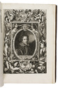
TENSINI, Francesco.
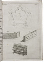
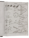
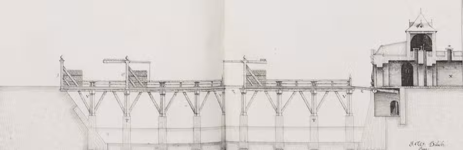
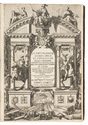
La fortificatione guardia difesa et espugnatione delle fortezzi esperimentata in diverse guerre.
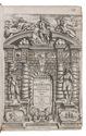
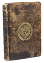
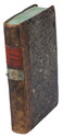
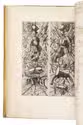
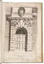
Venetia, Antonio Bariletti, 1630. Large folio (38 x 27.5 cm). With richly engraved allegorical frontispiece, engraved portrait of the author, and 48 fine engraved fortification plates (11 double-page), by Fillippo Sadeler. Contemporary calf, gold-tooled fillets on boards, richly gold-tooled spine, Rebacked, with the original backstrip laid down, later endpapers. [16], 83, [1 blank]; 83, [1 blank]; 128 pp. plus plates. Full description
€ 4,500
Venetia, Antonio Bariletti, 1630. Large folio (38 x 27.5 cm). With richly engraved allegorical frontispiece, engraved portrait of the author, and 48 fine engraved fortification plates (11 double-page), by Fillippo Sadeler. Contemporary calf, gold-tooled fillets on boards, richly gold-tooled spine, Rebacked, with the original backstrip laid down, later endpapers. [16], 83, [1 blank]; 83, [1 blank]; 128 pp. plus plates. Full description