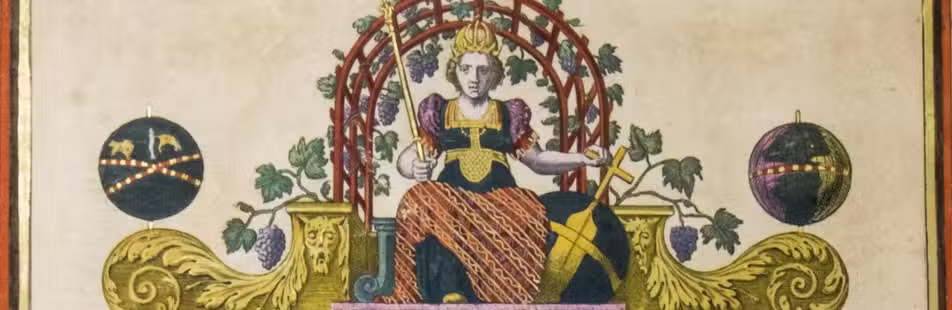

A monument to Dutch cartography: Colom’s 40 sheet wall map of Holland and Utrecht
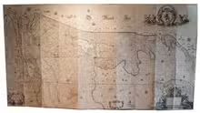
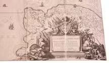
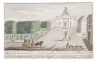
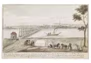
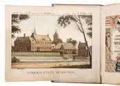
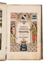
[WALL MAP - THE NETHERLANDS - COLOM, Jacob Aertsz.].
Comitatus Hollandiae et Dominii Ultraiectini tabula = Carte nouvelle de la Comté de Hollande et de la Seigneurie d'Utrecht.
Amsterdam, Covens & Mortier, [ca. 1725]. Ca. 160 x 289 cm. Mounted on linen, folded and kept together in a paper slipcase, the whole kept in a book-shaped box. Full description
€ 15,000
Amsterdam, Covens & Mortier, [ca. 1725]. Ca. 160 x 289 cm. Mounted on linen, folded and kept together in a paper slipcase, the whole kept in a book-shaped box. Full description